SOURCE NOTES
Photographs & drawing methods.
Three real archival photographs provide visual reference. Twelve original SVG exercises simplify or rearrange their visible motifs. Shapes, line weights and teaching shadows are hand-authored illustration, with no surveyed coordinates or physical scale.
The photographs are shown intact and separately from the guide drawings. The exercises are not traced from another artist’s drawings. They do not reconstruct hidden rock geometry or replace the real ground scan required for Thor’s Hammer.
Early Riser At The Amphitheater
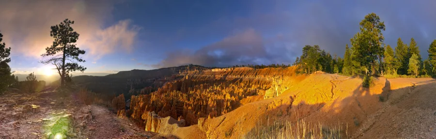
Brian B. Roanhorse / NPS. October 30, 2015.
The individual retained NPS metadata record explicitly states “Public domain”. Its separate GrantingRights field is Unknown; the explicit public-domain constraint is the accepted rights basis. The image here is a byte-identical copy of the accepted 900-pixel-wide WebP derivative. It has no EXIF or location metadata. No new crop, retouching or enlargement was applied.
Thors Hammer at sunrise
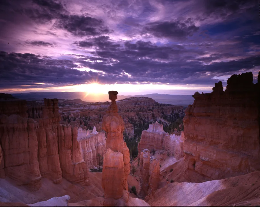
NPS Gallery; individual photographer not recorded. Capture date not asserted.
The individual retained NPS metadata record explicitly states “Public domain”. Its GrantingRights field is Full. The image here is a byte-identical copy of the accepted 900-pixel-wide WebP derivative. It has no EXIF or location metadata. No new crop, retouching or enlargement was applied.
A tree grows at Sunrise Point
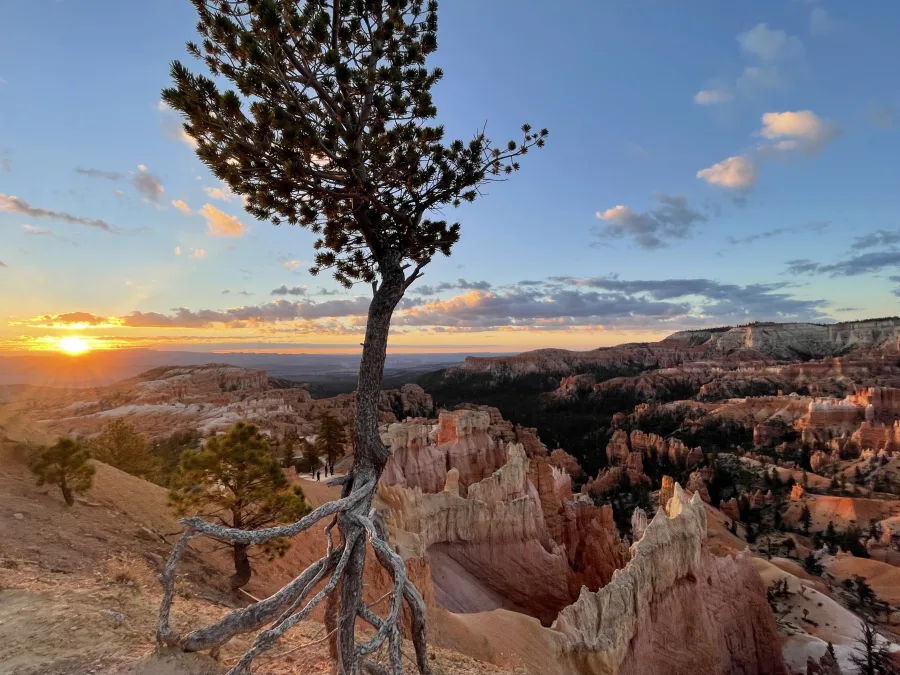
Heather Williamson / NPS. September 17, 2022.
The individual retained NPS metadata record explicitly states “Public domain”. Its GrantingRights field is Full. The image here is a byte-identical copy of the accepted 900-pixel-wide WebP derivative. It has no EXIF or location metadata. No new crop, retouching or enlargement was applied.
Drawing is a way of asking.
“Shape”, “edge”, “shadow” and “space” describe artistic exercises. Distances, orientation, heights, shadow timing, tree identity, current access and geological layer boundaries cannot be inferred from these illustrations. The geological reading behind the general rock context is the NPS hoodoo explanation; no agency diagram is reproduced.
Guide geometry uses a 960 × 620 drawing-unit page, with x increasing rightward and y downward. No CRS, metres, bearings or survey accuracy is assigned. The notebook export places each plate on a 960 × 970 page and preserves named guide, annotation and page groups.
Your notebook
Drawing works in memory. Optional saving uses one local browser-storage key, bcc.field-sketch-studio.v1. There is no upload, analytics, remote runtime dependency, geolocation, account, service worker or automatic network submission. Exported SVGs contain your notes and marks. An SVG export is editable in vector tools but is not a browser-notebook backup format.
Reuse
Original illustration and software are supplied to the BCC project for local integration review; no separate public license is granted here. The three photographs retain their individual public-domain status and credits. No endorsement or affiliation is implied.
Machine-readable source and rights ledger · Back to the study book