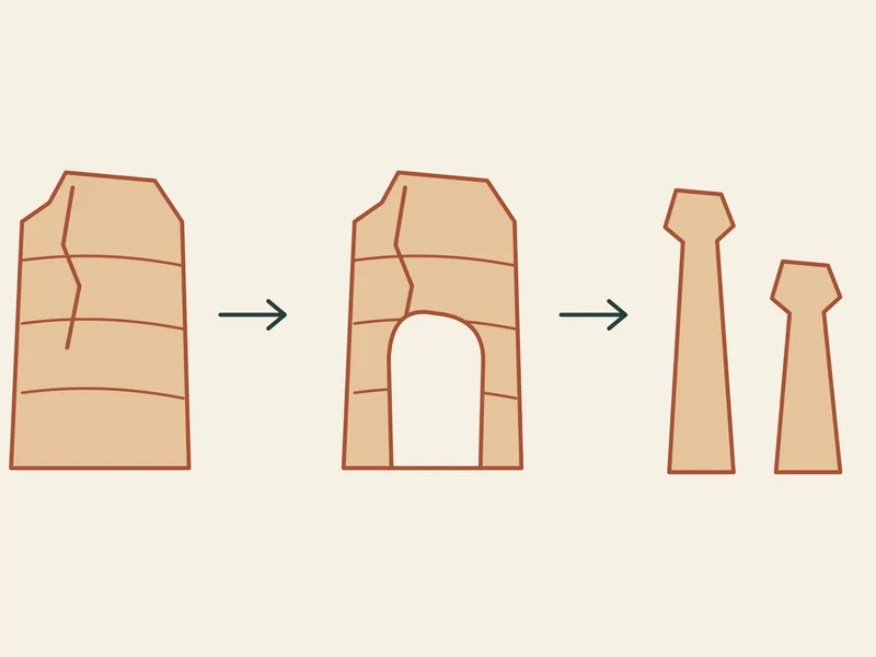
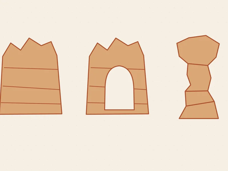
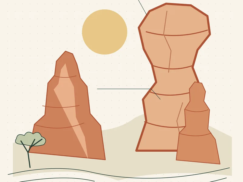
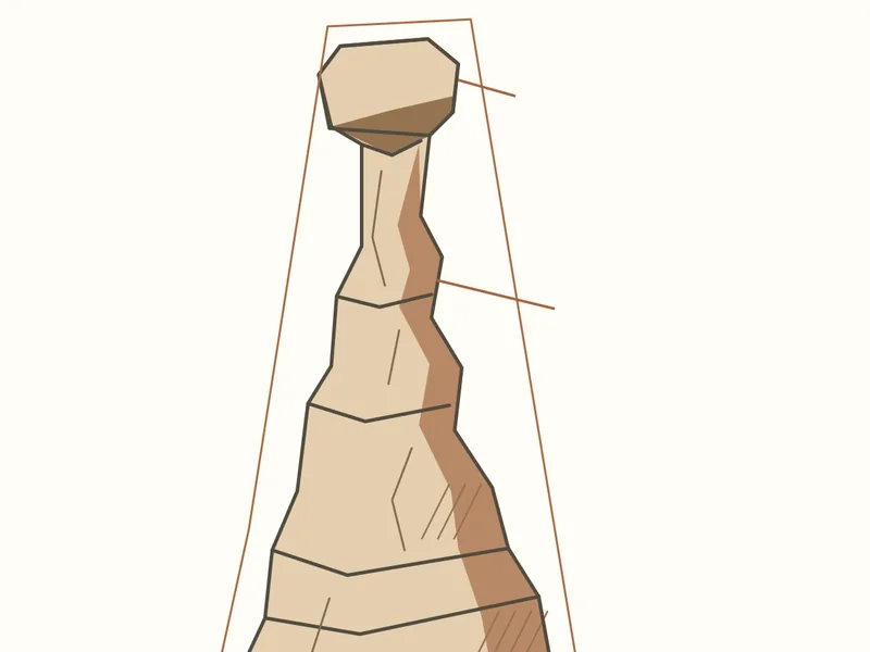
Six ready-to-teach lessons on weathering, rock colour, deep time, trail numbers, trees and the night sky. Each compares an observation with an interpretation, and the workbook puts all six in one printable or self-contained file.
Topics: Geology, Maps and scale, Living things, Night sky
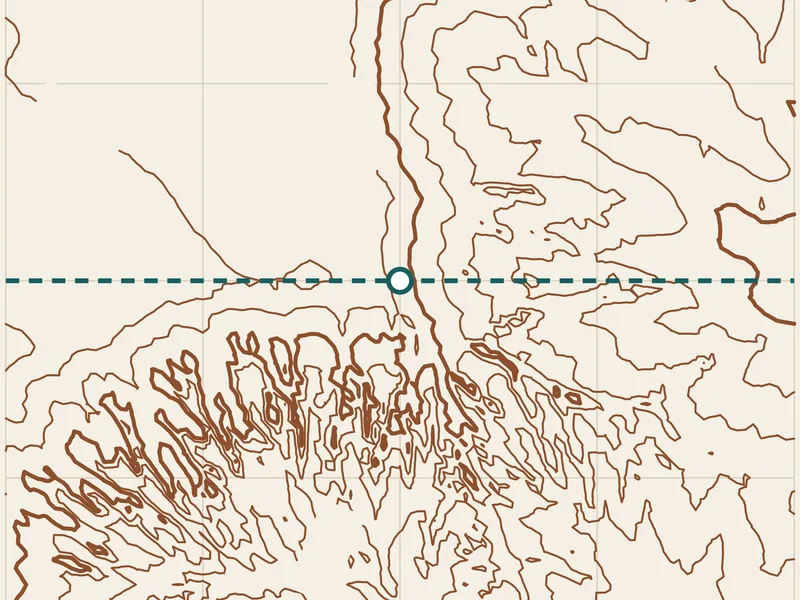
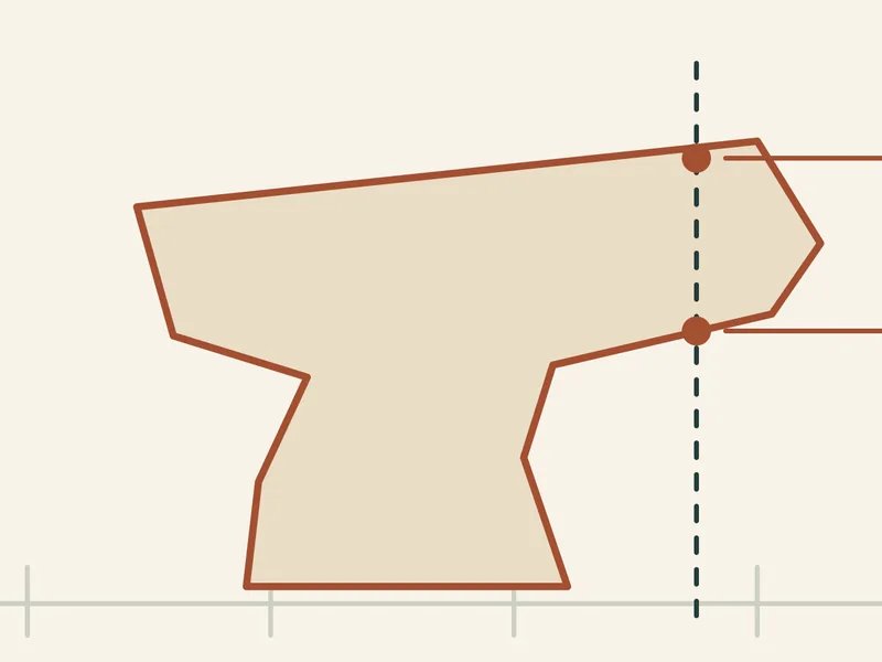
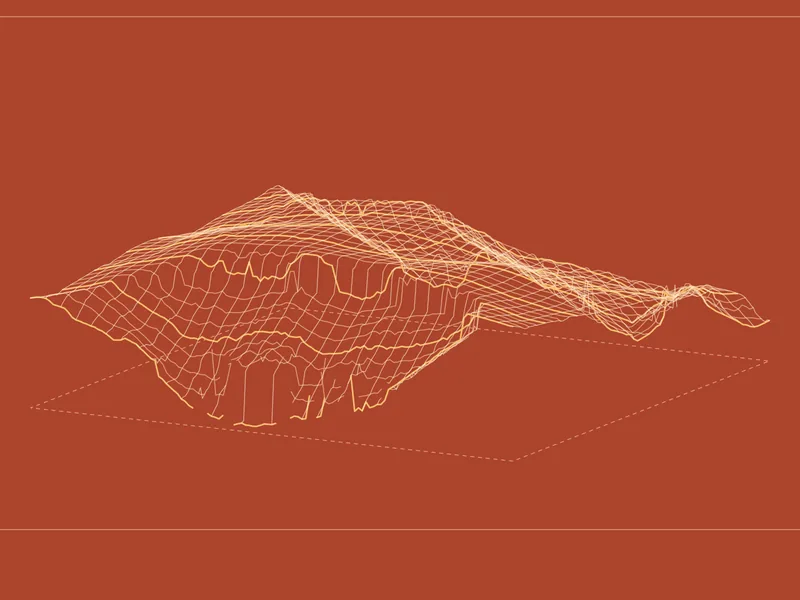
Ten lessons on contour spacing, sections, slope and vertical exaggeration. Five simple teaching surfaces lead to a small grid of real Bryce terrain derived from USGS data, with the calculations left unexaggerated.
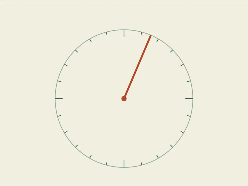
Twelve untimed quests about north, bearings, rotation and scale, drawn around seven NPS overlook locations. The diagrams teach orientation; they do not show routes, access or what is visible.
Twelve three-step cases across terrain, routes, sky calculations and biological records. Thirty-six evidence cards help tell a supported claim from a plausible but untested leap.
Topics: Maps and scale, Geology, Living things, Night sky
Twelve questions about units, ranges, inverse relations and volume, then linear and logarithmic axes. Published quantities and teaching assumptions stay separate from field measurements.
Twelve original puzzles about contours, viewpoints, scale, layers, shadows and evidence, each with an explanation. The shapes and scenarios are invented teaching premises.
Sixteen illustrated observation activities for practice at home or outdoors, with a small notebook that stays on your device and keeps observations apart from interpretations.
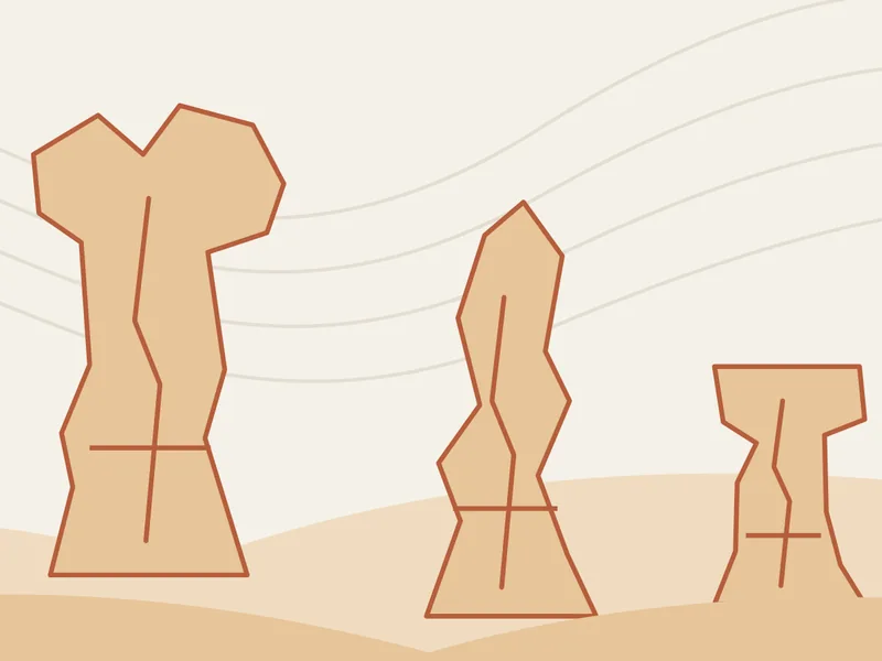
Twelve drawing exercises on shape, space, shadow and edge, with three credited reference photographs. The drawings have no geographic or physical scale.
Twelve monthly sheets and six comparisons. Your dated notes, a historical temperature table and calculated daylight stay separate, and nothing predicts a bloom, a sighting or the weather.
Topics: Notebooks and drawing, Living things, Night sky
Eight short branching stories about choices on the trail, with forty-eight paths and eight discussion cards. The situations are fictional; the guidance behind them is the National Park Service’s.
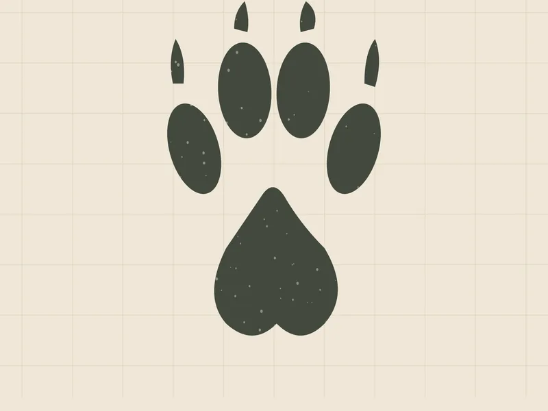
Twelve track studies in clear, partial and softened states, four ground surfaces and four evidence exercises. Sizes are published references, not Bryce measurements.
Twelve posters: four terrain studies and four trail studies derived from survey data, and four geology diagrams. Each keeps its evidence class, source and scale note.