
Hoodoo
The best companion for a day at Bryce: trails on a 3D map, the climb back before you walk down, and a field guide that explains the rock around you.
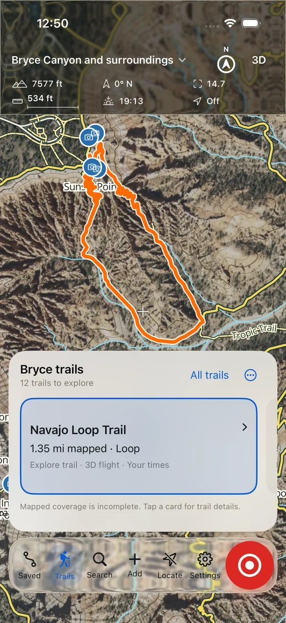
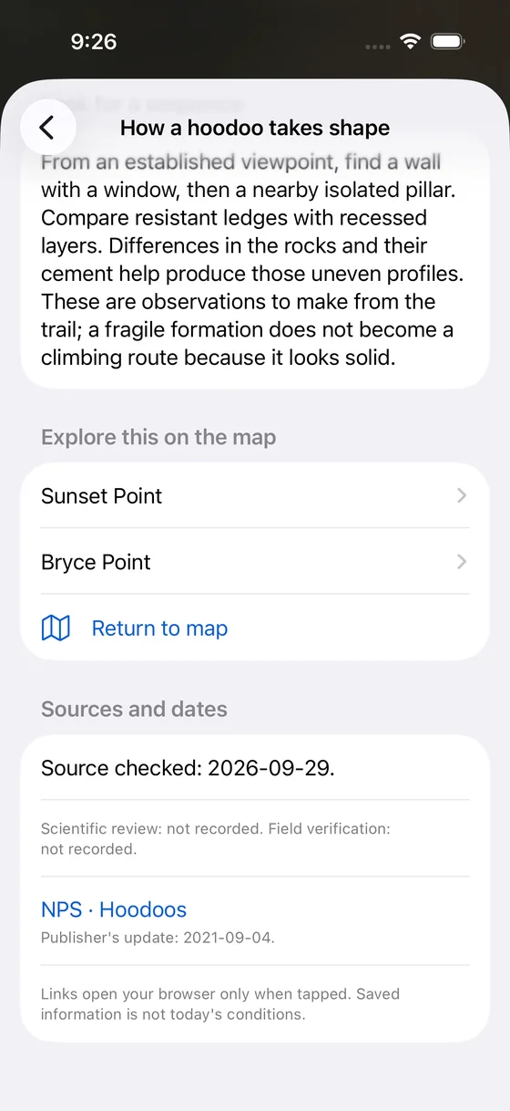
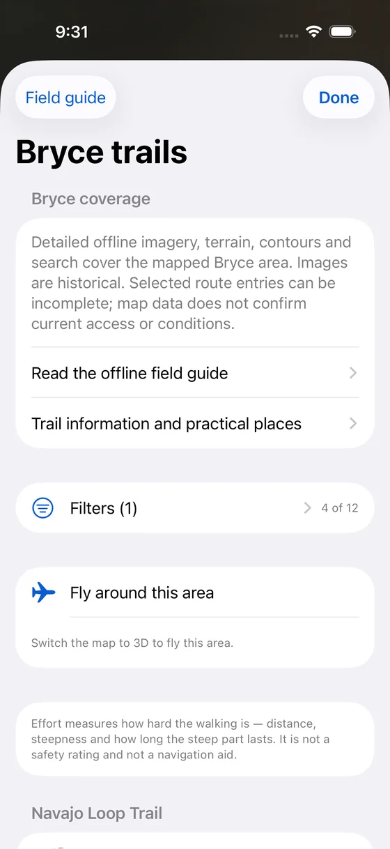
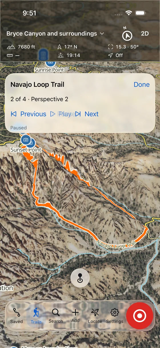
See the trail before you’re on it
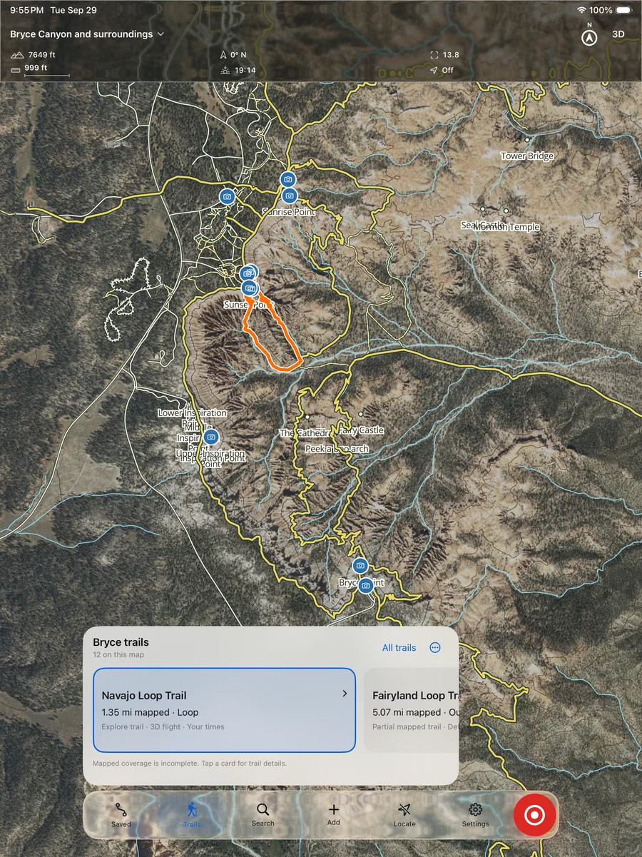
Hoodoo’s map is built from USGS lidar and USDA aerial imagery, the same sources as the 3D model on our homepage. Twelve Bryce trails are drawn on it. Swipe through the trail cards and the map flies to each one; switch to 3D and a short flight shows the Navajo Loop’s switchbacks from four angles.
The trail catalog isn’t complete, and the app says so on the screen instead of hiding it.
Know the climb back
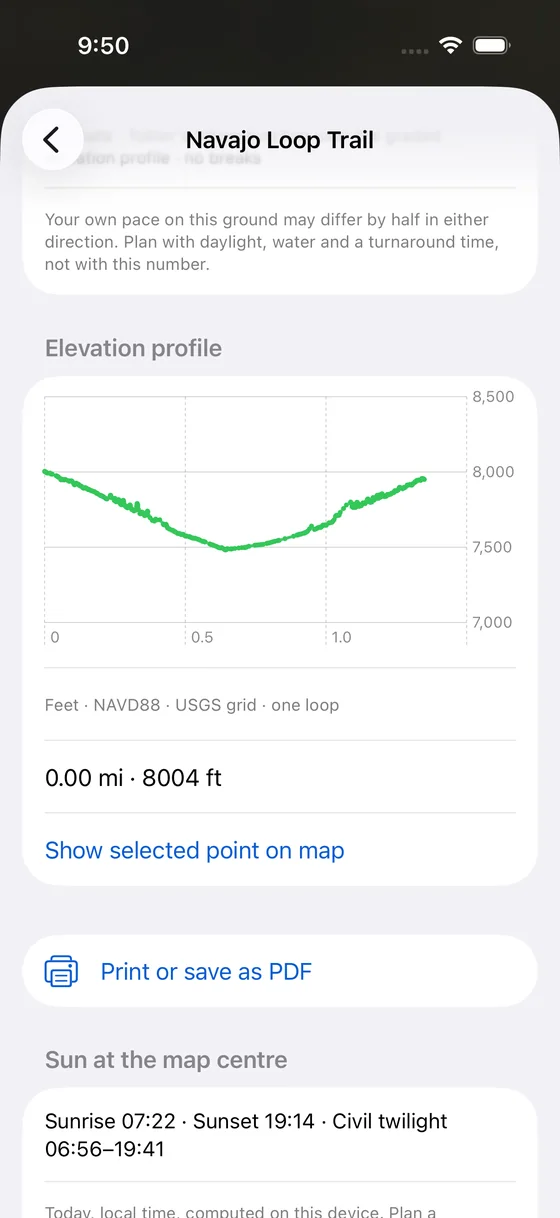
Most amphitheater trails start at the rim and go down, so the hard part comes last. Each mapped trail has an elevation profile drawn from the USGS elevation grid, along with sunrise, sunset and civil twilight for the day, worked out on your phone.
A profile is a planning aid. It is not a field inspection, a closure notice or a safety rating.
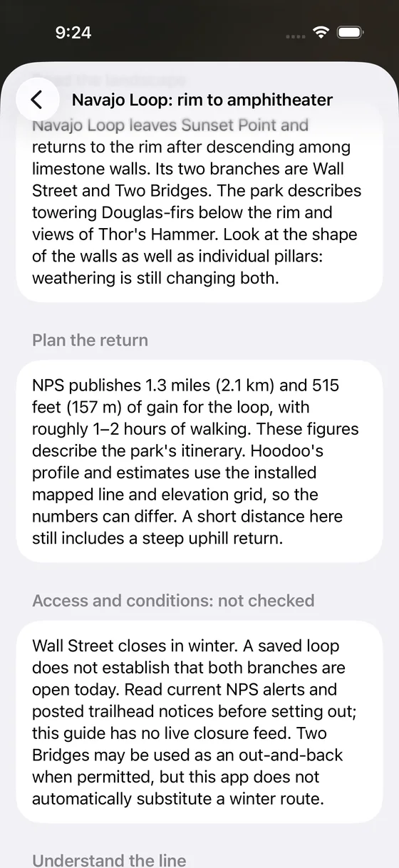
A field guide for what you’re looking at
Nine articles cover hoodoos, the rock layers seen from Yovimpa Point, forests, wildlife, dark skies, the park’s history, seasons and caring for the place. Each one lists its sources and the date they were checked. Fourteen practical places cover viewpoints, trailheads, restrooms and water.
Everything is stored on the device, so the guide still opens when the signal drops below the rim.
Room to plan on iPad
The same map, trails and guide on a bigger screen, for planning the night before or reading after the hike.
- 12
- Bryce trails drawn on the map. Some mapped lines are incomplete.
- 9
- Field guide articles, each with sources and a check date.
- 14
- Practical places: viewpoints, trailheads, restrooms and water.
Private by design, honest about its limits
- No account. Saved outings, recorded trips and optional heart-rate data stay on your device. Nothing is uploaded or posted to a leaderboard.
- No live conditions. Closures change. Check NPS current conditions, posted notices and the visitor center before you go.
- Not a navigation or rescue tool. A mapped line doesn’t prove a route is open or safe today.
- Not released yet. Device and field testing continue; there is no public download.