
Bryce geology, in four field notes
Short, sourced explanations to read before a visit or on the rim. Start with how hoodoos form, or with the rock they are carved from.
How a hoodoo forms
Plateau edge, fins, windows, hoodoos. How rain, ice and gravity shape the rim, with a four-stage diagram you can step through.
Read field note 01The Claron Formation
The pink and white limestones record ancient lakes and rivers. The rock is tens of millions of years old; the hoodoos carved into it are much younger shapes.
Read field note 02Bryce and the Grand Staircase
Bryce sits at the top of a sequence of cliffs that steps down through the Zion region toward the Grand Canyon. What connects them, and what doesn’t.
Read field note 03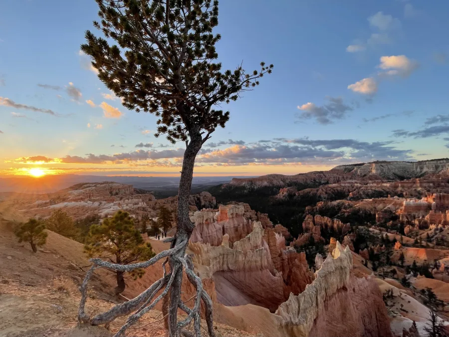
Geology and care
Walking to a hoodoo’s base disturbs the clay slopes that help protect its foundation. How to make a useful observation from the trail instead.
Read field note 04See it in 3D first
The model on our homepage is built from USGS lidar. Its six-stop tour covers the plateau edge, the four stages of a hoodoo, the Claron’s two layers and Bryce Creek, each with its source.
Turn the modelHow we write these
The explanations are our own, drawn from National Park Service and U.S. Geological Survey material. Each note lists its sources and the date they were checked. Diagrams simplify the ideas and are not surveyed maps. No geologist has reviewed these notes yet; corrections are welcome at hello@brycecanyon.co.
For today’s access and closures, use NPS current conditions. Hoodoo, our companion app in development, carries related articles offline.