Sell to the conservancy
We would buy the land at a price agreed with you, and record a conservation easement at closing, so the land stays protected whoever owns it later.

Weather unavailable
Observed at Bryce Canyon Airport. Conditions at the rim can differ.
NWS · KBCE airport · time unavailable
Forecast unavailable. Use the NWS source below.
Forecast issue time unavailable
Park updates unavailable
Check NPS for the latest closures and conditions.
Good conservation begins with listening—to landowners, neighbors and the towns of Tropic, Bryce Canyon City and Cannonville.
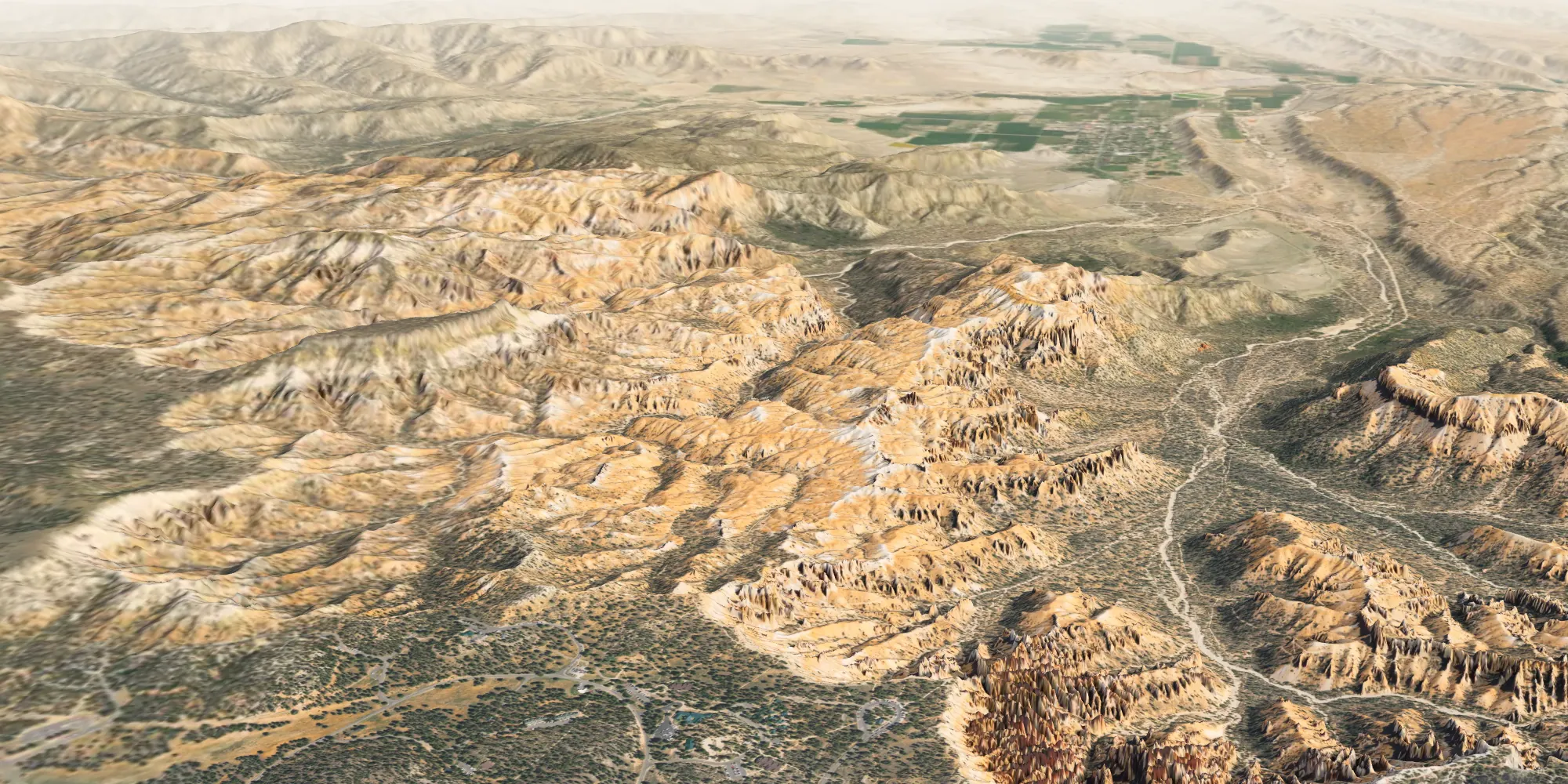
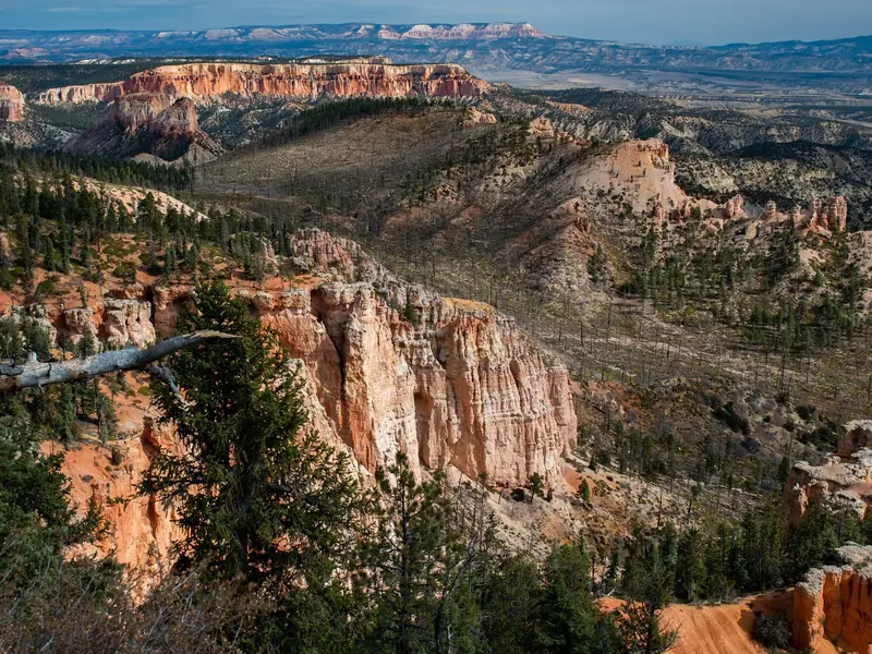
 Derived View toward Tropic from a model based on USGS lidar and USDA aerial imagery; no property is marked.
We’re interested in buying land for conservation or helping owners protect land they keep.
We would buy the land at a price agreed with you, and record a conservation easement at closing, so the land stays protected whoever owns it later.
An easement lets you keep owning, using and passing on your land while ruling out development forever. An independent organization holds it; we would help you find one.
Sell part and protect the rest, or sell in stages. We would work out what fits your plans.
No obligation. We would like to hear what you want for the land before anything else.
These are the terms we intend to write into the easement for any land we protect. The exact wording is agreed with you and the easement holder.
Owners could stay involved through visits, seasonal updates and the stewardship plan. We would also like to record the land’s history with you.
Chase Kaczmarek, the founder, lives in the area and is at Bryce two or three times a week. He is a software developer and plans to do much of the fieldwork himself.
Bryce Canyon Conservancy Trust was established on October 11, 2026, with Chase as sole unpaid trustee. The earlier corporation remains during the transition. The trust does not own or protect any land yet. Organization status.
Future work depends on actual funding and agreements; public donations are not currently accepted. We won’t make an offer that depends on a grant we haven’t received. Price and payment are worked out privately with you.
That is decided property by property, with you and the easement holder, around what the land needs. We won’t build trailheads, parking or visitor facilities.
Existing rights and uses are part of the first conversation. Some can continue under an easement. We would work through each one with you before any agreement.
Our federal tax-exemption application was filed October 14, 2026; IRS recognition is pending. We make no tax-benefit promise; please ask your own independent adviser about any proposed transaction.
The easement stays with the land and binds whoever owns it next, and the independent holder keeps enforcing it. The trust dedicates its assets to charitable purposes.
No. Conversations with landowners stay private. We don’t publish owners’ names, their land or our negotiations without permission.
We plan to follow land-use decisions in the surrounding towns and Garfield County.
Own land here, know its history or follow what the towns are deciding? We would be glad to hear from you.
hello@brycecanyon.co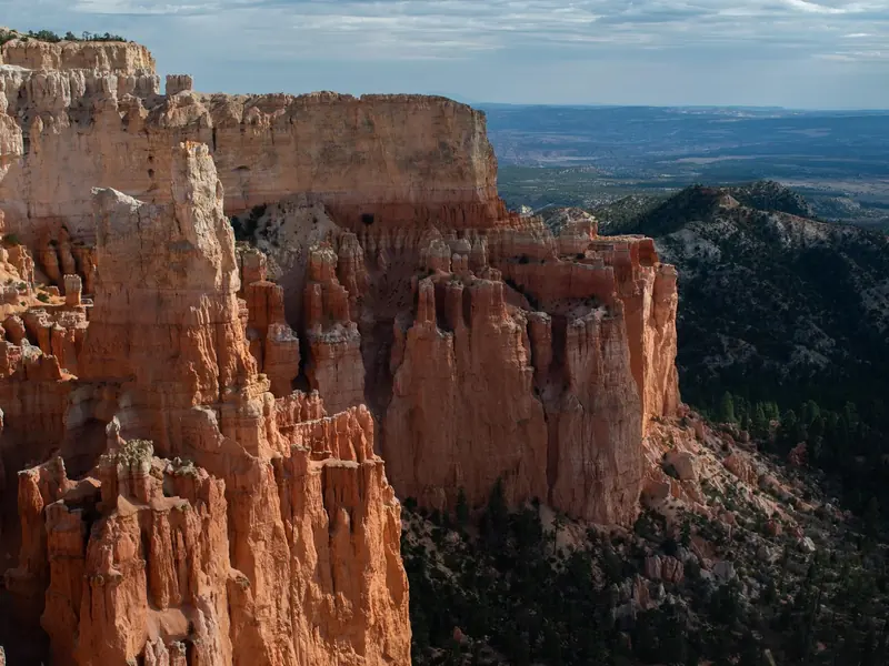 What we’re forWhat the conservancy is for
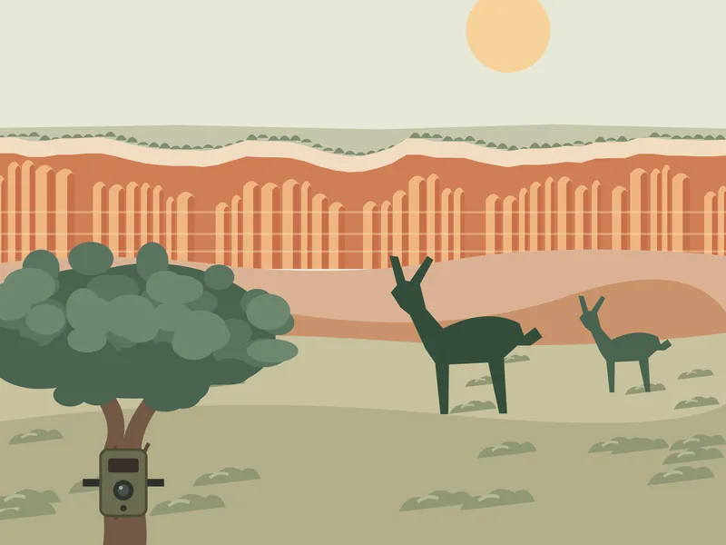 Field stationWhat it would measure, and why
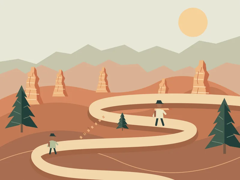 StewardshipCaring for the land in person
 AboutWho we are and where we stand
Photographs: NPS (Peter Densmore).