1. Notice · 5 minutes
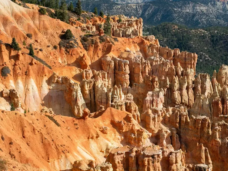
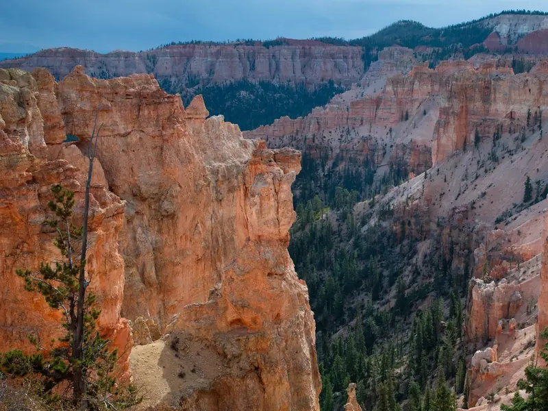
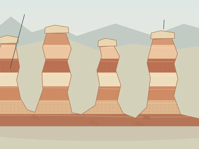
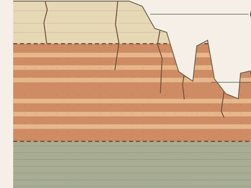
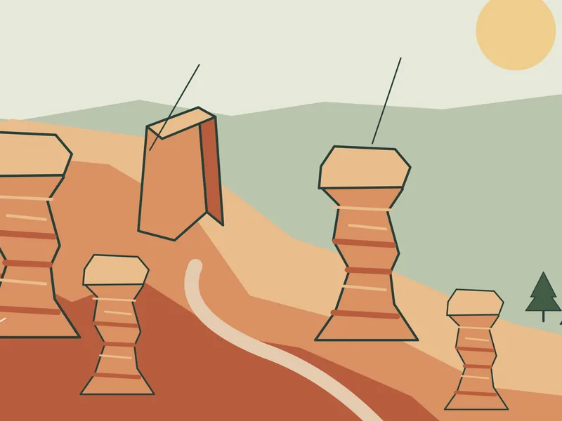
Read the plate descriptions or study the annotated hoodoo sequence. Describe the wall, opening and columns using only what is shown. Put a proposed explanation in a separate sentence.
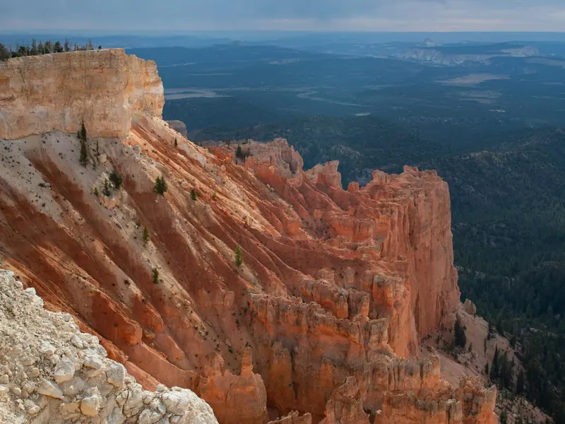
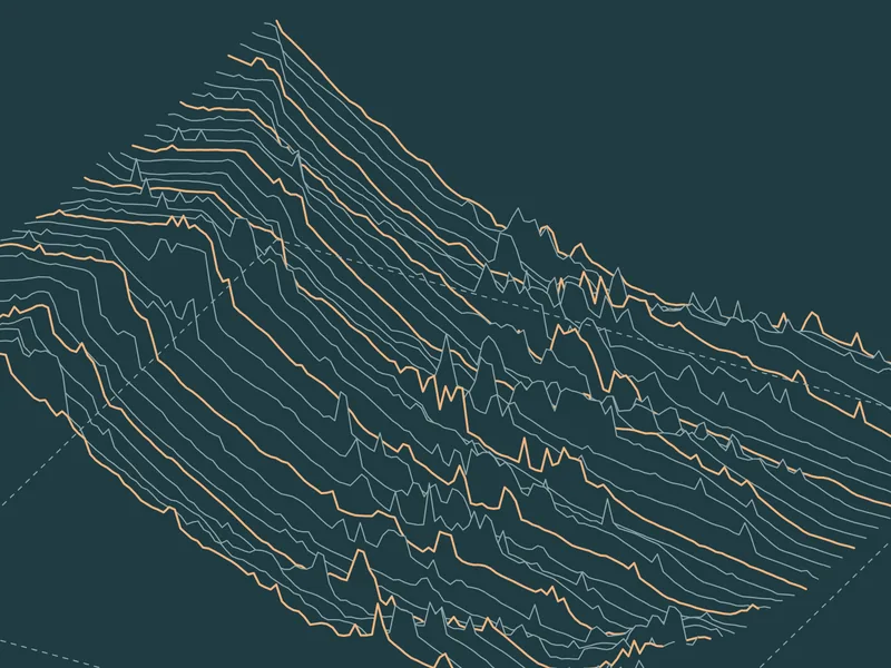
Start above the amphitheater, where ridges and gullies show how the plateau is being worn back. Then compare that broad view with a single formation. The atlas places the landscape stories in their geographic setting.
Explore the interactive atlas →These are derived landscapes, not current conditions. Elevation, imagery, drawn surfaces and inferred shapes have different dates and levels of detail. They help explain the land; they do not determine whether a trail is passable.
Terrain sources and construction →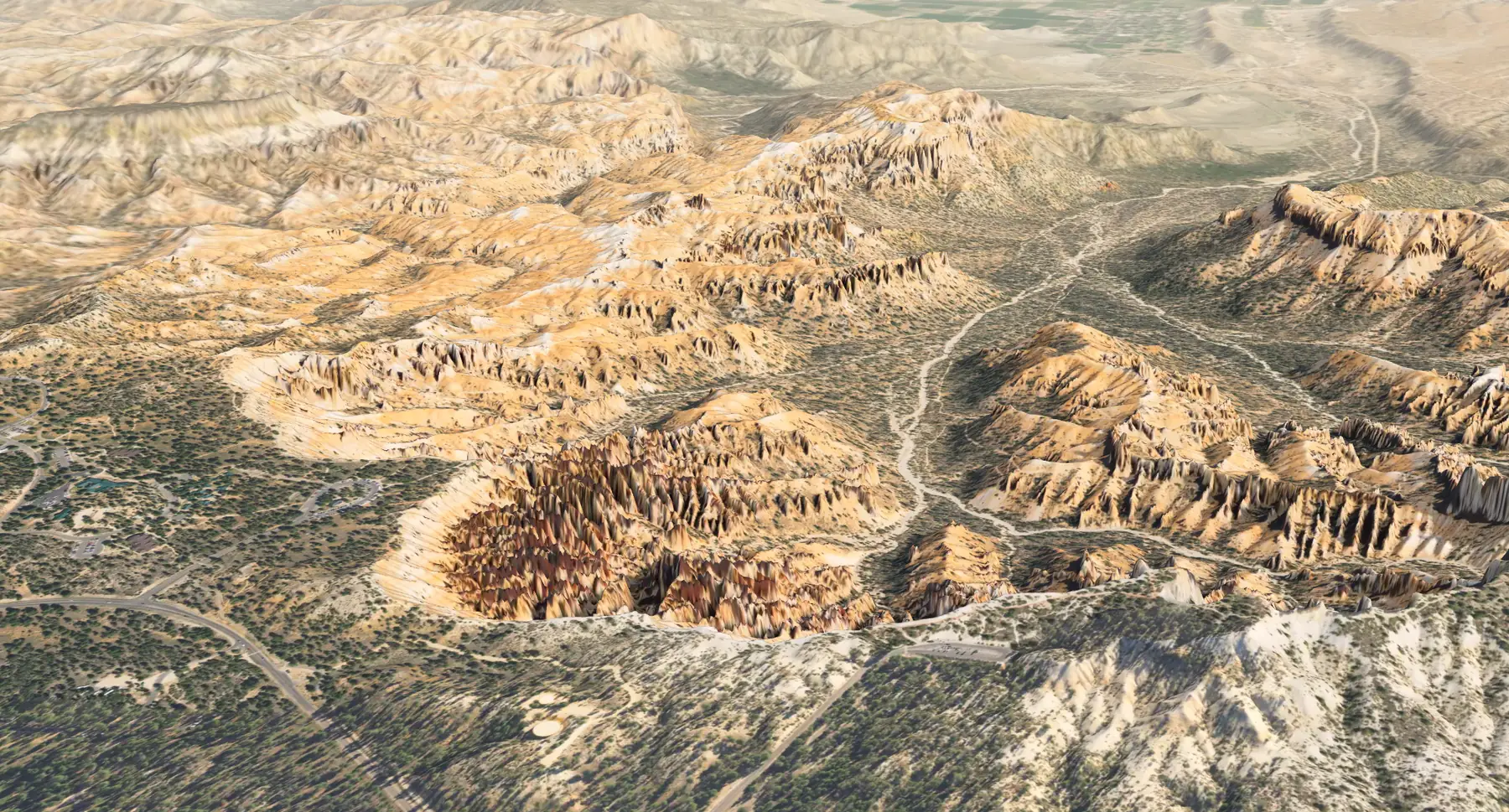
For educators · A complete starting activity
02 / Look closer
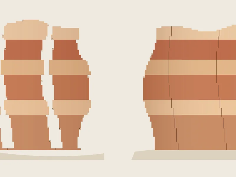
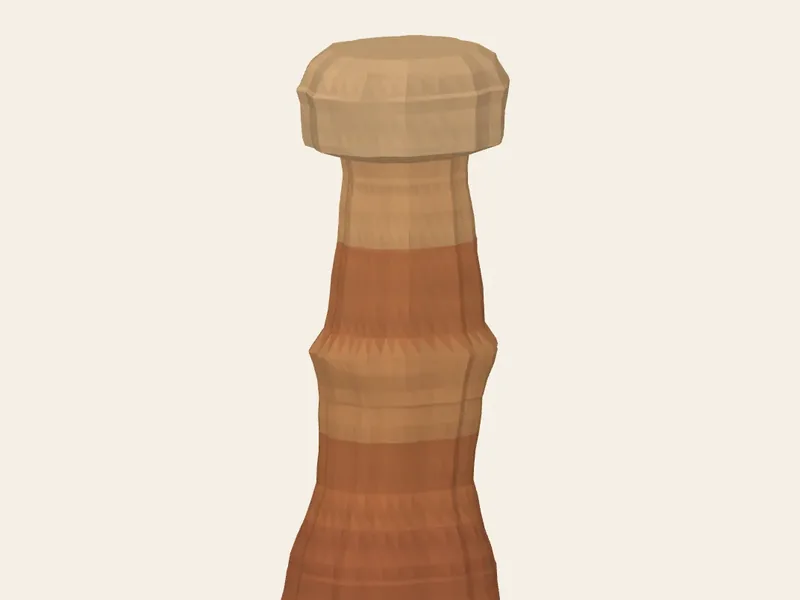
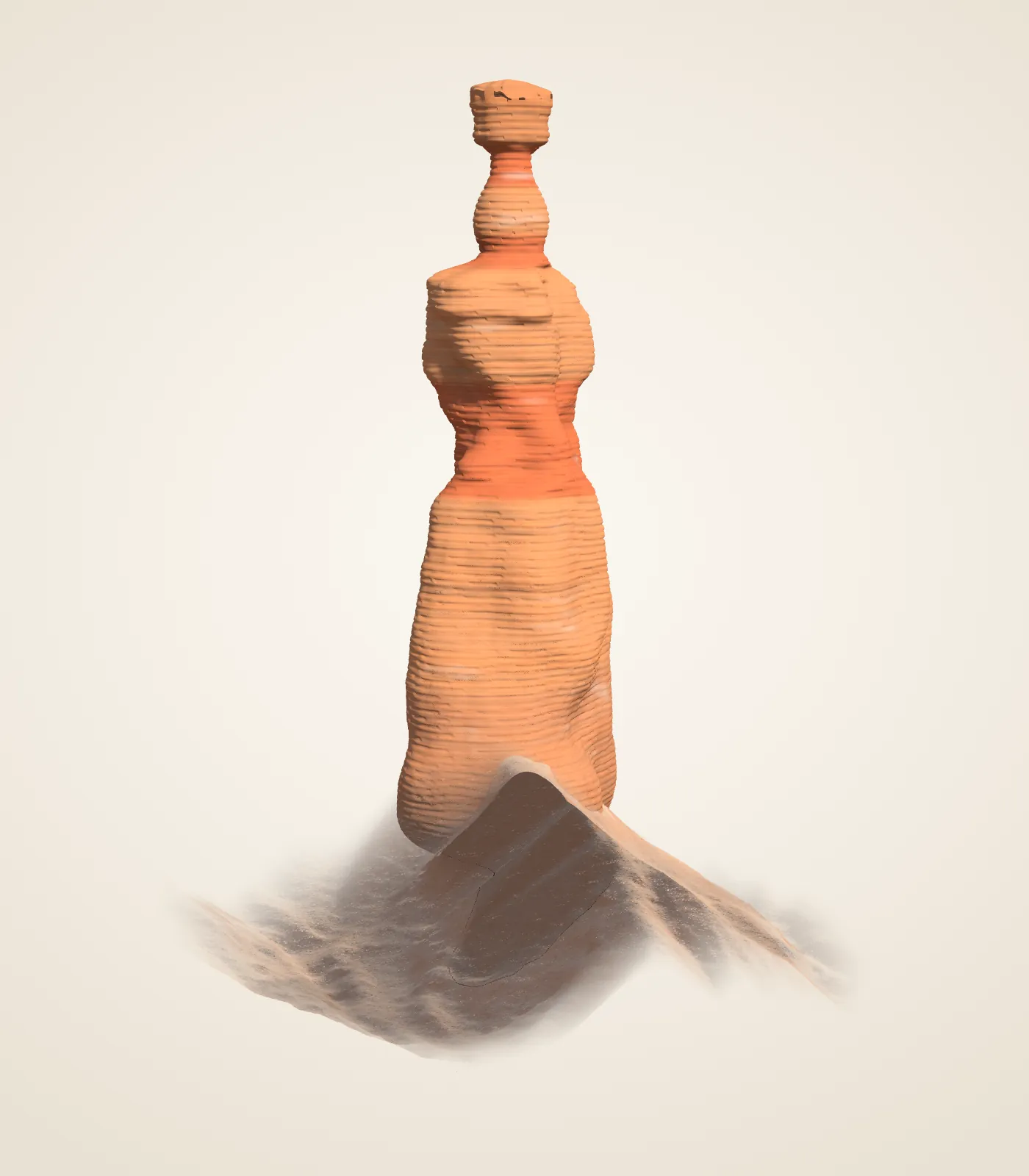
Ridges become fins, windows open, and separated columns remain as rock wears away. Thor’s Hammer makes the contrast between cap and narrow neck easy to see.
Turn Thor’s Hammer in 3D →The 2018 USGS airborne lidar supplies much of the shape. The aircraft could not see beneath the cap; that part is interpreted from a photograph. Surface colors and fine texture are drawn, not measured.
Methods and original sources →03 / Along the scenic drive
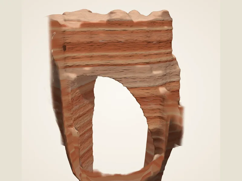
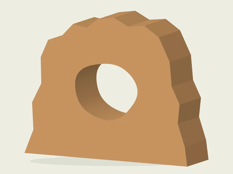
Despite its name, this is an arch: weathering opened a hole through the rock rather than a stream carving a bridge. Compare the opening with the surrounding fin, then notice how much stone remains above it.
Explore the arch in 3D →The model uses 2018 USGS laser data; the opening is traced from a USGS photograph taken at the overlook. It is an interpreted reconstruction, not a complete ground scan.
Model methods →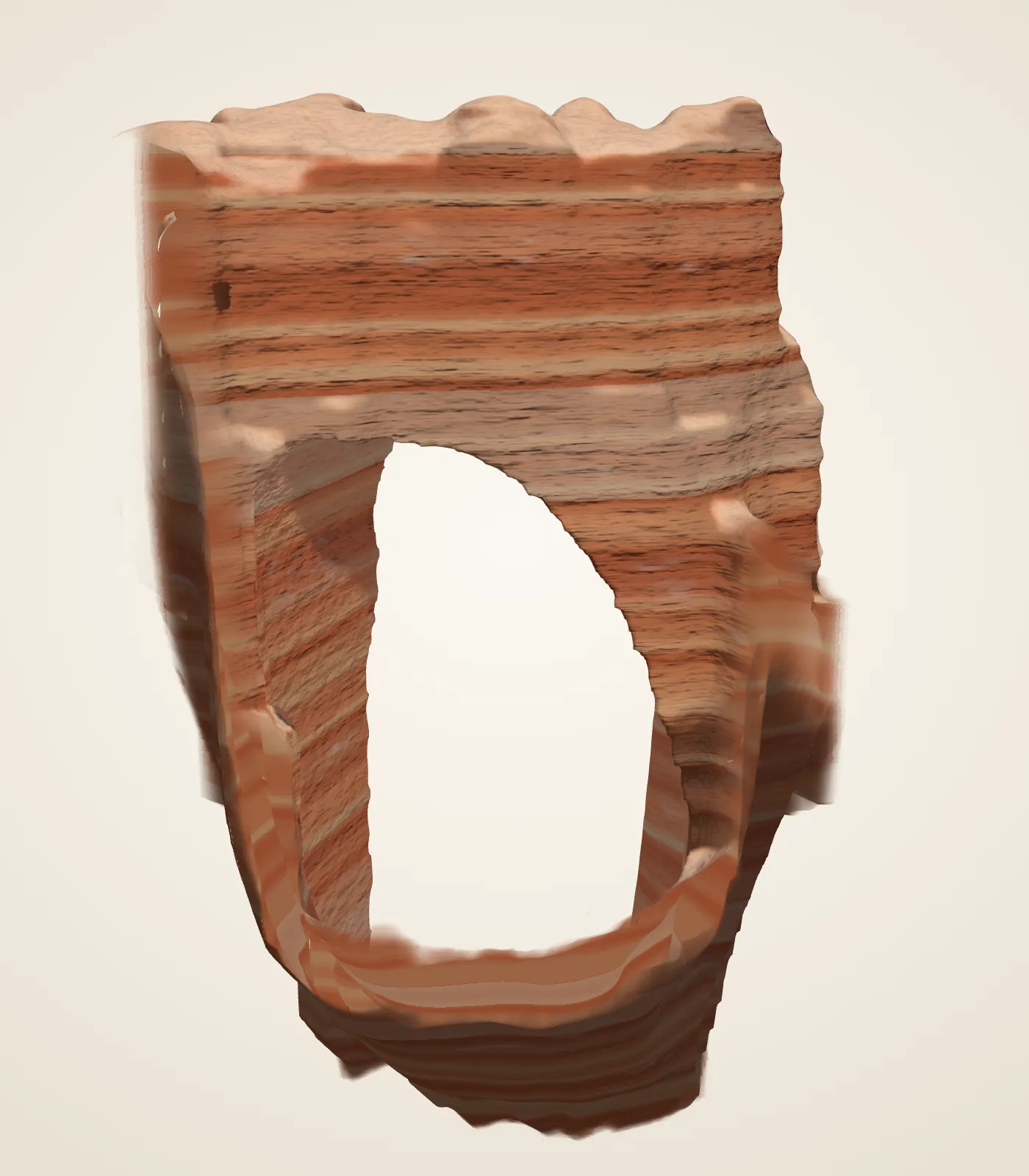
04 / Follow a trail
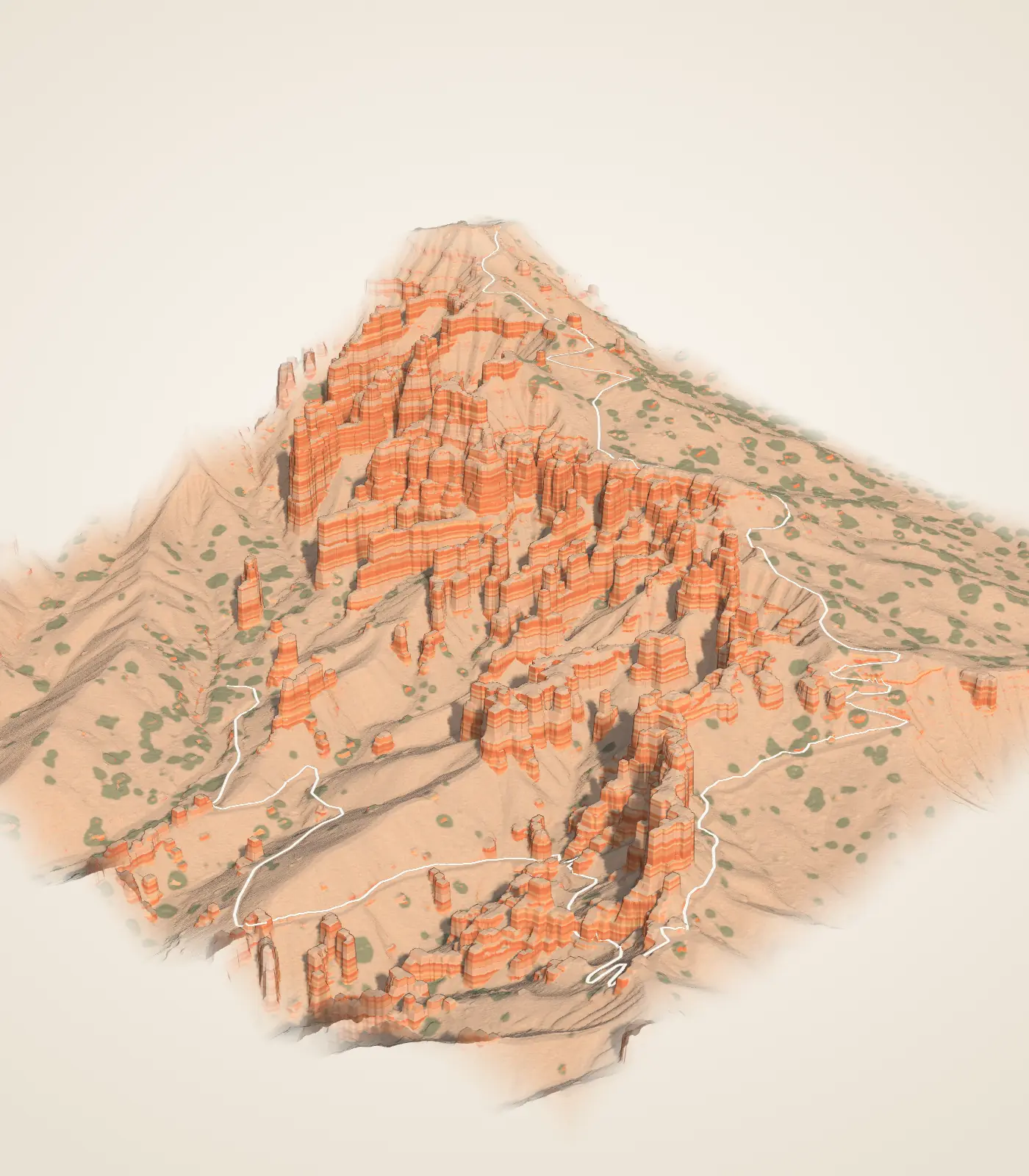
A view from above turns into a walk among the formations. The model places a mapped trail on the lidar ground so you can inspect the descent and the return climb. Check the separate current trail notices before using it to plan a walk.
Walk the model →The OpenStreetMap line is not a survey or a trail-conditions report. Sources & limits.
A field guide in development
The Bryce Canyon Conservancy app brings map, trail and learning material together for iPhone and iPad. The website’s learning experiences are available now.
No verified public App Store listing is available. The existing screenshots show September 2026 development work, before the new app design. They are not current release screenshots.
No complete offline map or current trail-safety service is promised. Read the app’s privacy and offline qualifications.
Free learning
Choose a question about the rocks, living landscape or sky. Each guide keeps its sources and readable alternatives to interactive models.
Explore all 23 places · Lessons, printables and field activities for educators
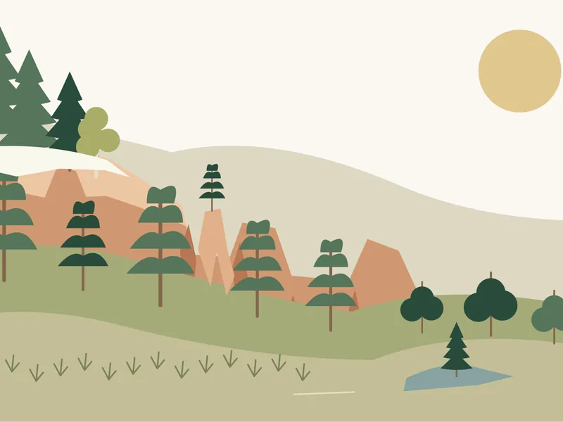 Living BryceA field guide to plants and animals
 BirdsFrom the raven to the hummingbird
 Cones and seedsThe conifers, by cone and seed
 WildflowersBlue flax, scarlet gilia and more
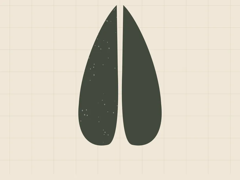 TracksFrom mule deer to wild turkey
 After darkBats, owls, a ringtail and a fox
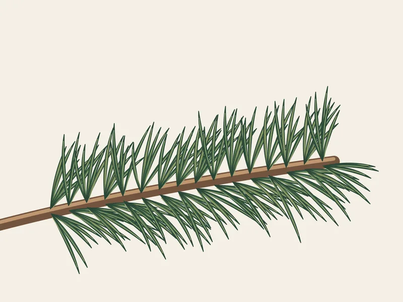 Bristlecone pineWhere it grows and how to know it
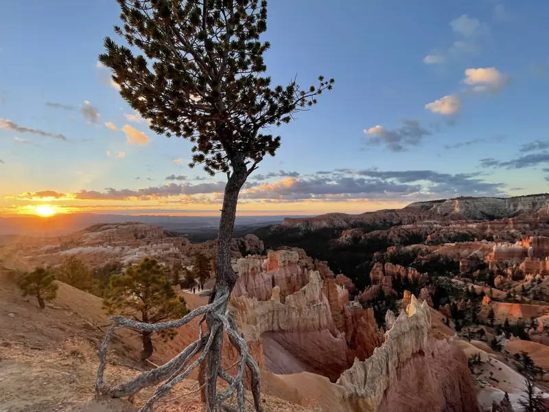
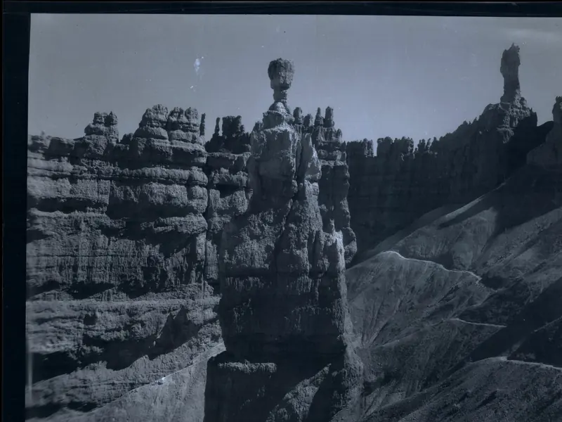
Photographs: NPS (Peter Densmore, Heather Williamson). History: Courtesy Bryce Canyon National Park, Photographer Maurice Cope, Museum Catalog Number BRCA 532/001-#027.
From lake mud to a standing pillar, in seven stops.
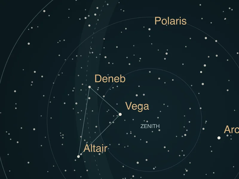
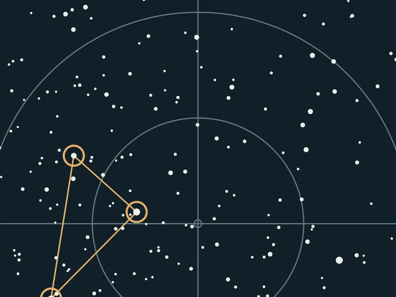
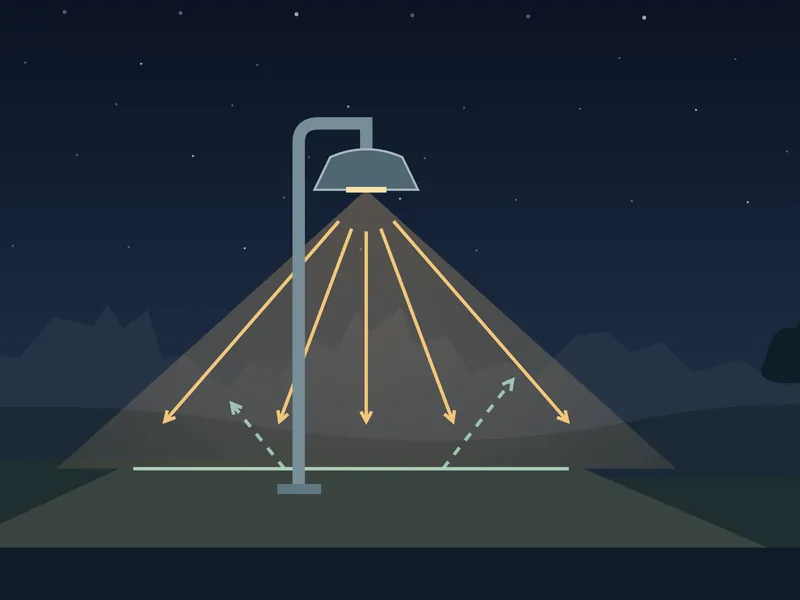
Read the sky, meet the animals of the night and keep the dark dark.
The early park in photographs, the places they show today, and how the change could be measured.