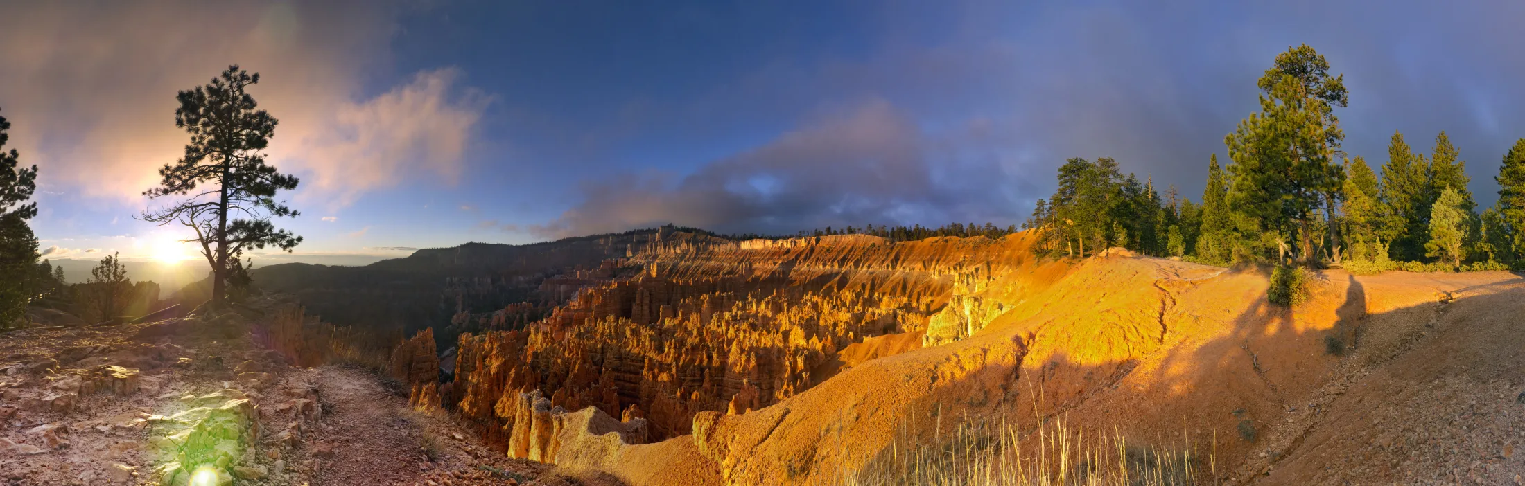
Check your approach, choose a viewpoint, then leave room for a short walk. Start with Sunrise and Sunset; decide on a descent after checking the weather and trail notices.
Give the amphitheater a day. Add the southern overlooks, a longer walk or a night under the stars when conditions allow. Use seasonal guidance now; check the forecast near your visit.
SR-63 connects the park entrance with SR-12 at Bryce Canyon City. From US-89, SR-12 approaches through Red Canyon. From Tropic and Cannonville, follow SR-12 toward the Bryce junction. Check reports for every highway in your approach, including higher-elevation crossings.
Start at the visitor center for orientation and the latest trail information. The amphitheater and southern scenic drive are different parts of a visit; do not treat every overlook as a stop on the shuttle.
NPS recommends the seasonal shuttle for the amphitheater. Park at the Bryce Canyon City shuttle station or the additional parking area near the visitor center. Admission is still required.
The published 2026 autumn schedule runs September 21–October 18, 8 a.m.–6 p.m. Last departures depend on the stop; check them before beginning a walk.
Use the existing itinerary builder to choose a time budget and stops, then save or print your plan. Keep a map available before losing connectivity, and recheck current restrictions before leaving.
Dark skies. Use only the light you need, directed at the task. A dim red light can help preserve night vision; keep enough light for safe movement. NPS: Where to Stargaze
Litter. Carry food scraps and packaging out to an appropriate waste container. Bring a small bag to make this easy. NPS: Leave No Trace Seven Principles
Fragile surfaces. Photograph from designated access. Bryce’s crumbly rock and slopes are not platforms to climb for a better angle. NPS: Your Safety
Other visitors. Keep voices low and speakers off. Leave room for people to pass within established access. NPS: Hiking
Leave what you find. Leave rocks, plants and other natural objects where you find them. Keep a photograph, sketch or observation instead. NPS: Leave What You Find
Changing plans. Respect posted closures. Check official current conditions and ask park staff when information is unclear. NPS: Current Conditions
Start with the road connections, then compare lodging and meals. Bryce Canyon City, Tropic and Cannonville are separate communities; none is interchangeable with a location inside the national park.
Bryce Canyon City
On the SR-63 park approach, north of the entrance. The seasonal park shuttle has a boarding station here and serves the Bryce Amphitheater area. Check its actual dates, stops and final return before relying on it.
A valley town along SR-12 east of the park approach. Use the road map to plan the connection to SR-63. Being near a canyon on a map does not establish a direct vehicle entrance or a permitted walking route.
Farther along SR-12 beyond Tropic. Treat lodging and any on-site dining as separate arrangements to confirm. The NPS shuttle map does not establish a shuttle connection from Cannonville.