Drag to explore. Arrow keys make fine steps; Home and End reach the ends.
CloserWider
A north-to-south reading sequence, not a driving itinerary. NPS recommends southern-drive stops on the northbound return. Use the driving map for travel planning.
The long view
One plateau. Many open bowls.
The road follows the high ground. The viewpoints look out from its edge. The camera travels between those views, but its flight is an editorial path—not a road, trail or flight plan.
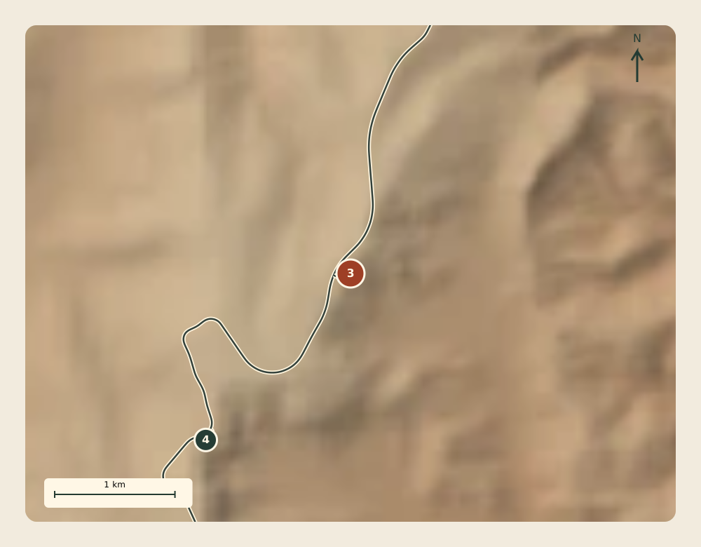
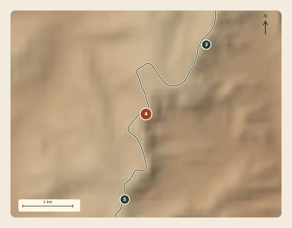
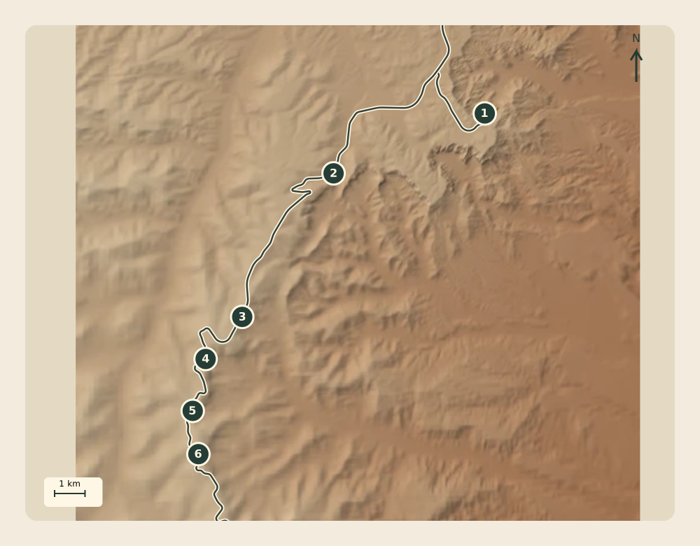
The solid lines retain NPS road geometry. Numbered points retain separate NPS overlook records. No invented line bridges the space between a road and an overlook.
A deliberate end to this view
This sequence stops at Ponderosa Canyon. Black Birch, Rainbow and Yovimpa remain beyond it; Rainbow is outside the existing terrain tile. Explore the complete road in the driving map.
Derived North-up overview · numbered overlooks match the six chapters. Road records are not a connected navigation graph.
A quieter way through
The six-chapter field reader
Every chapter, without motion. Terrain and map plates are reusable assets.
01
Bryce Point
Spur from the main road near mile 3
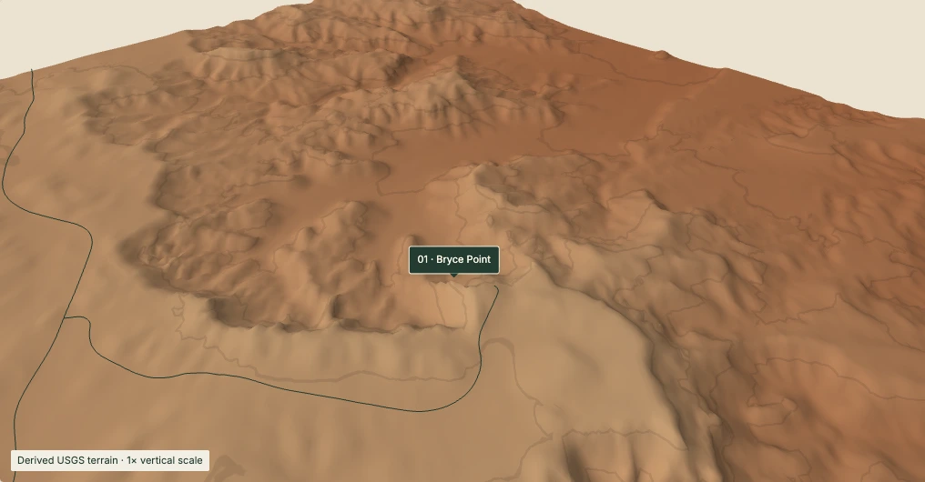
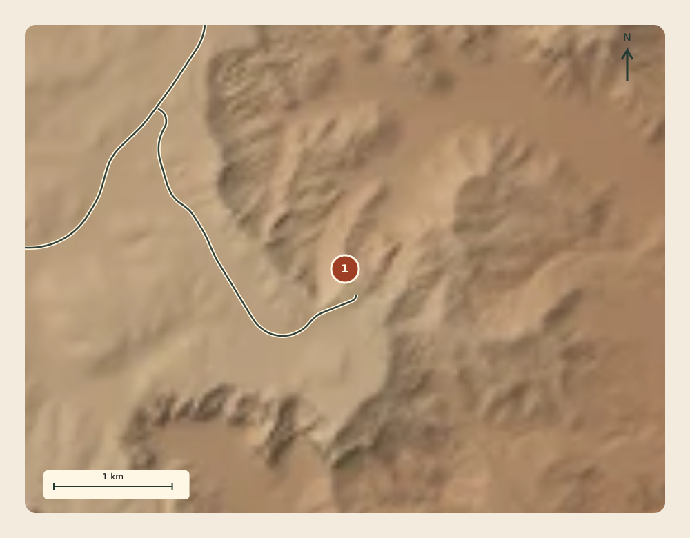
From the south, Bryce Point looks north across the Bryce Amphitheater. Follow the broad bowl and its branching slopes as they cut into the plateau.
Look for: The contrast between the flatter plateau top and the dissected slopes below the rim.
The 40 m display grid merges individual hoodoos. This is a regional landform view, not an eye-level panorama. Effective terrain sampling here: approximately 40 m.
Overlook reference point; not a parking entrance or a driving destination coordinate. NPS road/point accuracy is not established. Mileposts are source references, not distances from your location.
02
Swamp Canyon
NPS main-road reference · mile 6
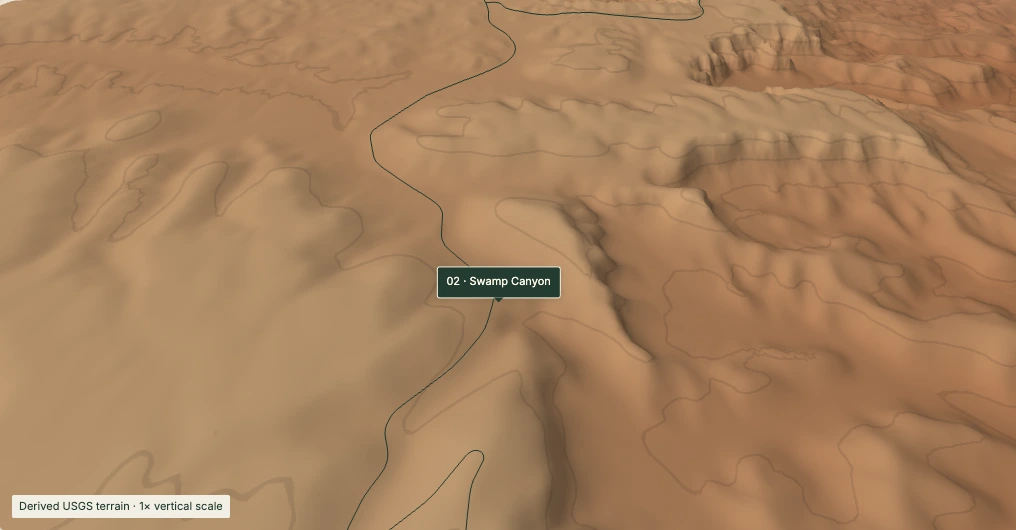
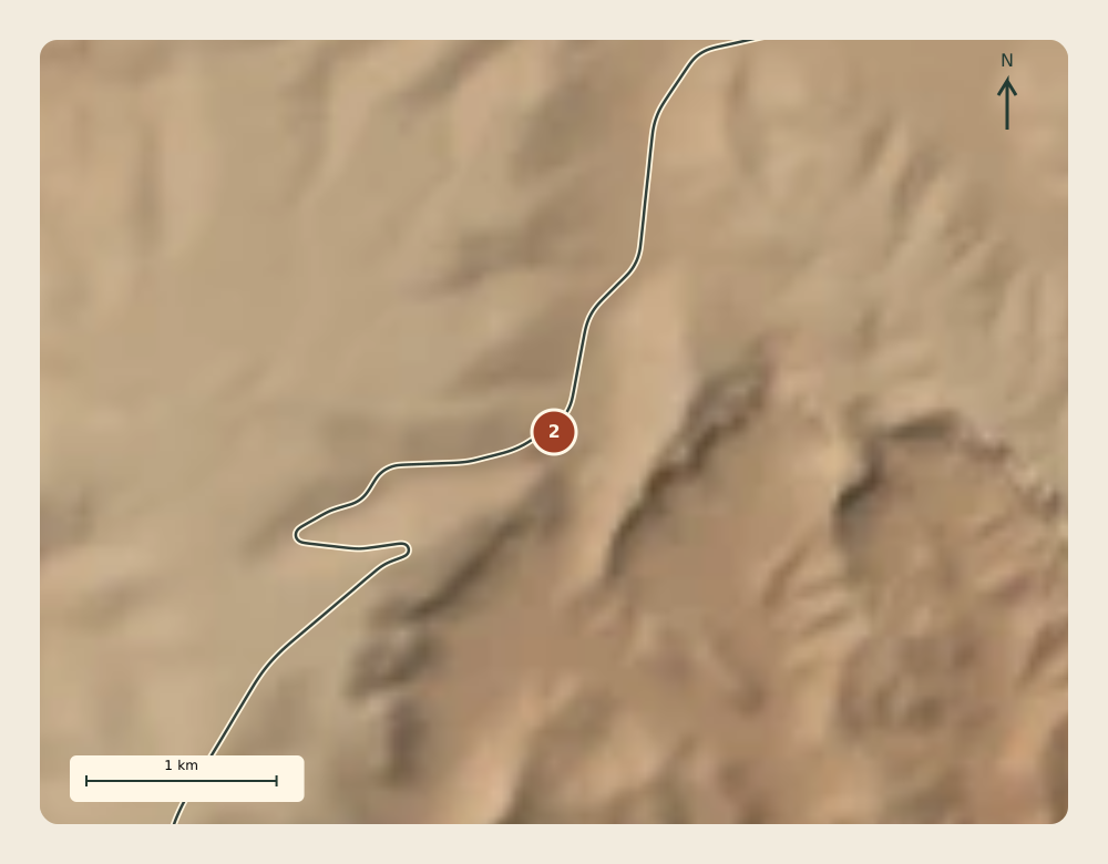
Swamp Canyon marks a transition from the hoodoo-filled amphitheater to the cliffs and buttes of the southern drive. Small creeks and a spring support a wetter pocket below the rim.
Look for: Separate drainage hollows and the more widely spaced ridges between them.
Water and vegetation are described from NPS guidance; neither is mapped by this elevation surface. Effective terrain sampling here: approximately 49.9 m.
Overlook reference point; not a parking entrance or a driving destination coordinate. NPS road/point accuracy is not established. Mileposts are source references, not distances from your location.
03
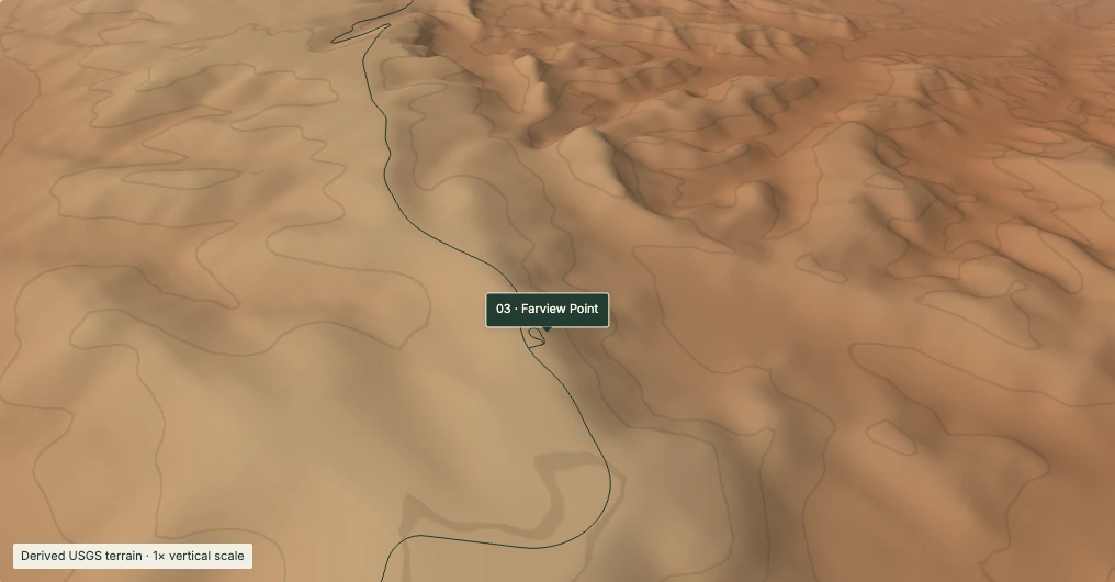
Farview Point
NPS main-road reference · mile 10.25
The outlook at Farview connects the edge of the Paunsagunt Plateau with the much wider country to the east. NPS describes views across the Paria Valley and the upper Grand Staircase.
Look for: The plateau edge separating a high surface from the deeply cut ground beyond.
Distant mountains are outside this terrain crop. Piracy Point is a separate walking destination, not another driving stop drawn here. Effective terrain sampling here: approximately 95.9 m.
Overlook reference point; not a parking entrance or a driving destination coordinate. NPS road/point accuracy is not established. Mileposts are source references, not distances from your location.
04
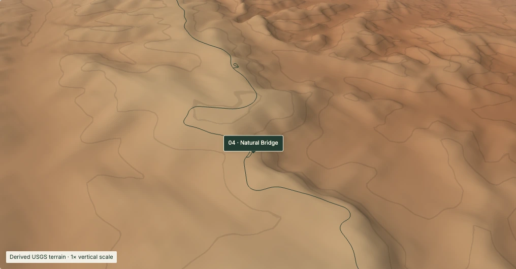
Natural Bridge
NPS main-road reference · mile 12.25
Despite its name, Natural Bridge is a natural arch. Weathering enlarges cracks into a window while more resistant rock protects its roof.
Look for: The small amphitheater containing the feature and the drainage that falls away from the rim.
A height field cannot represent an arch opening or an overhang. The marker identifies the NPS overlook record; it does not locate a reconstructed arch. Effective terrain sampling here: approximately 115.6 m.
Overlook reference point; not a parking entrance or a driving destination coordinate. NPS road/point accuracy is not established. Mileposts are source references, not distances from your location.
05
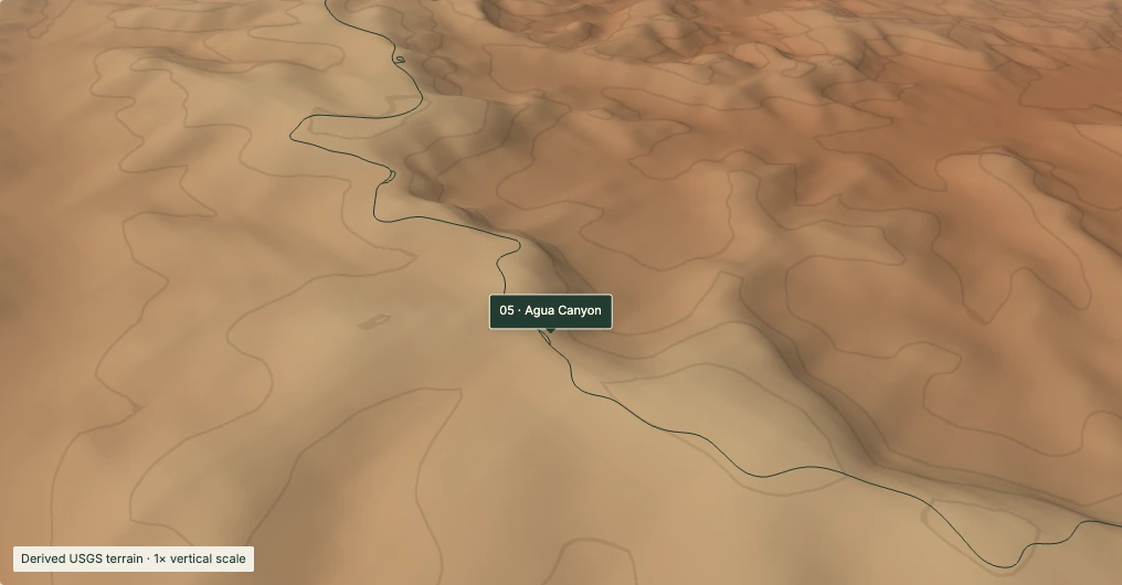
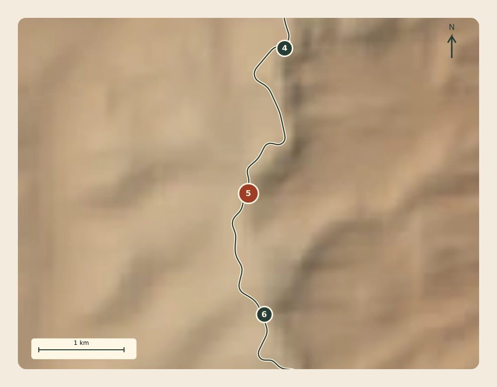
Agua Canyon
NPS main-road reference · mile 13.5
NPS identifies two prominent hoodoos at Agua Canyon: the Hunter and the Rabbit. They stand within another bowl eroded into the plateau’s eastern edge.
Look for: How the rim breaks into separate amphitheaters instead of forming one continuous canyon wall.
The named towers are below this mesh’s resolving power. The relief shows their landscape setting, without invented tower geometry. Effective terrain sampling here: approximately 141.7 m.
Overlook reference point; not a parking entrance or a driving destination coordinate. NPS road/point accuracy is not established. Mileposts are source references, not distances from your location.
06
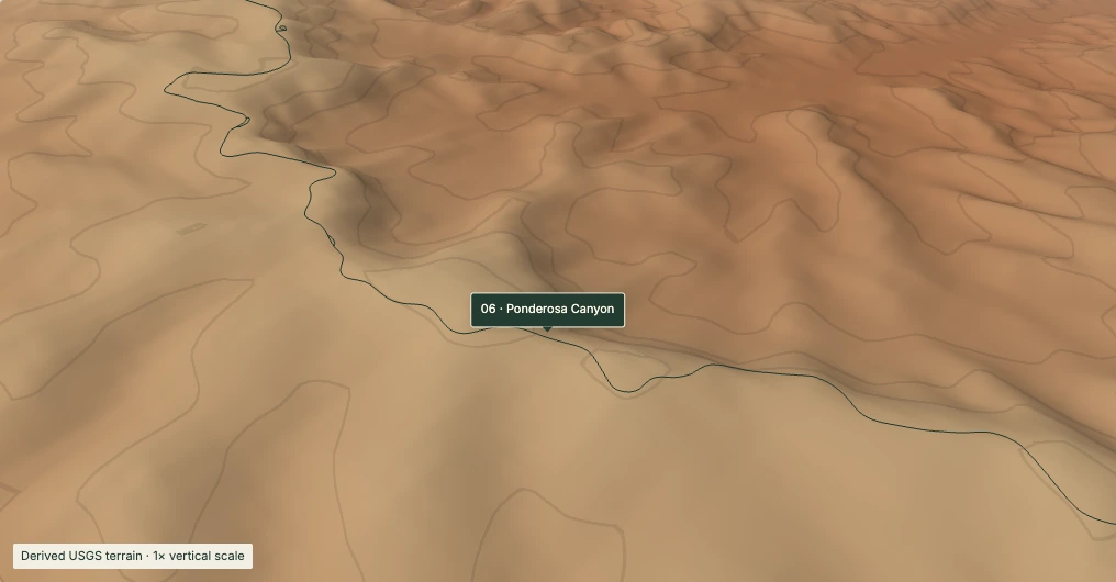
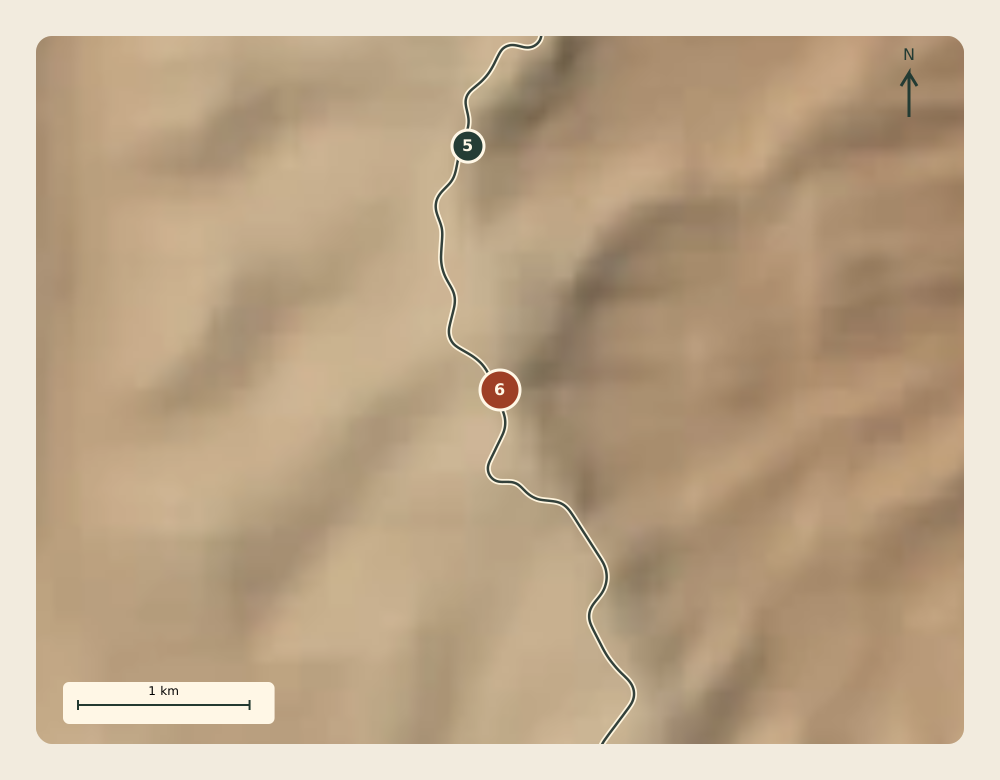
Ponderosa Canyon
NPS main-road reference · mile 14.75
The canyon takes its name from ponderosa pines below the viewpoint. NPS describes mixed conifer forest on the higher rim, a reminder that elevation helps shape forest communities.
Look for: The descent from the plateau top into lower, branching valleys.
Southern terrain is the coarsest in this sequence. Colors encode elevation and relief, not forest type. This chapter ends before Black Birch, Rainbow and Yovimpa. Effective terrain sampling here: approximately 163.5 m.
Overlook reference point; not a parking entrance or a driving destination coordinate. NPS road/point accuracy is not established. Mileposts are source references, not distances from your location.
Sources & scale
What this landscape can tell you.
Derived landform
USGS elevation, resampled from the existing BCC terrain mesh onto a 40 m grid. Original source nodes become coarser southward: about 50–164 m at the southern chapter locations. Sampling more finely does not recover detail.
Illustrative camera & light
No vertical exaggeration. Color encodes elevation and shading; it is not aerial photography, vegetation or a geological map. Faint contours mark 100 m elevation intervals. The camera and its 90-second optional presentation are editorial.
Places, not arrivals
NPS public centerlines and overlook records were checked on October 2, 2026. Their accuracy and collection dates are often unknown. Pins are not parking entrances. This page makes no current opening, access, driving-time or road-safety claim.

 Derived