Maps
Explore Bryce’s trails and overlooks in their landscape.

Weather unavailable
Observed at Bryce Canyon Airport. Conditions at the rim can differ.
NWS · KBCE airport · time unavailable
Forecast unavailable. Use the NWS source below.
Forecast issue time unavailable
Park updates unavailable
Check NPS for the latest closures and conditions.
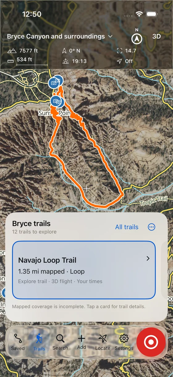
Explore Bryce’s trails and overlooks in their landscape.
See the terrain, distances, and elevation changes before you go.
Understand the hoodoos, rock layers, and forces shaping Bryce.
Availability
Core use is intended to be free. The release date, supported devices, and minimum operating system are still to be announced.
Explore Bryce on the website →Offline use is still being tested. Bring an independent map; this development app should not be your only navigation aid.
The development version includes dated trail and place information. Mapped coverage is partial, and the app does not report live trail closures. Check current park alerts and posted signs before setting out.
The development design keeps trips, waypoints, photos, and recordings in a local library, with no required account or analytics. Location and recording are optional and require permission.
Online map providers receive network requests. Final app privacy details will accompany the release. Website privacy is described separately.
More visitor reading, richer trip planning, and saving public places are planned. Digital park signs are also planned; no verified panels are available yet. There is no official reward integration or NPS partnership.
These genuine Simulator captures are from September 29–30, 2026. They show the earlier map and guide, before the new visitor layout, public name, and app design.
Map imagery: USDA NAIP. Elevation: USGS 3DEP. Trail and place data © OpenStreetMap contributors. Sources & credits.
Created by Chase Kaczmarek for Bryce Canyon Conservancy.