
Sunset Point · Navajo Loop
Bryce, at eye level.
Three places along the descent.
Look closely before walking farther.
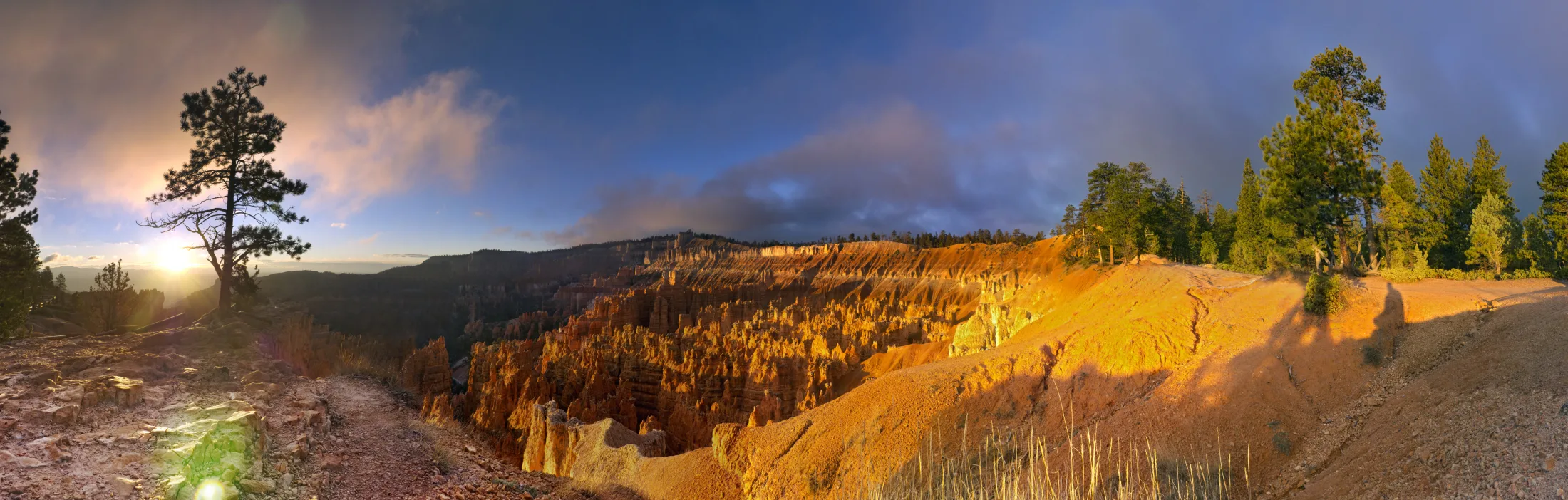
A closer look at Bryce
Stand at Sunset Point.
The next view uses Google’s photographed 3D landscape, with the camera close to the trail.
The archival photograph is available while the 3D view is disconnected.
Archival photograph · Brian B. Roanhorse / NPS, 2015
3D landscape not connected
TEST GEOMETRY · Not Google imagery or a Bryce reconstruction

Stand at the trailhead and look out over the amphitheater.
About the landscapeThe landscape comes first
See the rock.
Then take the next step.
This preview uses CesiumJS and Google Photorealistic 3D Tiles at Sunset Point, a switchback below it, and the view of Thor’s Hammer. Walking-height quality is still under review.
When connected, Google’s 3D geometry and photographed surfaces stream directly to the viewer. The camera checks for supporting ground and can move a short distance from the selected point to find a usable position. If none is available, the viewer stays above the landscape. These checks are not a survey of the path. Details can be missing or incomplete, especially close to cliffs and overhangs.
The walking area follows independently sourced © OpenStreetMap contributors, ODbL trail lines, with a small viewing area at Sunset Point. It does not report present trail conditions. The photograph shown before connection is an archival NPS image, not the interactive scene. Map data credits remain visible during the 3D view.
NPS: Navajo Loop · Photograph and credits · CesiumJS license