
Places at Bryce
23 places, from Mossy Cave in the north to Riggs Spring in the south.
 Measured
Explore them together in the Bryce 3D Atlas Find a place on the map
Where they are
North is up; numbers run north to south. The box on the park map is enlarged beside it. Points are NPS mapped locations of viewpoints and trailheads, or the center of a place’s 3D view; gray lines are roads. A guide, not navigation.
 DerivedThe park, Mossy Cave to Riggs Spring: NPS road records and overlook points.DerivedThe Bryce Amphitheater, enlarged.
- Mossy Cave and Water Canyon
- Fairyland Point
- Boat Mesa
- China Wall
- Tower Bridge
- Sinking Ship
- Bristlecone Point, the northern ridge
- Sunrise Point and Queen’s Garden
- Sunset Point and Thor’s Hammer
- Wall Street and the Navajo Loop
- Silent City
- Inspiration Point
- Bryce Point
- Paria View
- Hat Shop
- Swamp Canyon
- Farview and Piracy Points
- Natural Bridge
- Agua Canyon
- Ponderosa Canyon
- Black Birch Canyon
- Rainbow and Yovimpa Points and the Bristlecone Loop
- Riggs Spring Loop
Northern Bryce
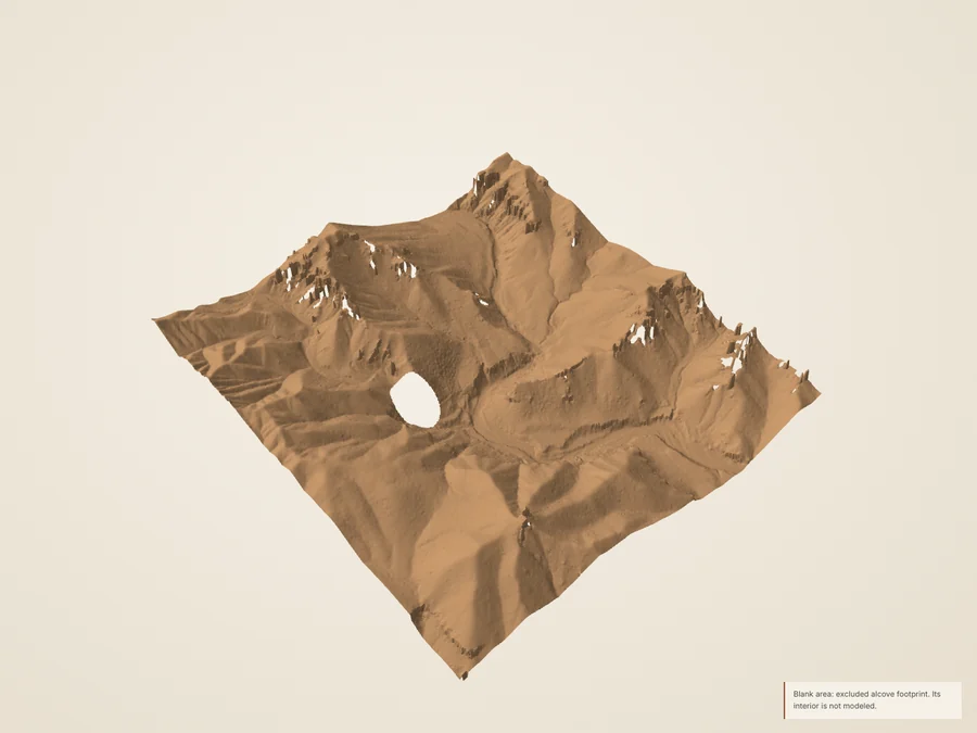 Mossy Cave and Water CanyonA waterfall, a mossy alcove and an 1892 ditch
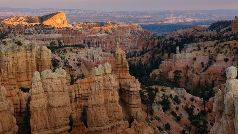 Fairyland PointThe northernmost viewpoint on the rim
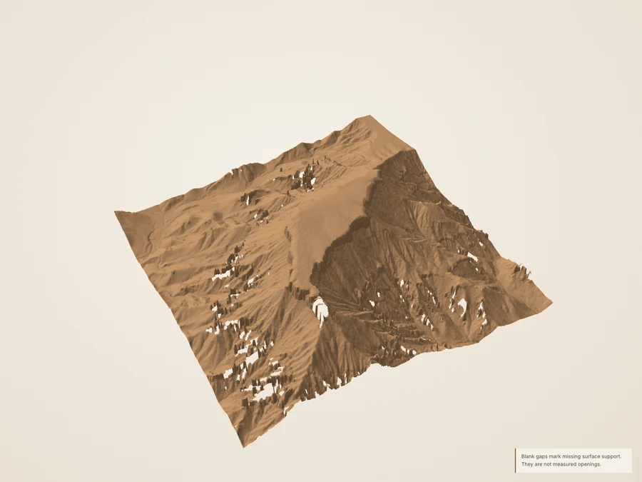 Boat MesaA broad, capped summit south of Fairyland
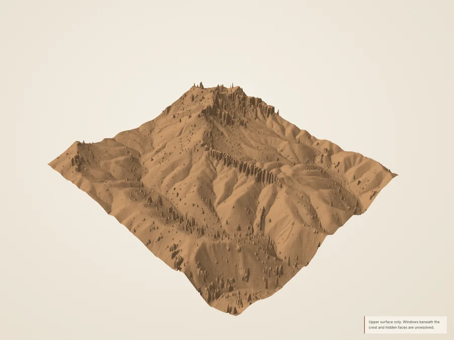 China WallA long wall of rock breaking into towers
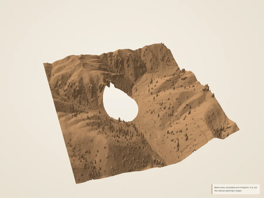 Tower BridgeAn opening in the rock off the Fairyland Loop
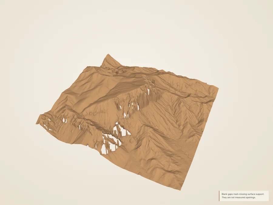 Sinking ShipA slanting summit, tilted by faulting
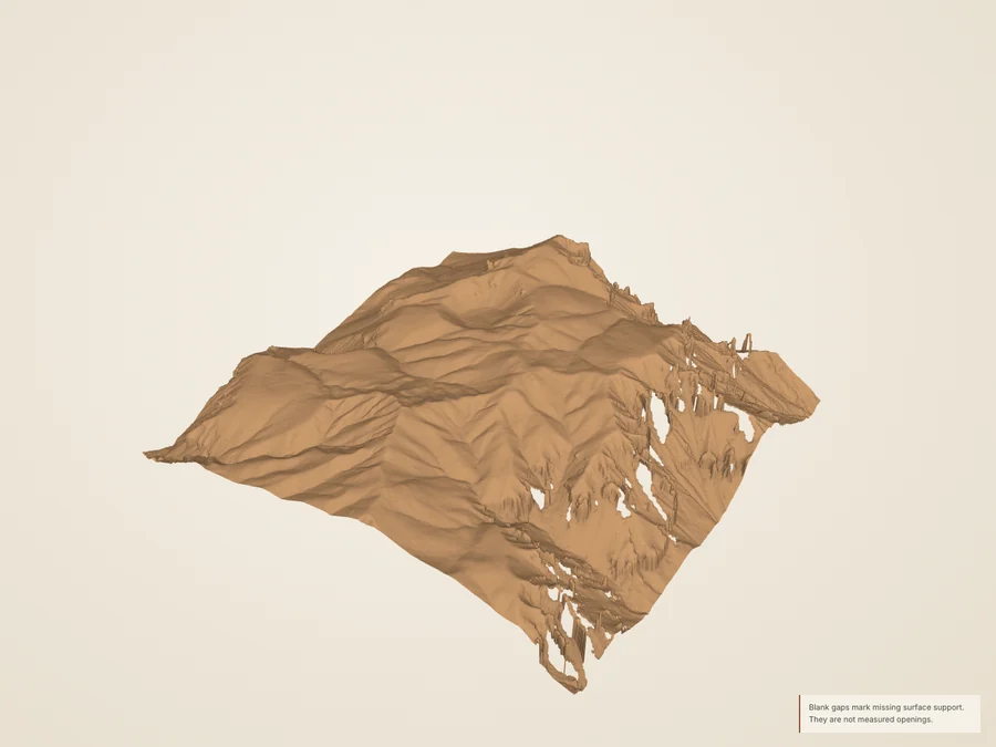 Bristlecone Point, the northern ridgeA separate ridge east of the amphitheater
The Bryce Amphitheater
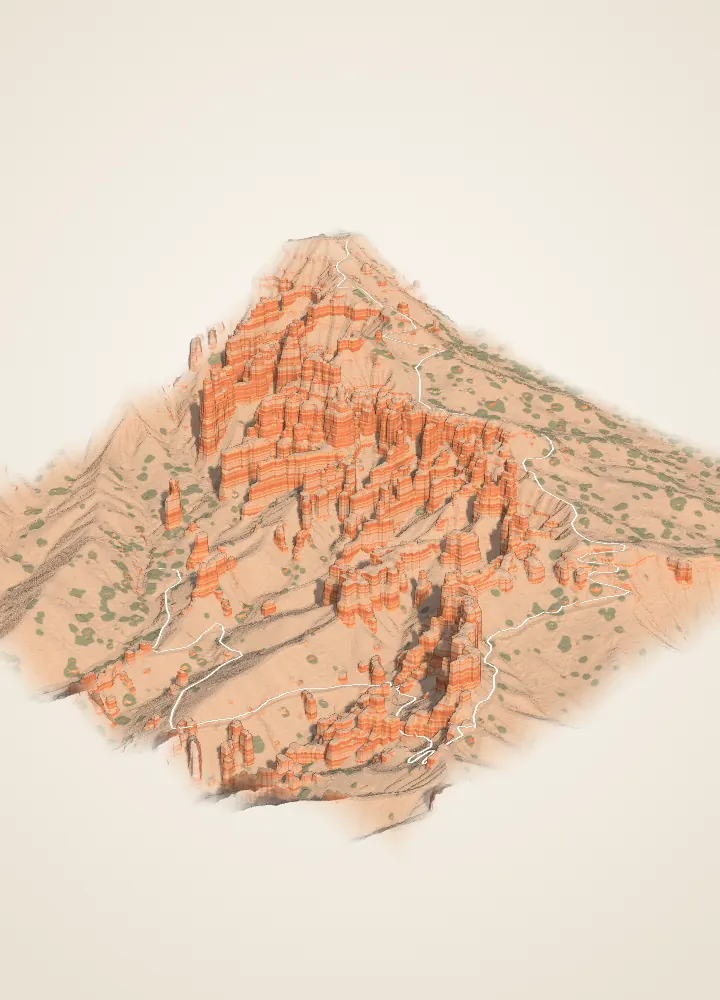 Sunrise Point and Queen’s GardenEvery stage of a hoodoo in one view
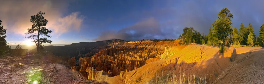 Sunset Point and Thor’s HammerAbove the park’s most famous hoodoo
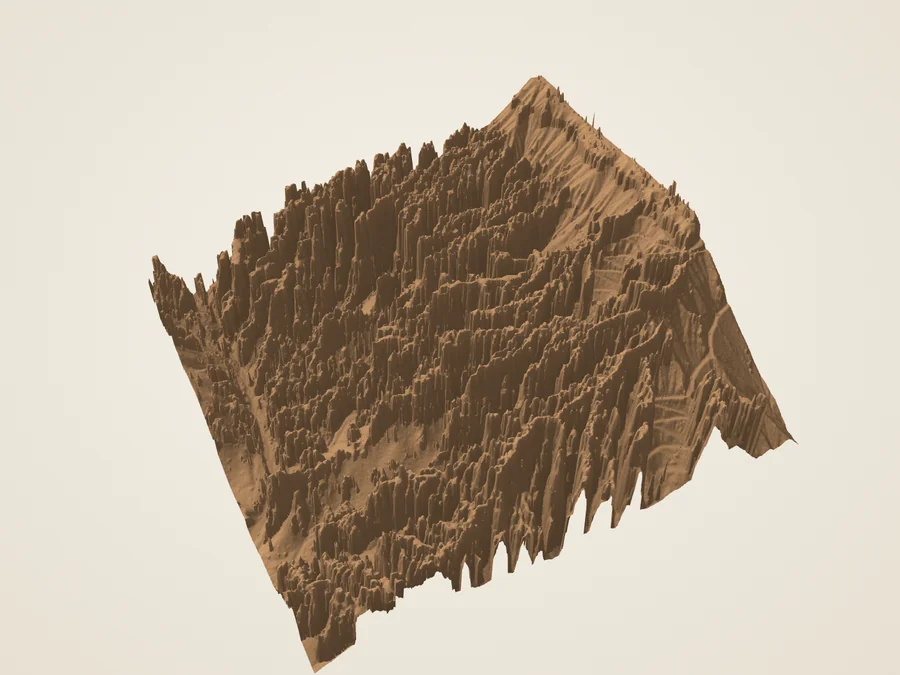 Wall Street and the Navajo LoopA narrow passage between limestone walls
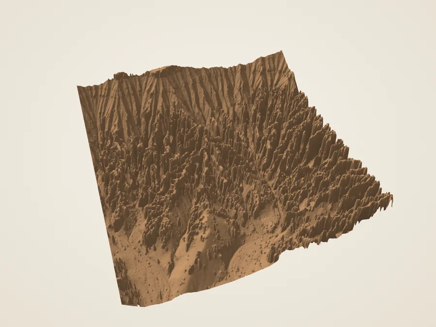 Silent CityRanks of fins and spires below the rim
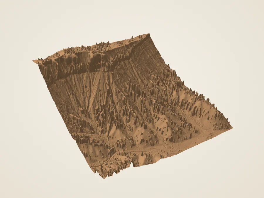 Inspiration PointBoth members of the Claron, one above the other
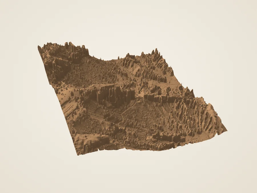 Bryce PointThe whole amphitheater, looking north
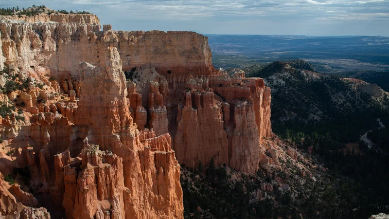 Paria ViewAn amphitheater draining toward the Paria
South along the plateau
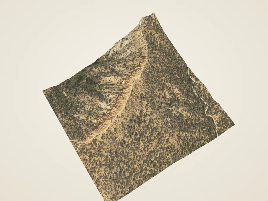 Hat ShopNarrow pinnacles under boulder caps
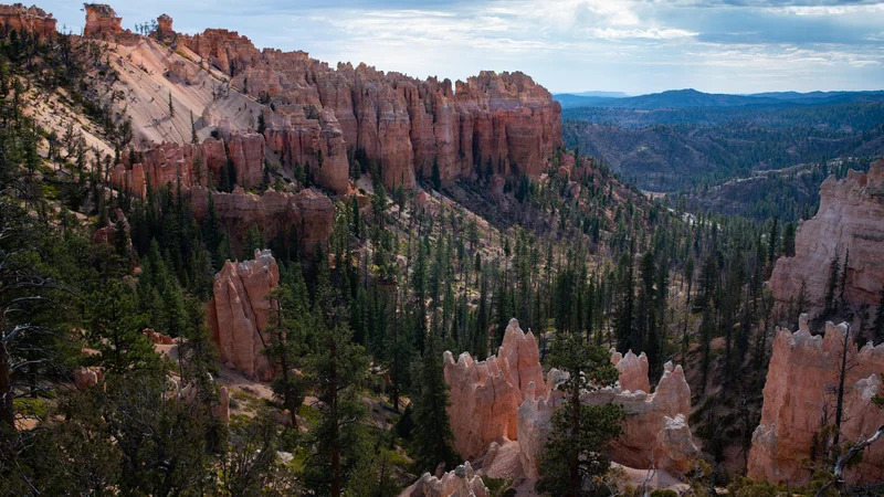 Swamp CanyonWhere the hoodoos give way to forest
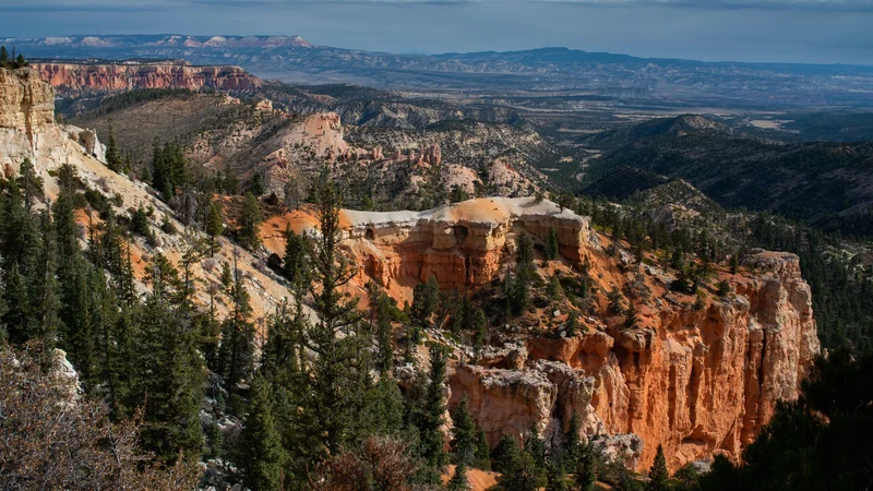 Farview and Piracy PointsTwo overlooks on one ridge
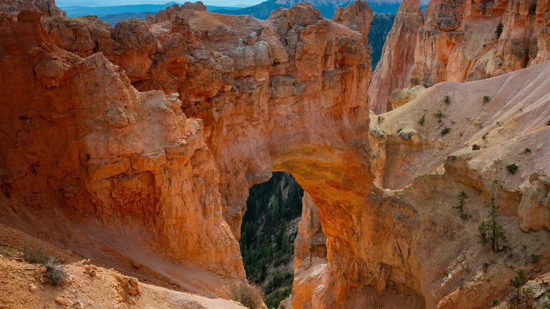 Natural BridgeAn arch, despite its name
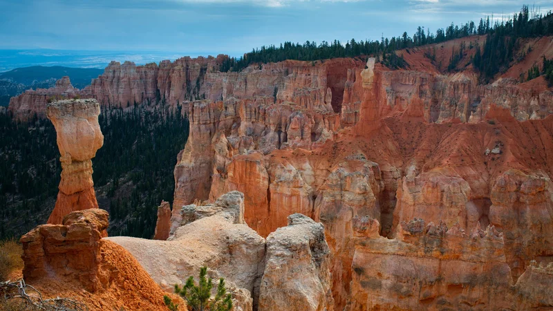 Agua CanyonTwo named hoodoos, the Hunter and the Rabbit
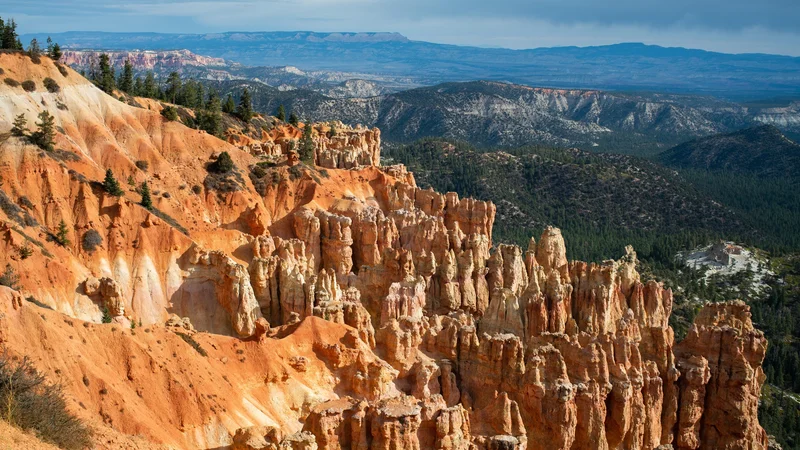 Ponderosa CanyonNamed for the pines below the overlook
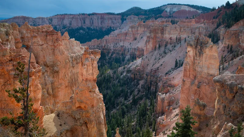 Black Birch CanyonIts name may come from a tree not found here
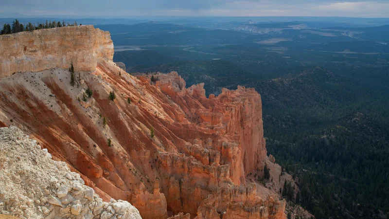 Rainbow and Yovimpa Points and the Bristlecone LoopThe highest viewpoints, at the end of the road
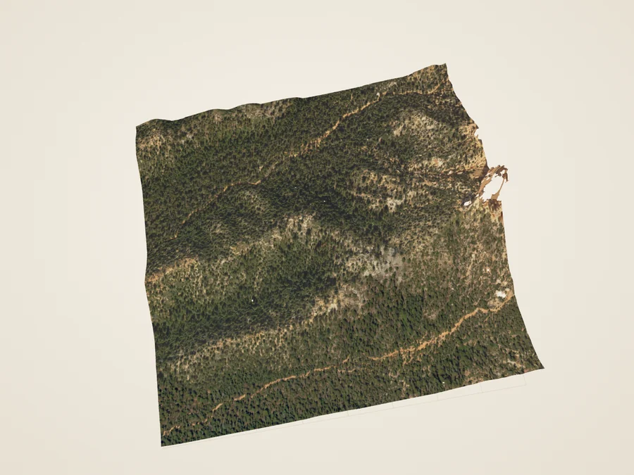 Riggs Spring LoopA backcountry loop below the high rim
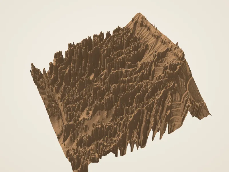
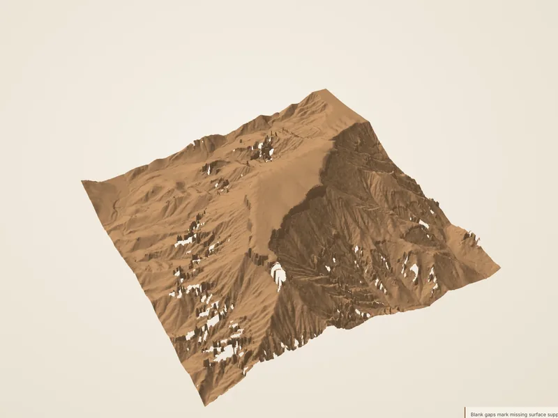
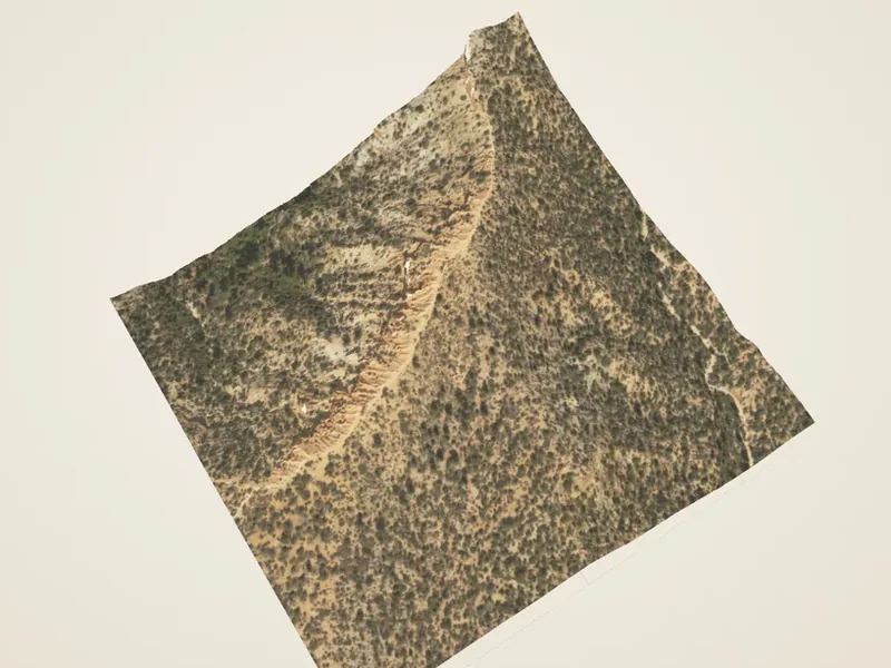
Bryce in 3D
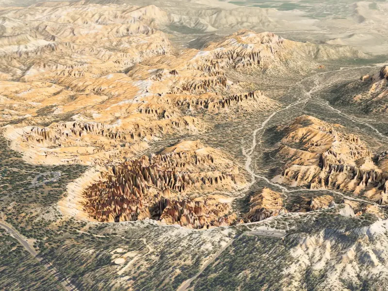
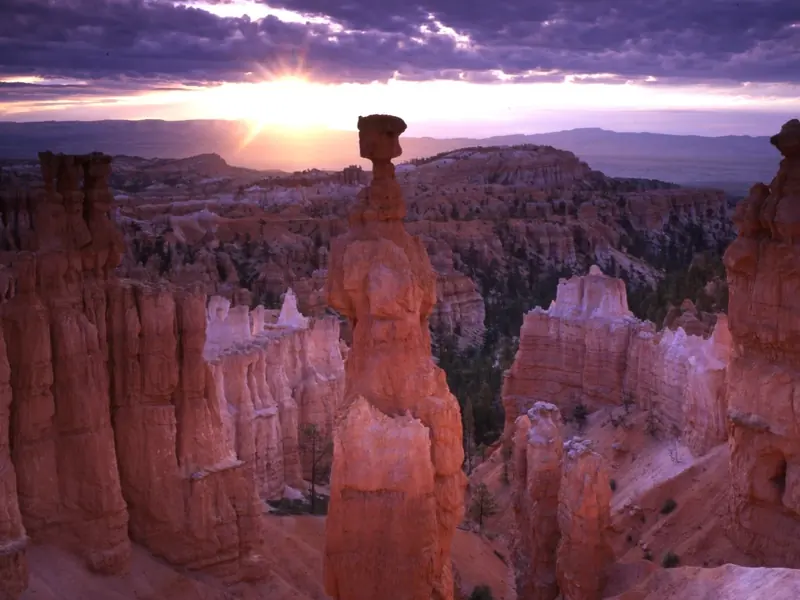
Photographs: NPS (Peter Densmore, Brian B. Roanhorse).
Compare places
Tools that read several places at once. Each opens only when you ask for it.
A day along the rim
Overlooks from north to south, then the drive to the end of the road.