HYG 4.1 supplies a local, curated set of 2,865 stars through visual magnitude 5.5. The downloadable catalogue retains J2000 coordinates; the explorer corrects their precession to the selected date. Point sizes show relative brightness, not physical size. Finding lines are original diagrams between catalogue positions.
The fixed reference is Sunset Point: 37.622568° N, 112.165988° W, from the NPS public point record. All inputs and displays use America/Denver; the UTC instant is always shown. Supported local dates are 2020–2035, under the browser’s current time-zone rules. Spring clock gaps are rejected; repeated autumn hours require a choice.
Broad teaching tolerances are 0.1° for stars and the Sun, 0.25° for the Moon, and 2 percentage points for the illuminated fraction. These are not survey or telescope-pointing specifications. Sun and Moon positions were checked against 678 NASA/JPL Horizons reference rows spanning the supported years; sampled maxima and assumptions are in the accuracy record.
What is included—and what remains unknown
Altitude is measured above a level geometric horizon. Azimuth runs from true north through east: north 0°, east 90°, south 180°, west 270°. The chart is an azimuthal equidistant projection looking upward; distortion increases toward its rim.
The Sun and Moon use an original implementation of published low-precision orbital formulas. The Moon includes the principal perturbations and parallax for an observer on a WGS84 reference surface at the published coordinates. Zero ellipsoid height is a simplifying calculation assumption, not Bryce’s actual elevation. That approximation is much smaller than the stated teaching tolerance.
The star model omits proper motion, nutation, aberration and stellar parallax. UTC approximates UT1, and the simplified solar/lunar model does not distinguish TT from UT. These approximations, plus reference comparisons, are documented in the accuracy record. No atmospheric refraction, terrain skyline, weather, sky-brightness model, planets, satellites, meteors, rise/set events or eclipse predictions are provided.
The Galactic plane is a calculated great circle using the ESA-documented coordinate transform. Its surrounding glow and width are illustrative. The Moon’s illuminated fraction is geocentric; direction includes observer parallax. The symbols have exaggerated sizes.
Primary references & reuse rights
Sources checked October 2, 2026. Original teaching copy and chart code; no agency photograph or third-party star-chart artwork is reproduced. The HYG subset and catalogue-derived charts are adaptations under CC BY-SA 4.0. Credit David Nash / Astronexus and retain that license when reusing them. Catalogue license · Reuse notice · Complete source ledger.
- HYG catalogue. David Nash · Version 4.1; repository pinned by commit. Star positions at epoch/equinox J2000.0; Apparent visual magnitude; Catalogue identities and names; Maximum omitted proper motion in the subset.
- NPS location. National Park Service · Live public record retrieved 2026-10-02; no source revision date asserted. Fixed published location: 37.622568244798885 N, -112.1659876923019 E.
- Orbital formulas. Paul Schlyter · Undated online reference; describes formulas developed in 1979 from van Flandern and Pulkkinen. Low-precision solar and lunar elements; Lunar longitude, latitude and distance perturbations; Coordinate transformations and topocentric distinction.
- Meeus, 1998. Jean Meeus · 1998. Mean sidereal time equation 12.4; IAU 1976 J2000-to-date precession.
- ERFA reference. ERFA and IAU SOFA contributors · Retrieved 2026-10-02; relevant numerical test values retained. Independent pmat76 matrix case.
- NASA/JPL Horizons. JPL Solar System Dynamics Group · Reference queries 2026-10-02; DE441 ephemeris. Independent Sun and Moon azimuth/altitude; Independent lunar illuminated fraction; Apparent sidereal time comparison; Airless topocentric reference conventions.
- ESA coordinate frame. Alexey Butkevich and Lennart Lindegren · Gaia DR3 documentation release 1.3. ICRS-to-Galactic rotation defining the Galactic equator.
- NPS night skies. Bryce Canyon National Park · Updated 2026-07-11. Bryce dark-sky educational context; Milky Way under clear, dark, new-Moon conditions; Light stewardship.
- NPS stargazing. Bryce Canyon National Park · Updated 2024-10-10. Use official calendar or visitor center for actual programs; Sunset Point is among the interpretive stargazing locations.
- NASA: Polaris. Preston Dyches · Published 2021-07-28; updated 2024-11-06. Polaris near the north celestial pole; Daily apparent stellar rotation; True north versus magnetic north; Big Dipper finding aid.
- NASA: asterisms. NASA Skywatching · Updated 2024-11-06. Summer Triangle members; Winter Triangle members; Asterisms are recognizable patterns.
- NASA: finding Arcturus. NASA Skywatching · 2021-09. Following the Big Dipper handle's arc to Arcturus.
- NASA: changing seasons. NASA / JPL-Caltech · Undated page retrieved 2026-10-02. Different evening constellations as Earth orbits the Sun.
- NASA: our galaxy. NASA Skywatching · Page retrieved 2026-10-02. Milky Way band as our view through the disk from within it.
- NASA: Cassiopeia. Hubble science team · 2018. Cassiopeia W high on autumn and winter evenings at mid-northern latitudes.
- NASA: lunar phases. NASA lunar science education · Page retrieved 2026-10-02. Reflected sunlight; Lunar phase geometry; Phase and time above the horizon differ.
- NOAA: twilight. National Weather Service, Sioux Falls · Undated page retrieved 2026-10-02. Civil, nautical and astronomical twilight boundaries at solar center altitudes -6, -12 and -18 degrees.
- NPS: dark adaptation. Zion National Park · Page retrieved 2026-10-02. Roughly 20–30 minutes for dark adaptation after white light; Restrained red lighting.
- NASA skywatching FAQ. NASA Skywatching · Page retrieved 2026-10-02. Celestial directions and observing context; Constellations versus asterisms; Sirius as brightest night-sky star; Landscape obstruction.
- NASA: Deneb. Kat Troche; original Night Sky Notes material · Displayed 2026-08-15. Deneb belongs to Cygnus and the Summer Triangle.
- NASA: Altair. Kat Troche; original Dave Prosper article · Displayed 2026-07-15; article also notes original August 2020 and update July 2025. Altair belongs to Aquila and the Summer Triangle.
No location permission, accounts or tracking. Runtime assets are local. Browser and numerical checks are not field observations, physical-device tests, assistive-user review or independent astronomer acceptance.

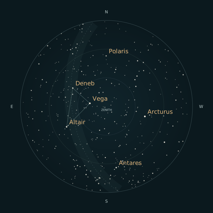
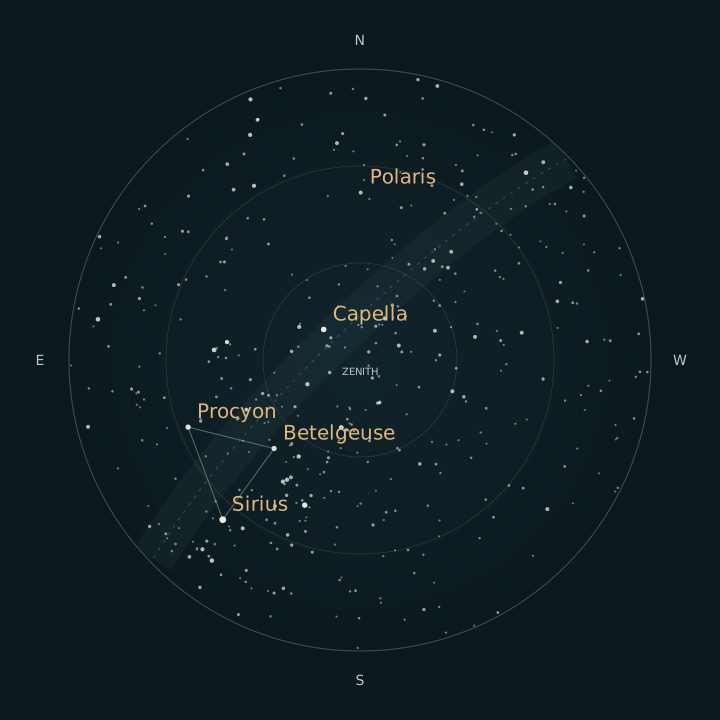
 Derived

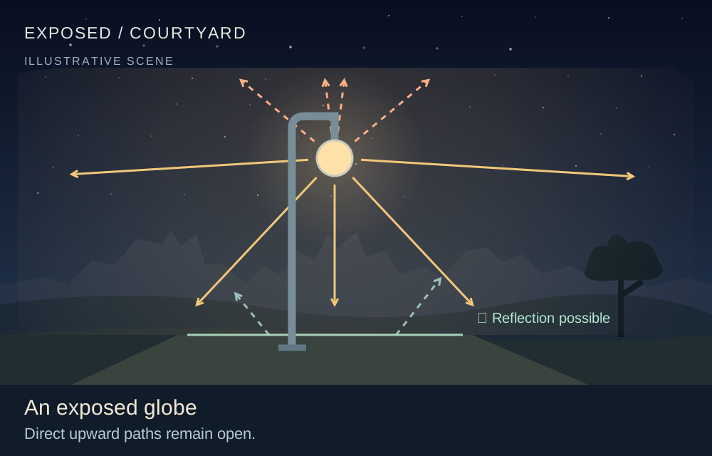
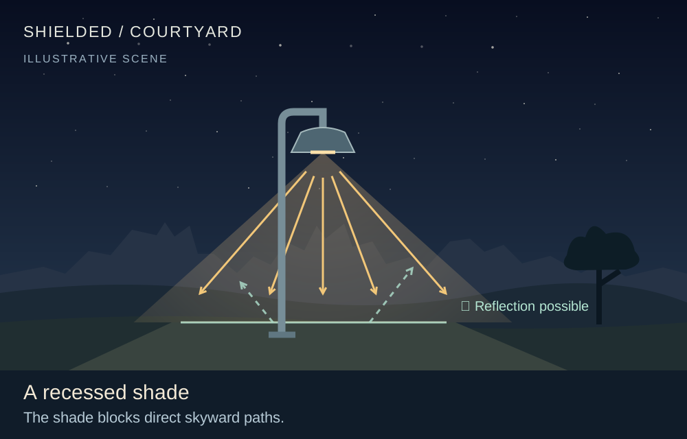
 Illustration