
South along the plateau
Natural Bridge
Despite its name, an arch: an opening that frost, rain and gravity made in a wall of rock, beside the southern drive.
Use the place description to choose what to study, then check the approach, walking effort and current restrictions before leaving.
Conditions & official access sources · Compare walking distance and climb
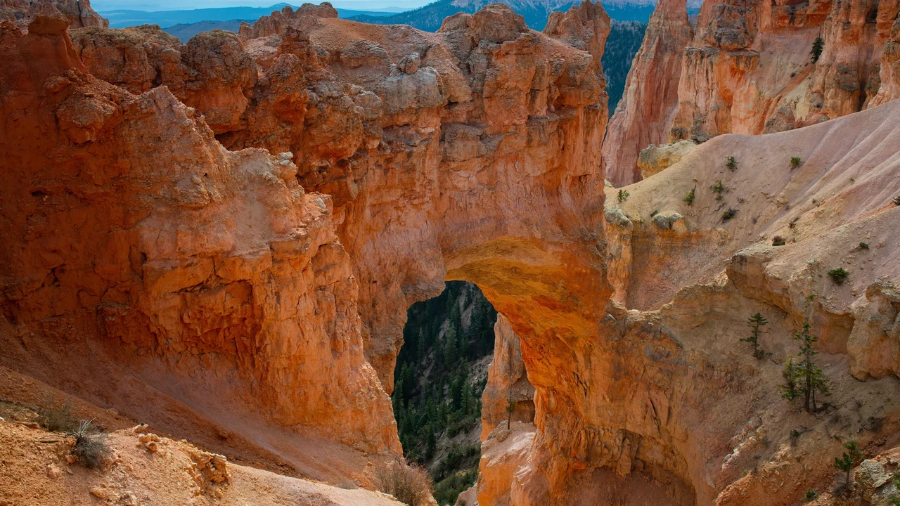
What you’re looking at
No stream ever ran through Natural Bridge. NPS describes it as an arch, or window, opened in a wall of rock by weathering: water seeps into cracks and freezes, rain dissolves the rock, and gravity pulls loose the weakened pieces.1
NPS gives the span as 85 feet across. Its roof is protected by more resistant rock while the opening below enlarges. The park says it may last hundreds or thousands of years, or could collapse tomorrow; a window that grows too large to hold up its roof falls, and a leg left standing can become a hoodoo.1,2
The overlook is about 12¼ miles along the main road by the NPS milepost. The viewpoint is not a route to the arch itself.1,2,3
Turn it in 3D
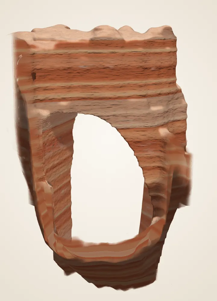
 DerivedThe Natural Bridge model on the homepage: 2018 USGS lidar, with the opening traced from a USGS photograph.
The homepage model can be turned, cut and compared with the laser returns. It loads only when you open it.
Look closely
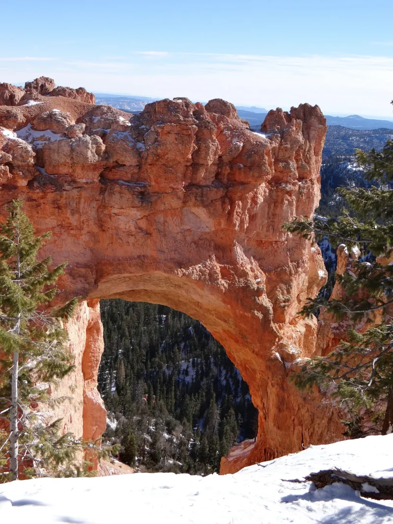
- Rock above the opening. Follow the visible lower edge of the span. A photograph records that edge from this one direction.
- Background through the window. Trees and ground are visible beyond the opening. Their image position is not a surveyed distance behind the arch.
- An archival moment. Snow is visible in this image. It establishes no claim about today’s snow, access or conditions.
Walks from here
Add it to a visit plan Find it on the park map Read it along the scenic drive
Living things here
Habitats: Rocky breaks & rim, Mixed-conifer forest. The arch stands in the exposed breaks below the rim; the southern drive runs through the higher southern forest that NPS describes, with white fir, Douglas-fir, pines and pockets of aspen.7,8,9,10
Living Bryce entries for these habitats:
Care
NPS asks visitors to stay on trails, avoid climbing hoodoos, leave natural objects where they are and avoid feeding or disturbing wildlife. Walking toward a hoodoo’s base can disturb the clay-rich slopes that help protect its foundations, so enjoy the formations from established trails and overlooks.5,6
Data and sources
Datasets
Sources
- National Park Service · Natural Bridge · 2026-08-15
- National Park Service · Southern Scenic Drive Viewpoints · 2024-04-09
- National Park Service · Parking Information
- National Park Service · Current Conditions · 2026-08-31
- National Park Service · Protect the Hoodoos · 2018-10-16
- National Park Service · Hiking · 2024-10-11
- National Park Service, Bryce Canyon · Plants · April 30, 2023
- National Park Service, Bryce Canyon · Limber Pine · March 3, 2025
- National Park Service, Bryce Canyon · Birds · September 11, 2024
- National Park Service, Bryce Canyon · Trees and Shrubs · June 29, 2022