
The Bryce Amphitheater
Paria View
A spur-road viewpoint over an amphitheater that drains toward the Paria River.
Use the place description to choose what to study, then check the approach, walking effort and current restrictions before leaving.
Conditions & official access sources · Compare walking distance and climb
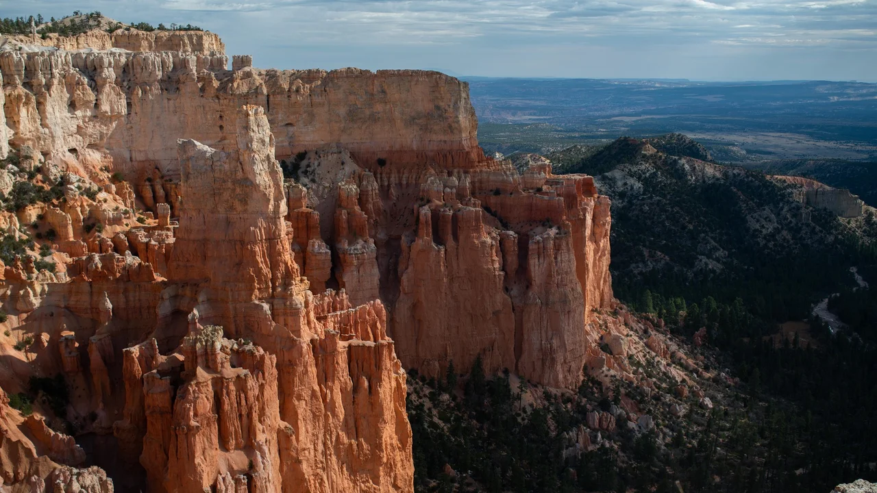
What you’re looking at
Paria View looks over an amphitheater shaped by Yellow Creek, which drains toward the Paria River.1
The spur road closes to vehicles in winter. Vehicles 23 feet (7 m) or longer cannot park here at any time, and the park shuttle does not stop here.1,2,3
Walks from here
Living things here
Habitats: Rocky breaks & rim. The viewpoint overlooks exposed breaks, where NPS notes that rocky ridges support trees adapted to difficult growing sites.7,8
Living Bryce entries for these habitats:
Care
NPS asks visitors to stay on trails, avoid climbing hoodoos, leave natural objects where they are and avoid feeding or disturbing wildlife. Walking toward a hoodoo’s base can disturb the clay-rich slopes that help protect its foundations, so enjoy the formations from established trails and overlooks.5,6
Data and sources
Datasets
Sources
- National Park Service · Paria View
- National Park Service · Visiting in Winter · 2024-03-05
- National Park Service · Parking Information
- National Park Service · Current Conditions · 2026-08-31
- National Park Service · Protect the Hoodoos · 2018-10-16
- National Park Service · Hiking · 2024-10-11
- National Park Service, Bryce Canyon · Plants · April 30, 2023
- National Park Service, Bryce Canyon · Limber Pine · March 3, 2025