
The Bryce Amphitheater
Sunrise Point and Queen’s Garden
A rim viewpoint where every stage of hoodoo formation is in view, and the start of the Queen’s Garden Trail.
Use the place description to choose what to study, then check the approach, walking effort and current restrictions before leaving.
Conditions & official access sources · Compare walking distance and climb · Queen’s Garden–Navajo route choices
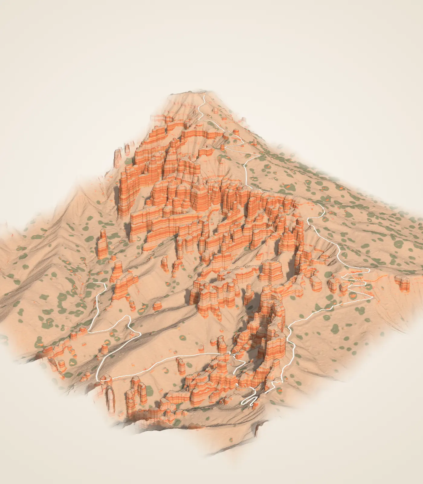
 DerivedThe Queen’s Garden model on the homepage: 2018 USGS lidar with the trail as mapped by OpenStreetMap volunteers. Surface color and lighting are drawn, not measured.
What you’re looking at
From Sunrise Point the whole sequence is visible. NPS describes the plateau rim eroding back to expose walls of layered rock called fins, which frost-wedging breaks with windows, and which eventually stand as isolated columns of stone: hoodoos.1,2
Rain and melting snow erode the edge of this high plateau at a rate of one to four feet every century, according to the NPS wayside here. Harder caprock layers preserve softer rock below, forming the fins.2
The Queen’s Garden Trail leaves from here, the least difficult trail into the Bryce Amphitheater. It winds down through a garden of hoodoos to one said to resemble Queen Victoria. NPS gives 1.8 miles round trip and about 450 feet of climbing on the way back.3
NPS describes a walk of about 0.2 miles from the shuttle stop to the viewpoint.4
Turn it in 3D
The homepage model can be turned, cut and compared with the laser returns. It loads only when you open it.
Then and now
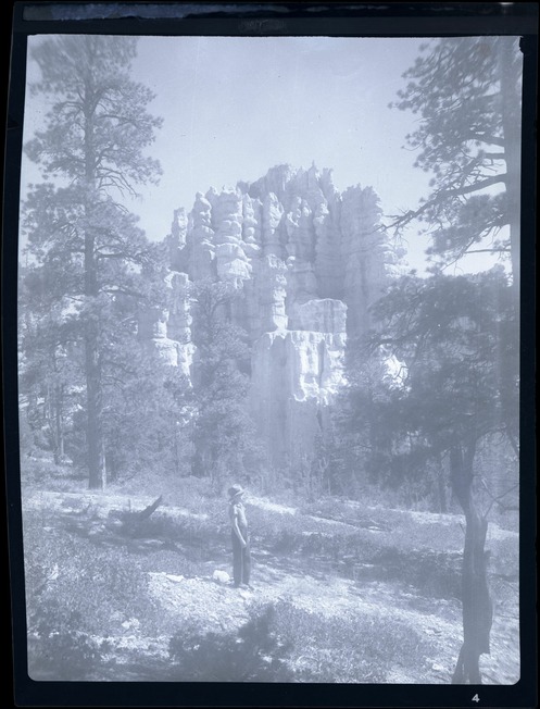
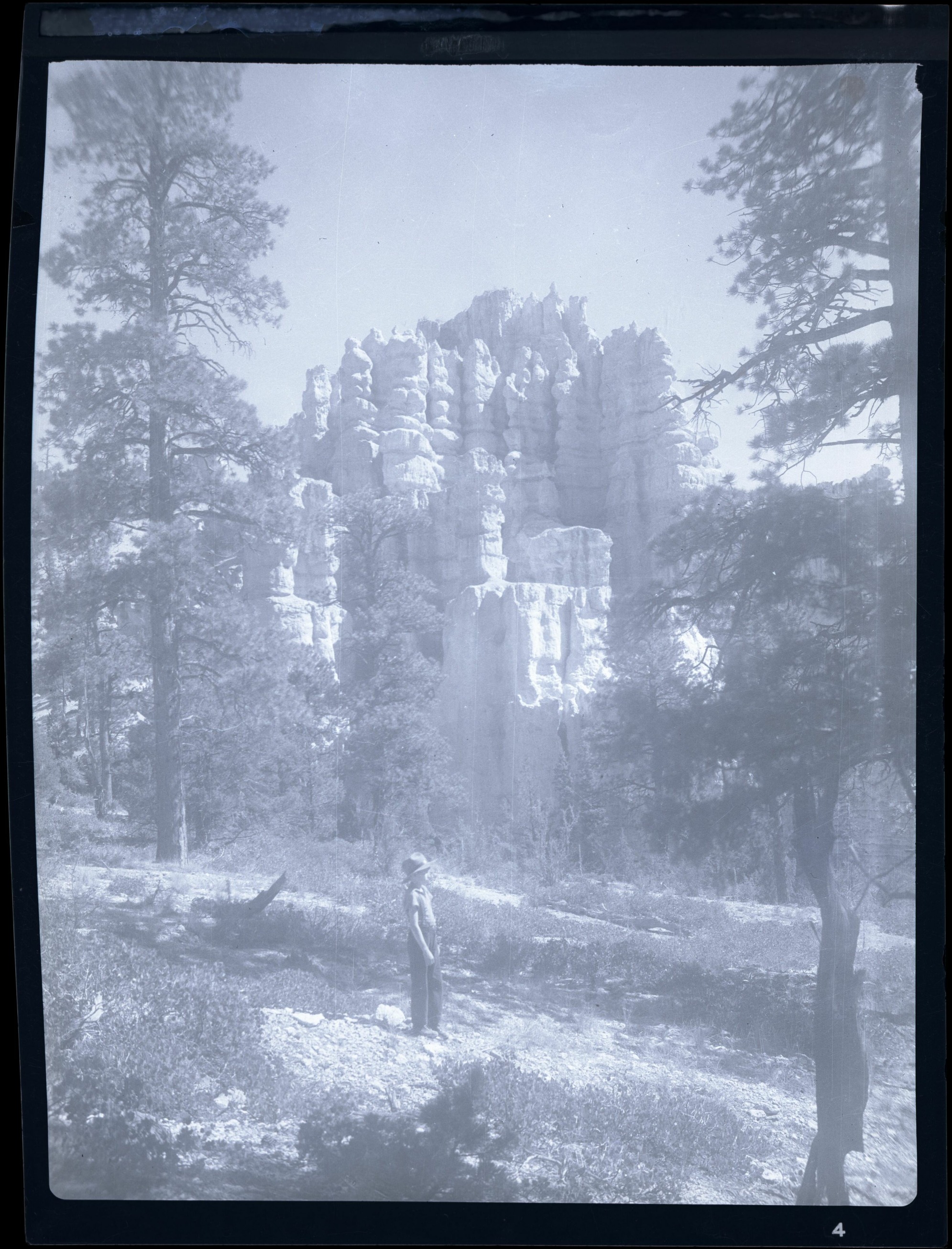
Early photographs of the same ground. They record a view, not a measured change; the camera positions are not known exactly.
Walks from here
- Queen’s GardenDown among the hoodoos, then back uphill. NPS: 1.8 mi, 450 ft of climbing, moderate.
- Queen’s Garden / NavajoTwo trails joined by a walk along the rim. NPS: 2.9 mi, 625 ft of climbing, moderate.
- Sunset to SunriseRead the amphitheater from the rim. NPS: 1 mi, 40 ft of climbing, easy.
Trail figures are the National Park Service’s. They are not current conditions; check NPS notices before a hike.
Living things here
Habitats: Rocky breaks & rim, Ponderosa forest. The viewpoint sits on the exposed rim of the amphitheater, and the trail descends through rocky breaks; NPS notes that rocky ridges support trees adapted to difficult growing sites, and that ponderosa pine and manzanita characterize the middle elevations.10,11,12
Living Bryce entries for these habitats:
Care
NPS asks visitors to stay on trails, avoid climbing hoodoos, leave natural objects where they are and avoid feeding or disturbing wildlife. Walking toward a hoodoo’s base can disturb the clay-rich slopes that help protect its foundations, so enjoy the formations from established trails and overlooks.8,9
Data and sources
Datasets
Sources
- National Park Service · NPS: Sunrise Point · 2024-10-10
- National Park Service · NPS: Life of Hoodoos wayside (Sunrise Point) · 2023-09-22
- National Park Service · Queen’s Garden Trail · 2026-08-15
- National Park Service · Park Shuttle
- National Park Service · Parking Information
- National Park Service · Current Conditions · 2026-08-31
- Bryce Canyon National Park Museum and Archives · Nitrate negative of boy standing in Queens Garden area of BRCA. Trees and vegetation in foreground. Hoodoos in background. ; BRCA Museum and Archives Image BRCA8875_001_035 ; BRCA 8875
- National Park Service · Protect the Hoodoos · 2018-10-16
- National Park Service · Hiking · 2024-10-11
- National Park Service, Bryce Canyon · Plants · April 30, 2023
- National Park Service, Bryce Canyon · Limber Pine · March 3, 2025
- National Park Service, Bryce Canyon · Trees and Shrubs · June 29, 2022