
The page reads in full without it; the interactive tools load only when you ask.
FORM STUDIES / 01—08
The anatomy
of a hoodoo.
Start with what you can see.
A ledge. A narrowing. A window through stone. Turn these forms in your hands, then look beneath the surface.
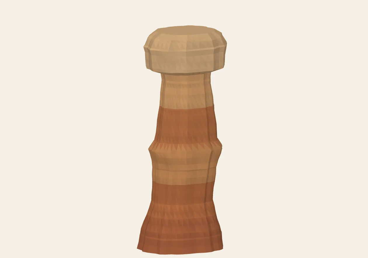
The static view is ready. Interactive controls load when JavaScript and WebGL are available.
Color is a reading aid. It does not identify rock layers or minerals.
Keyboard, touch & scale
Focus the model and use arrow keys to turn or tilt, + / − to zoom, and Home to restore the camera. On touchscreens, drag sideways to turn and scroll vertically to read. Buttons and sliders provide the same controls without dragging.
All forms are drawn 10 dimensionless units (u) tall. One unit has no assigned length in metres or feet. Compare mode keeps both models at the same scale. There is no automatic motion or audio.
LOOK FIRST. INTERPRET SECOND.
A shape is a clue,
not a complete history.
Weathering breaks rock down; erosion moves the loosened material. At Bryce, fractures, water, freezing and differences in rock resistance help shape fins and hoodoos. Read the NPS explanation ↗
These forms let you practice describing that geometry. They cannot reveal the age, composition or stability of a real hoodoo. A teal cut is an invented section through the model.
THE STATIC COLLECTION
Twelve field plates.
Take a closer look, with or without 3D.
Open any plate for the full vector drawing.
 Illustration
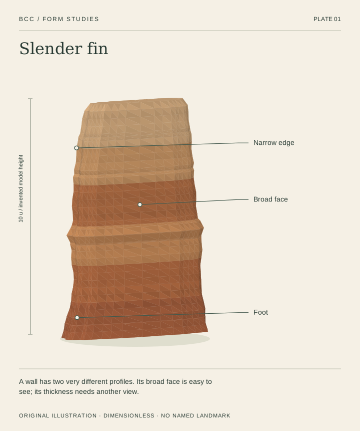
01Slender fin
A wall has two very different profiles. Its broad face is easy to see; its thickness needs another view.
 Illustration
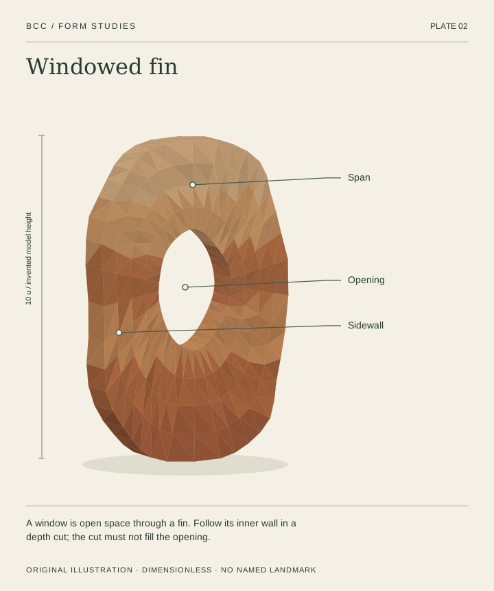
02Windowed fin
A window is open space through a fin. Follow its inner wall in a depth cut; the cut must not fill the opening.
 Illustration
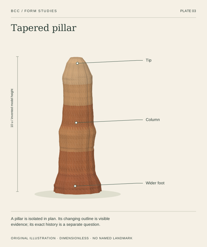
03Tapered pillar
A pillar is isolated in plan. Its changing outline is visible evidence; its exact history is a separate question.
 Illustration
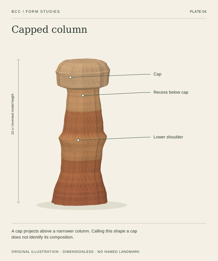
04Capped column
A cap projects above a narrower column. Calling this shape a cap does not identify its composition.
 Illustration
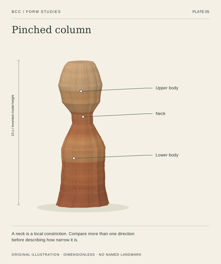
05Pinched column
A neck is a local constriction. Compare more than one direction before describing how narrow it is.
 Illustration
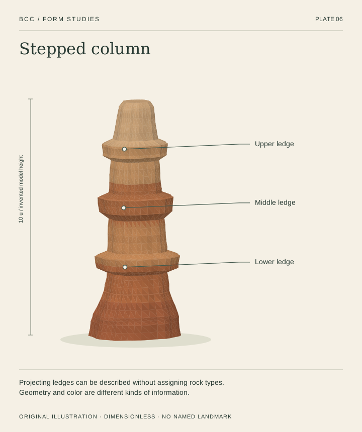
06Stepped column
Projecting ledges can be described without assigning rock types. Geometry and color are different kinds of information.
 Illustration
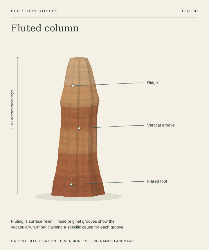
07Fluted column
Fluting is surface relief. These original grooves show the vocabulary, without claiming a specific cause for each groove.
 Illustration
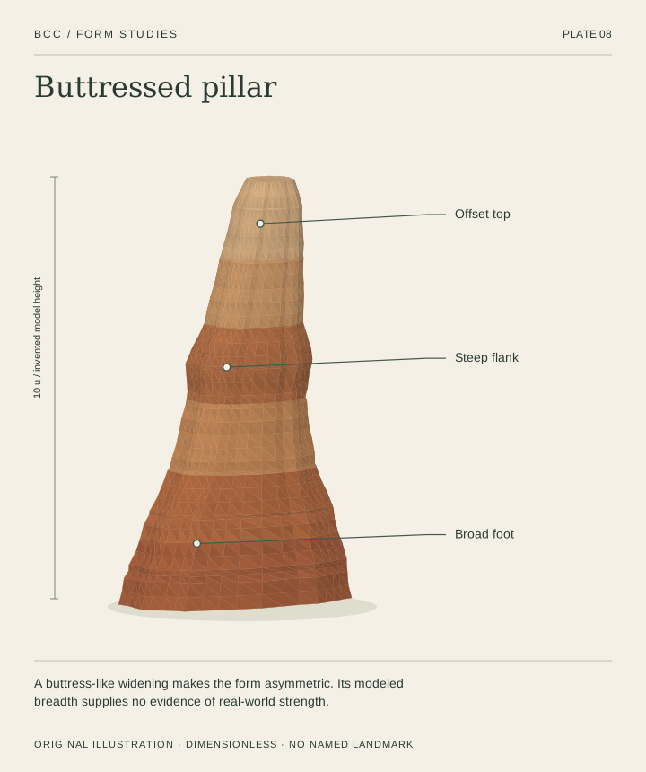
08Buttressed pillar
A buttress-like widening makes the form asymmetric. Its modeled breadth supplies no evidence of real-world strength.
 Illustration
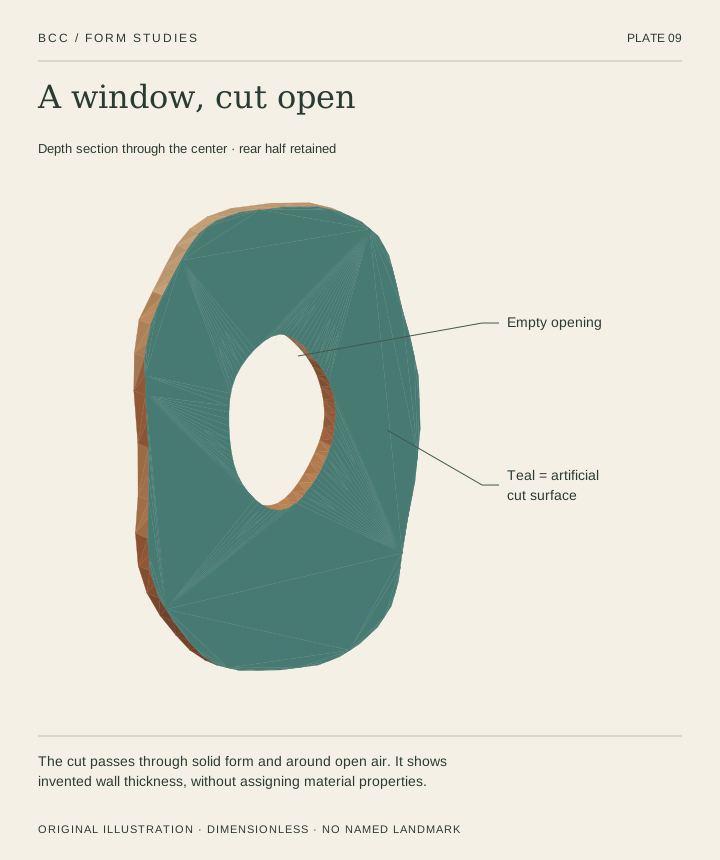
09A window, cut open
The teal surface is an artificial depth cut. The opening stays empty; the cut reveals only the modeled wall thickness.
 Illustration
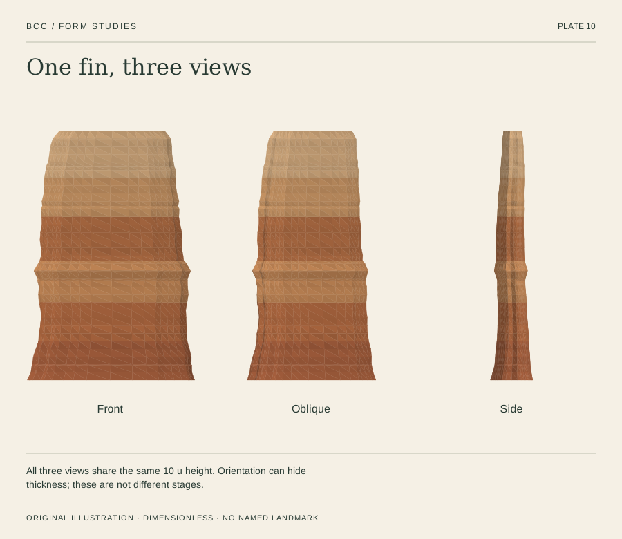
10One fin, three views
Front, oblique and side views share one geometry and scale. A thin edge can disappear behind a broad face.
 Illustration
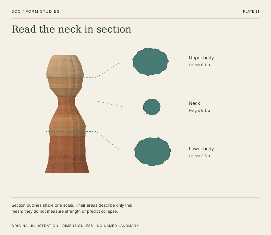
11Read the neck in section
Three horizontal cuts through one column show how the modeled outline changes with height. All sections share a scale.
 Illustration
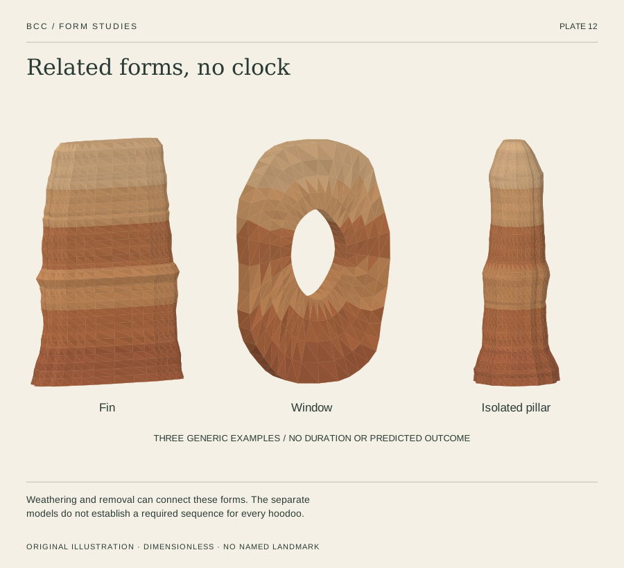
12Related forms, no clock
Fin, window and isolated pillar illustrate a possible relationship described by NPS. They are separate generic models, not a dated reconstruction or forecast.
READING THE EVIDENCE
Made to explain.
Never to impersonate.
Every surface, groove and color here is original illustrative geometry. No scan, aerial model or photograph was used to reproduce a named hoodoo. None is a substitute for the ground-level scan needed for Thor’s Hammer.
This is a form library. For a separate conceptual process exhibit, visit the weathering lab.
Scale & section conventions
Y points up. All full forms are 10 u tall; u is a dimensionless model unit. The cut slider is a position through the model’s bounds, not a percentage of rock removed. Height cuts retain the lower part; depth cuts retain the rear part. Color and cut faces do not represent measured strata.
Reuse the collection
Each model has a stable ID, deterministic parameters and a closed mesh export. The asset catalogue includes units, bounds, topology and source records. The reuse notes explain the generator and evidence limits.
Primary reading
- Hoodoos ↗National Park Service · Bryce Canyon · updated 2021-09-04
- Wall and Narrows ↗National Park Service · Bryce Canyon · updated 2021-09-04
- Arches ↗National Park Service · Bryce Canyon · updated 2015-02-24
- Geodiversity Atlas: Bryce Canyon ↗National Park Service · Geologic Resources Inventory · updated 2024-06-17
Sources checked 2 October 2026. Facts are paraphrased; agency photographs and diagrams are not reproduced. This independent educational exhibit does not imply agency endorsement.