
South along the plateau
Agua Canyon
Two named hoodoos, the Hunter and the Rabbit, stand against the steep edge of the southern plateau.
 Measured
Use the place description to choose what to study, then check the approach, walking effort and current restrictions before leaving.
Conditions & official access sources · Compare walking distance and climb
What you’re looking at
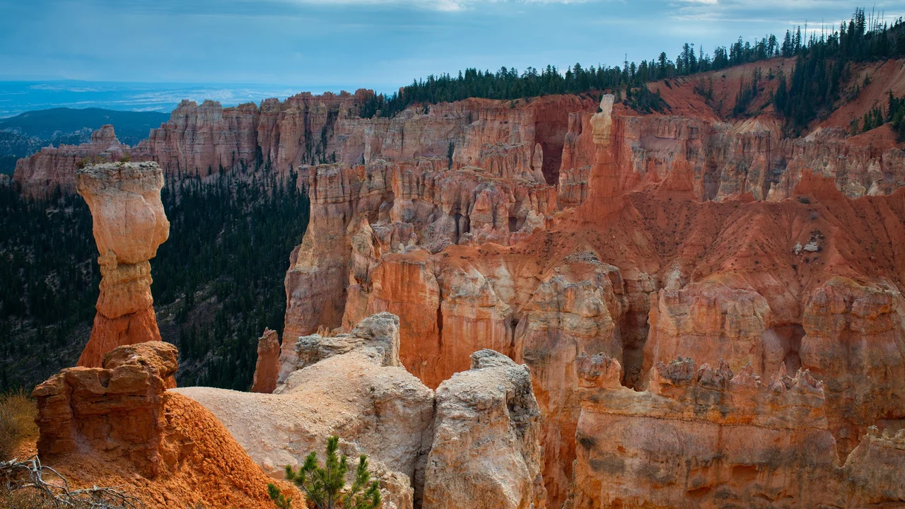
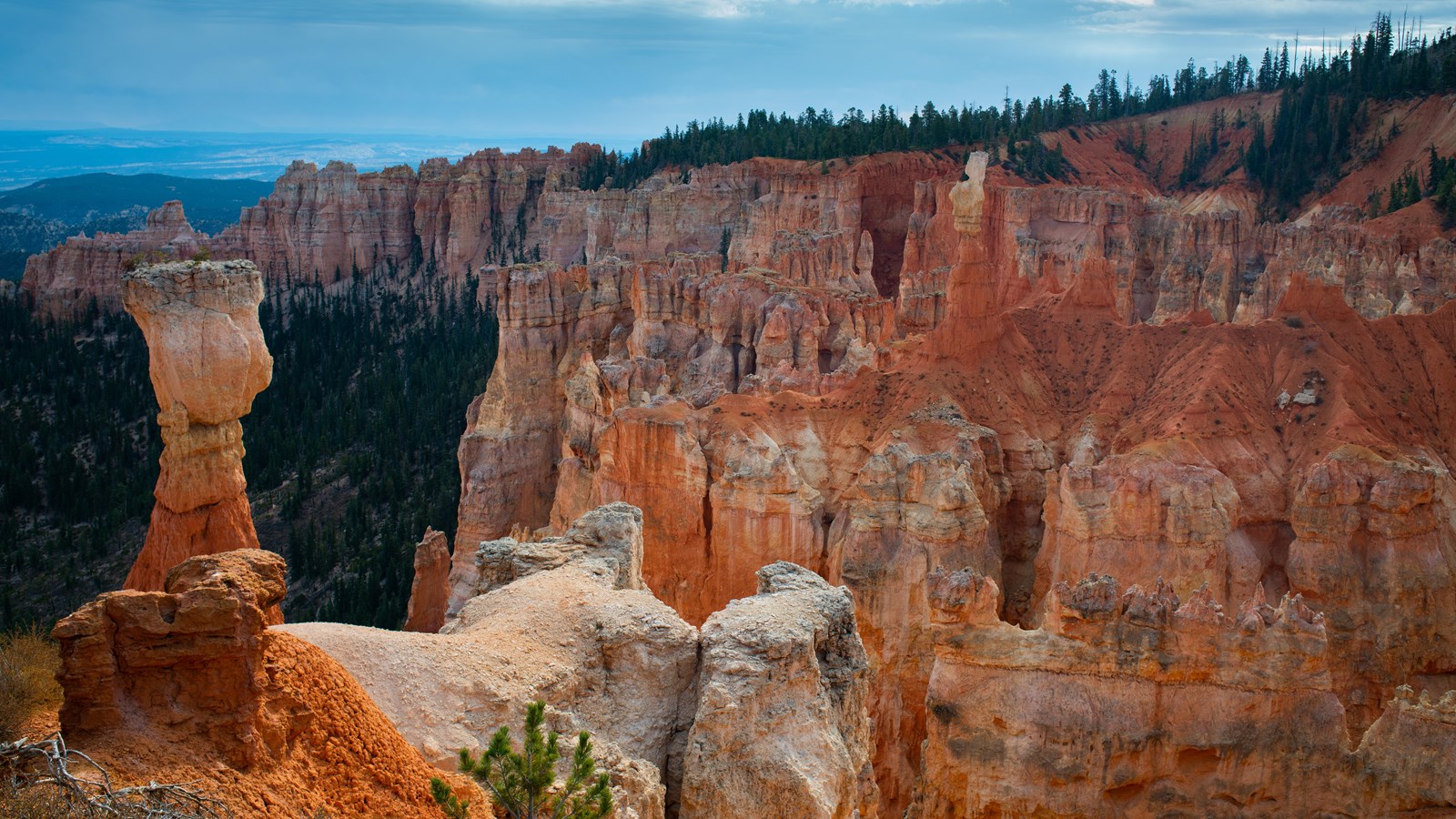
NPS identifies two prominent hoodoos at Agua Canyon, the Hunter and the Rabbit. They stand within a bowl eroded into the plateau’s eastern edge. In the NPS photograph from the overlook, the tall hoodoo on the left is the Hunter.1
The NPS place account also notes how old names based on resemblance can outlast the shapes that inspired them.1
The overlook is at about mile 13.5 of the 18-mile scenic drive. No park shuttle serves this part of the road; use the designated pullout.1,2,3
Turn it in 3D
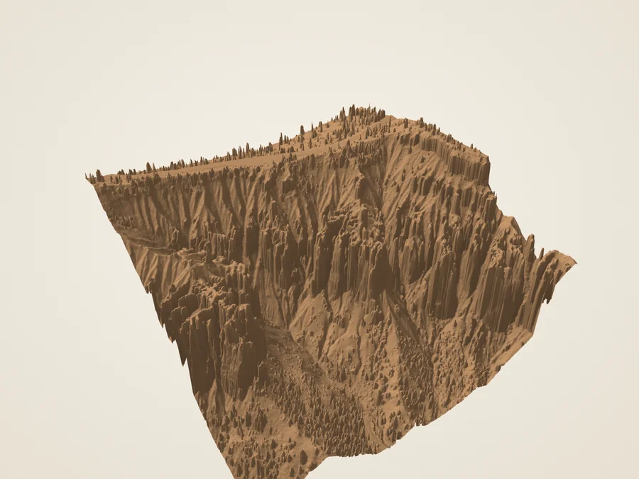
 DerivedAgua Canyon sector: the 2018 lidar surface, seen at an angle.
Turn the surface, cut a section across it, and compare the aerial color with the laser returns the aircraft recorded. The 3D view loads only when you open it.
Section and skyline
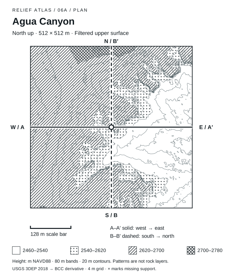
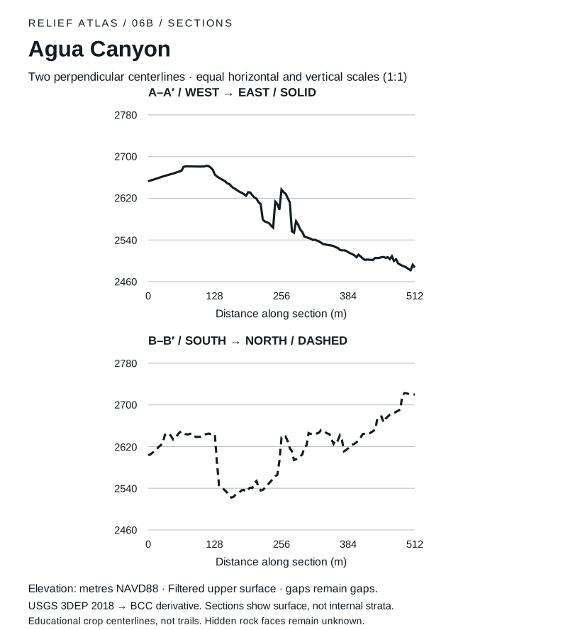
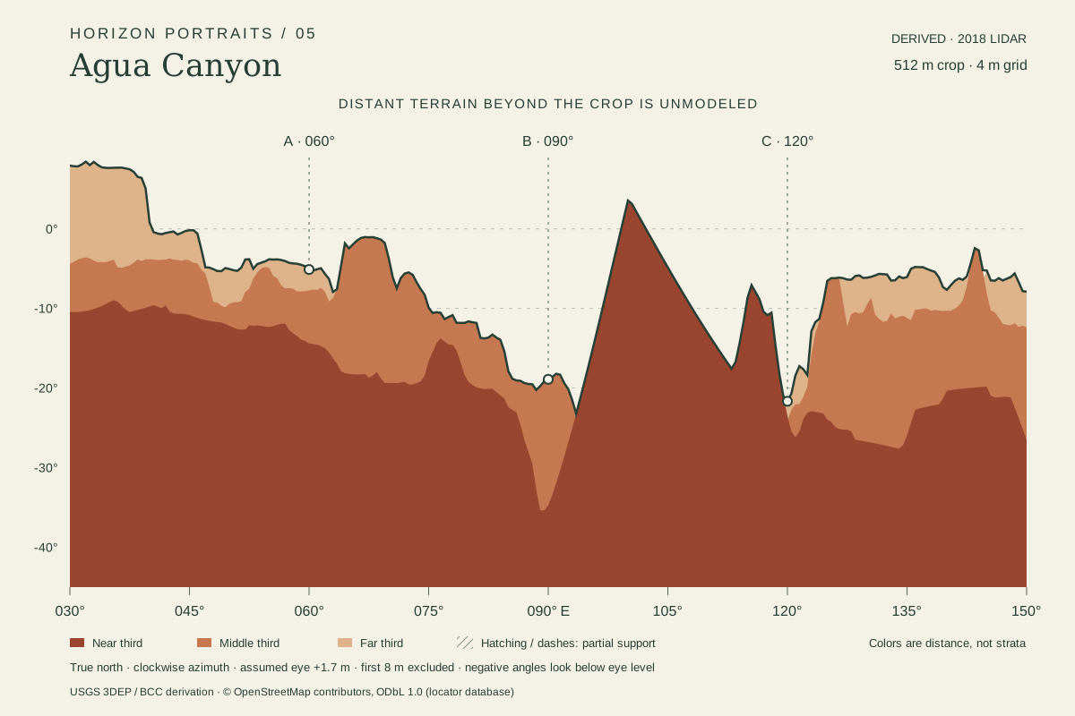 DerivedAgua Canyon skyline: A compact eastward crop with an upper surface derived from filtered airborne returns. Thin spires and vertical faces remain limited by the source grid. Drawing (SVG)
Walks from here
Add it to a visit plan Find it on the park map Read it along the scenic drive
Living things here
Habitats: Rocky breaks & rim, Mixed-conifer forest. The hoodoos stand in exposed breaks below forested rim; NPS describes the higher southern forests with white fir, Douglas-fir, pines and pockets of aspen.10,11,12,13
Living Bryce entries for these habitats:
Care
NPS asks visitors to stay on trails, avoid climbing hoodoos, leave natural objects where they are and avoid feeding or disturbing wildlife. Walking toward a hoodoo’s base can disturb the clay-rich slopes that help protect its foundations, so enjoy the formations from established trails and overlooks.8,9
Read without 3D
The Agua sector includes strong surface relief. A high patch is a part of the sampled surface; these diagrams do not assign individual hoodoo names or recover hidden rock faces.
- West to east through the center: 2,653 m at the west edge, 2,487 m at the east edge; lowest 2,482 m, highest 2,682 m.
- South to north through the center: 2,604 m at the south edge, 2,720 m at the north edge; lowest 2,522 m, highest 2,723 m.
Plan plate (SVG) · Section plate (SVG) · Print the relief atlas
Data and sources
Datasets
- Overlook photographs
- Terrain for 20 places
- Lidar return samples
- Overlook skylines
- Park destinations and roads
- Relief in text and print
Sources
- National Park Service · Agua Canyon
- National Park Service · Southern Scenic Drive Viewpoints · 2024-04-09
- National Park Service · Parking Information
- USGS data; public Entwine organization maintained by Hobu · USGS 3DEP LiDAR Point Clouds · 2018 acquisition; LAS published 2019
- US Geological Survey · USGS Lidar Point Cloud UT Southern QL1 2018 12SUG9562 LAS 2019 metadata · 2019-06-03
- USDA FPAC / Farm Service Agency · USDA conterminous US NAIP imagery service · 2024 Utah acquisition, exact flight dates per crop
- National Park Service · Current Conditions · 2026-08-31
- National Park Service · Protect the Hoodoos · 2018-10-16
- National Park Service · Hiking · 2024-10-11
- National Park Service, Bryce Canyon · Plants · April 30, 2023
- National Park Service, Bryce Canyon · Limber Pine · March 3, 2025
- National Park Service, Bryce Canyon · Birds · September 11, 2024
- National Park Service, Bryce Canyon · Trees and Shrubs · June 29, 2022