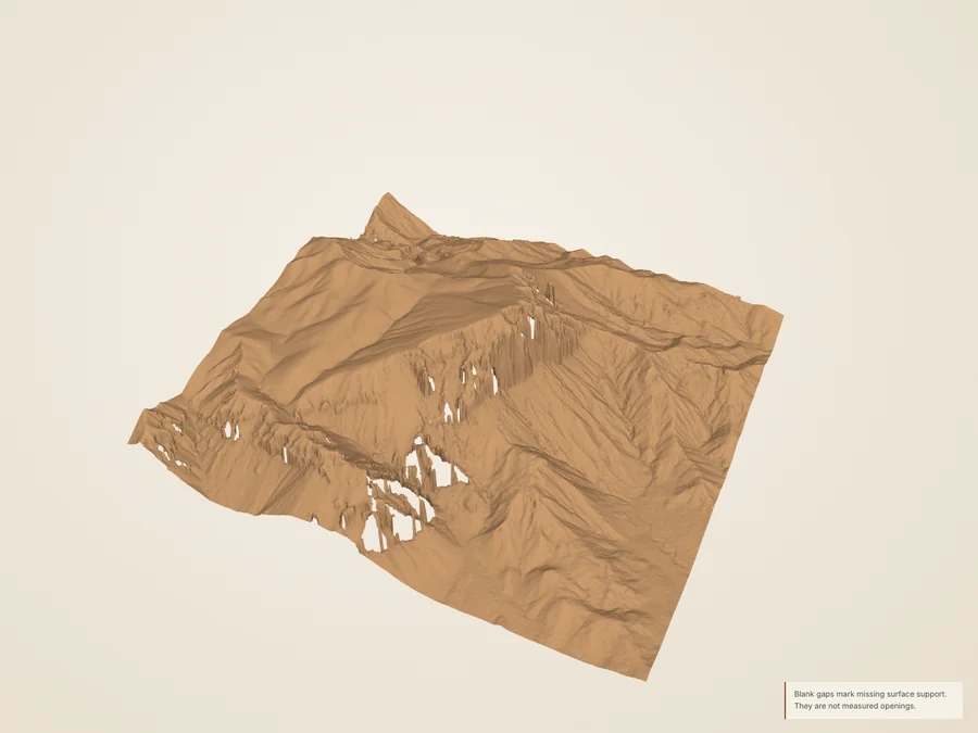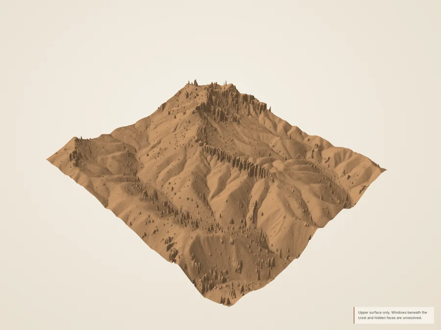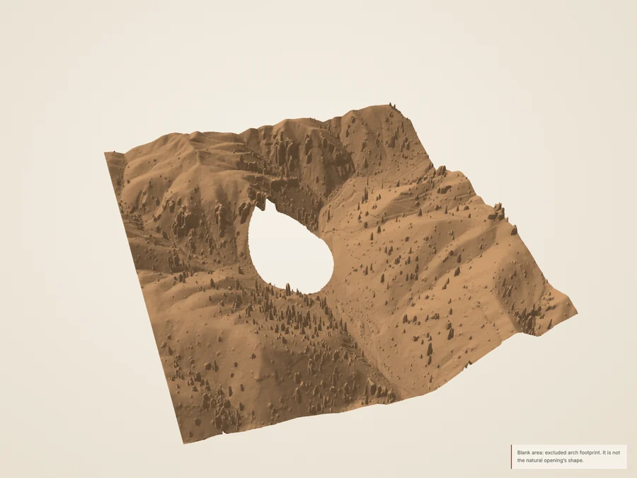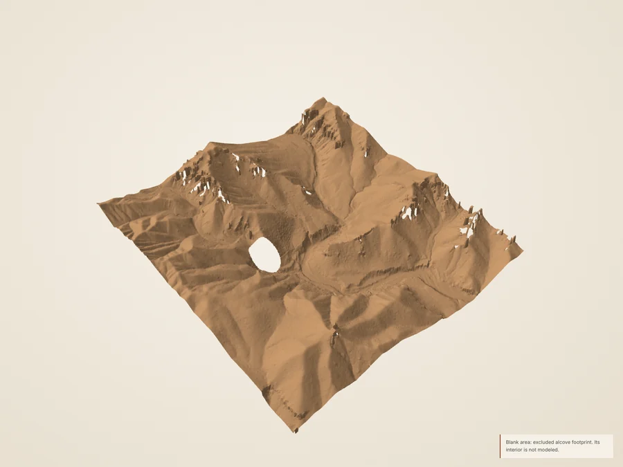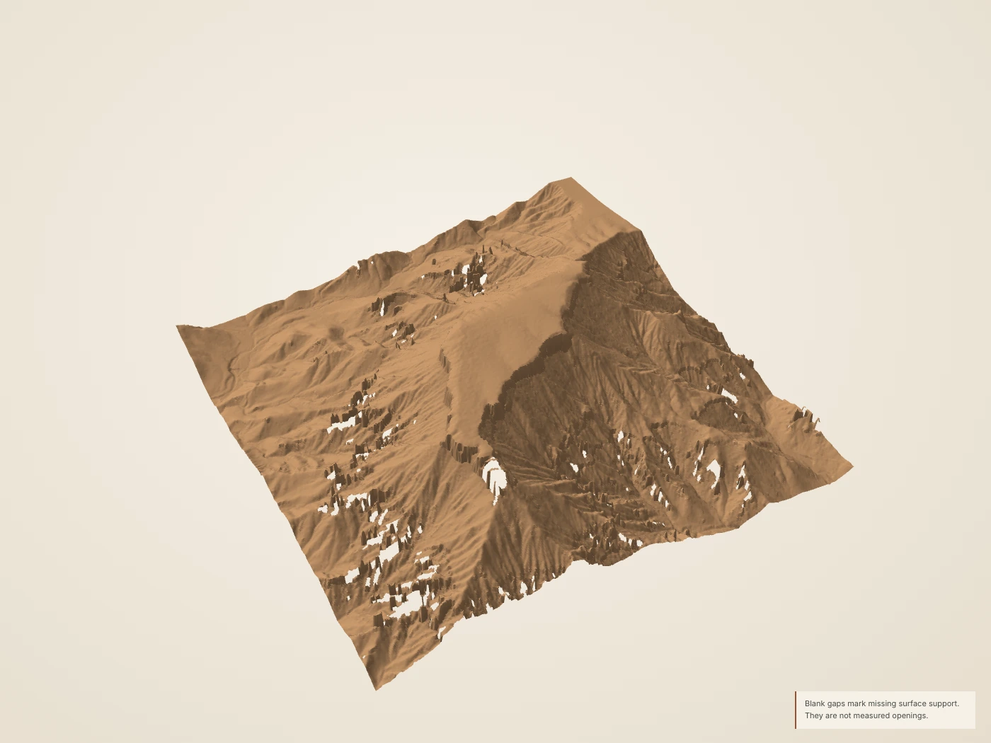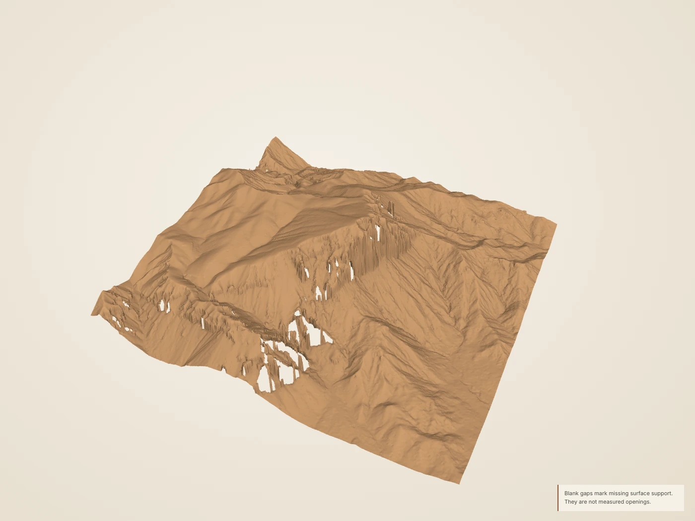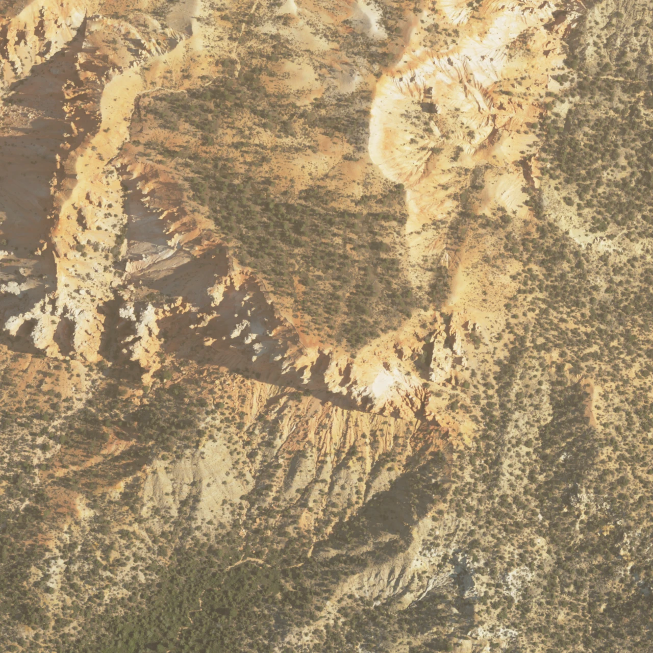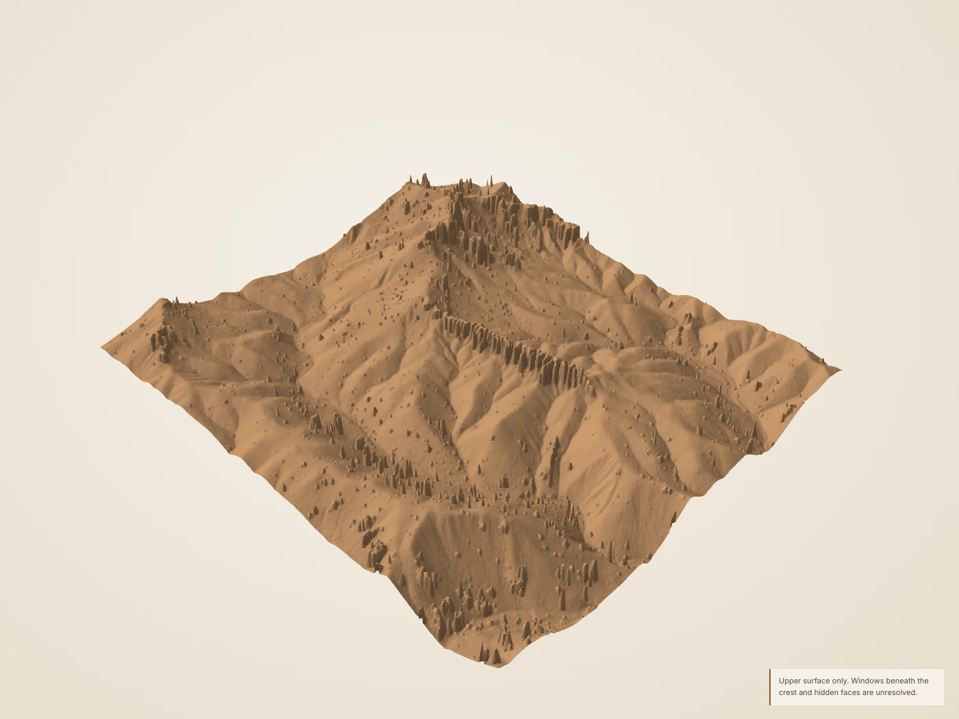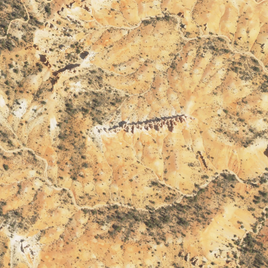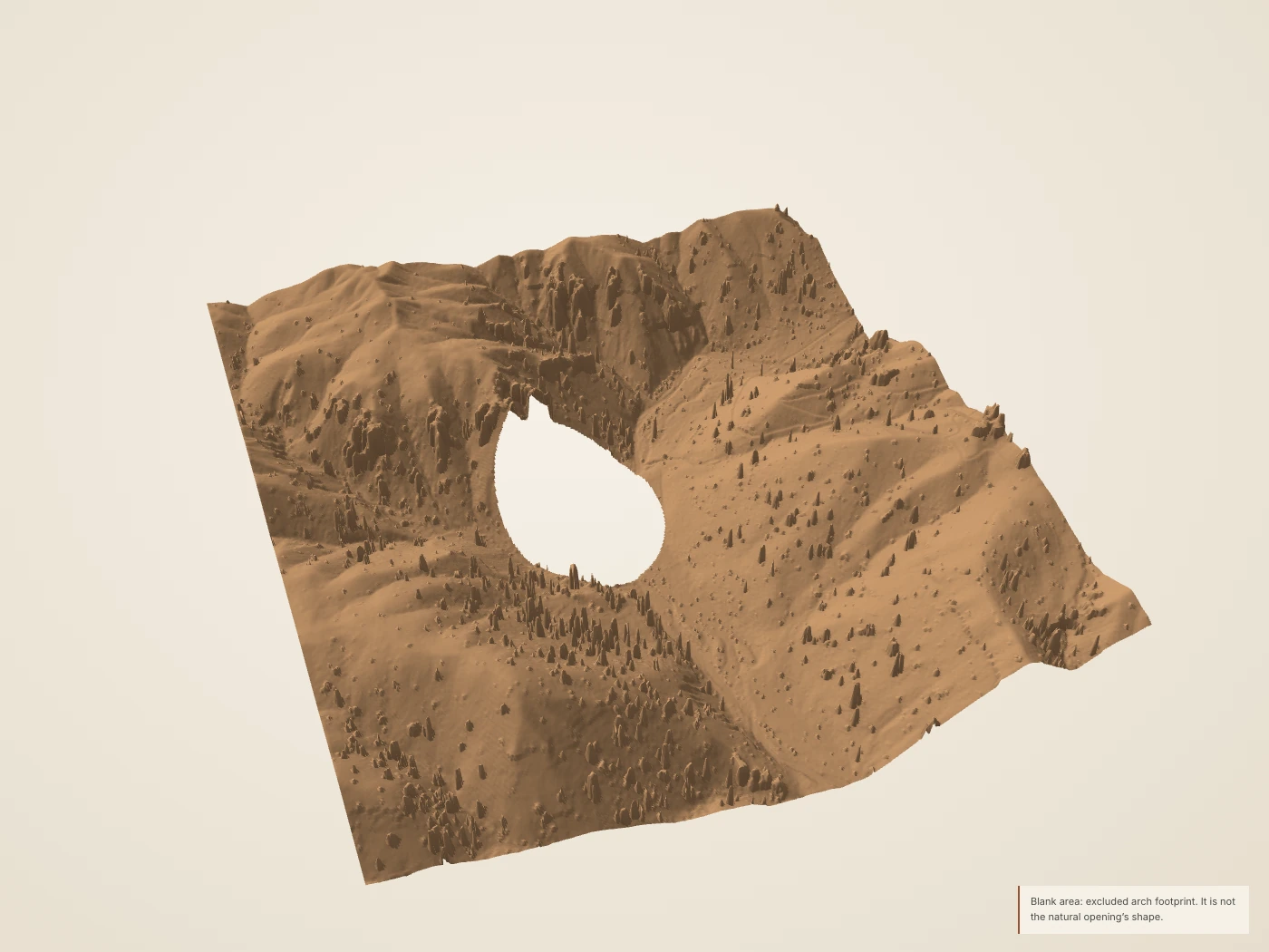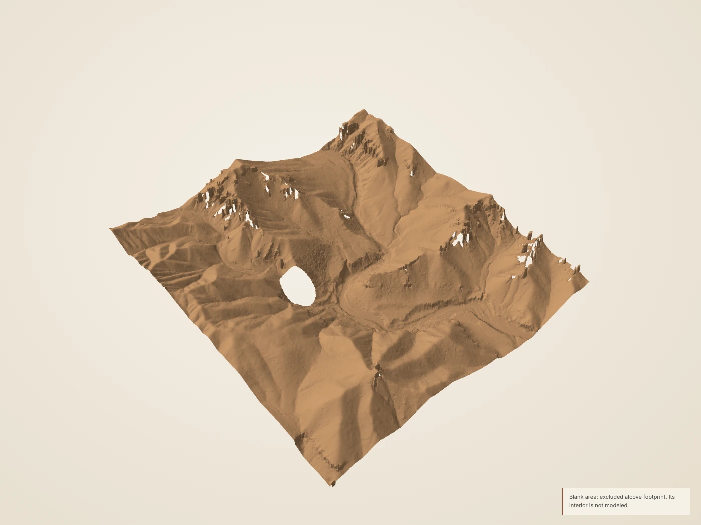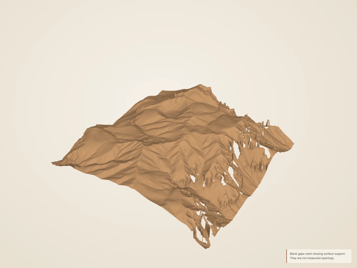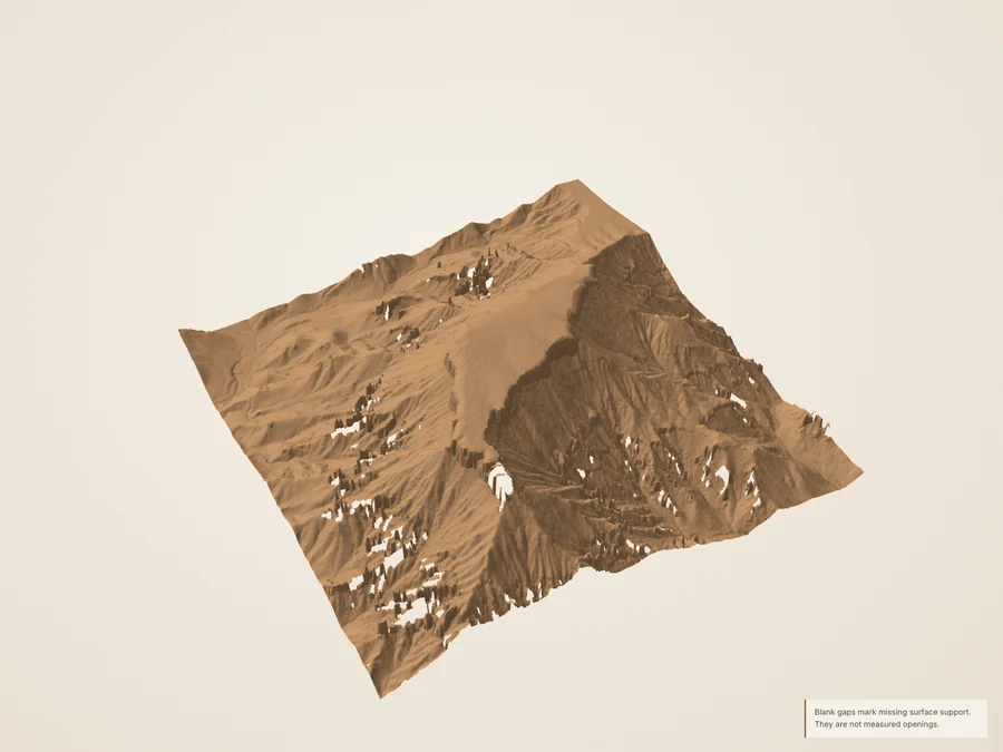
 Derived Source-derived landscape · 1× vertical scale · drawn surface color. Larger still
Static section & source coverage
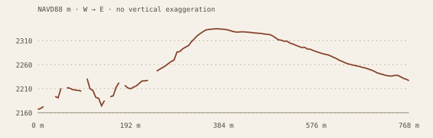
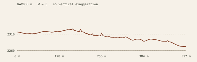
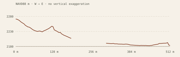
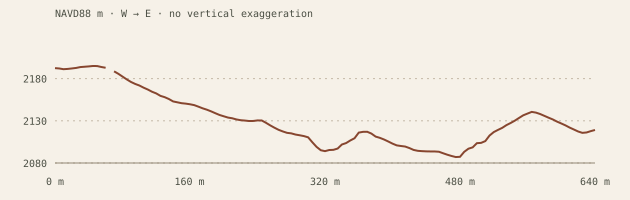
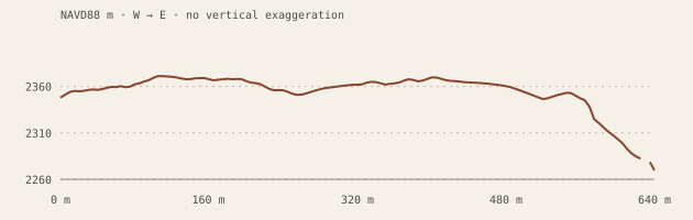
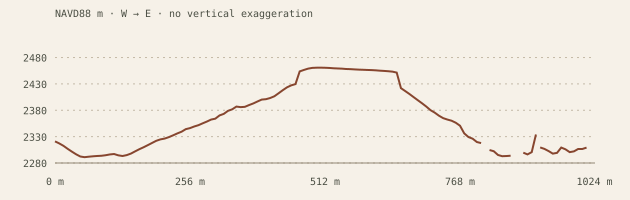 Derived The profile shows surface shape at equal horizontal and vertical scale. It cannot show a buried contact or date erosion.
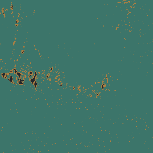
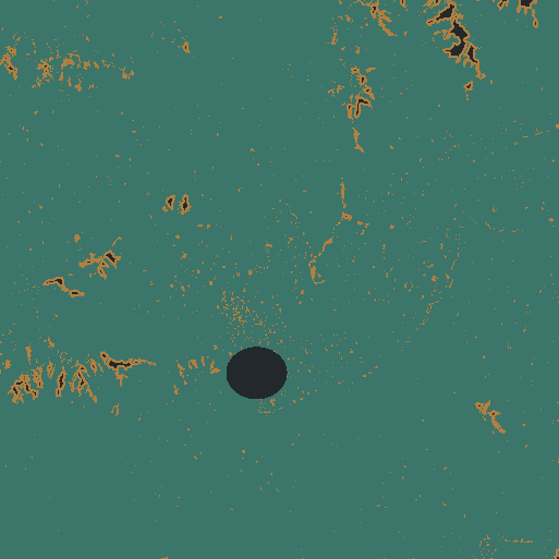
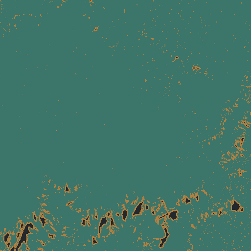
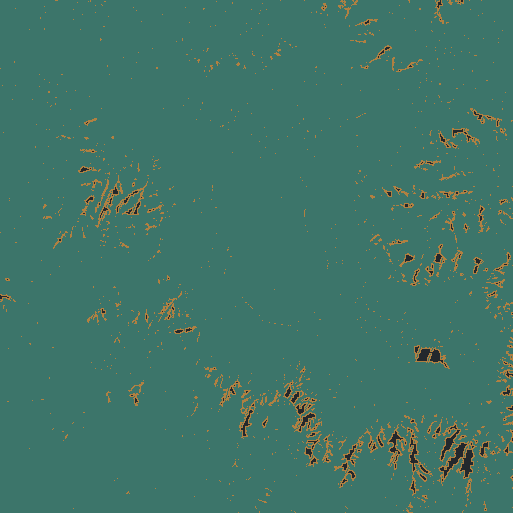 Derived North up. Teal: retained return in the cell. Ochre: nearest fill within 3 m. Dark: unsupported or excluded. An observed cell does not establish hidden-wall coverage.
01 / A summit with a protective cap
Boat Mesa
A broad summit holds above a landscape cut into fins and hollows.
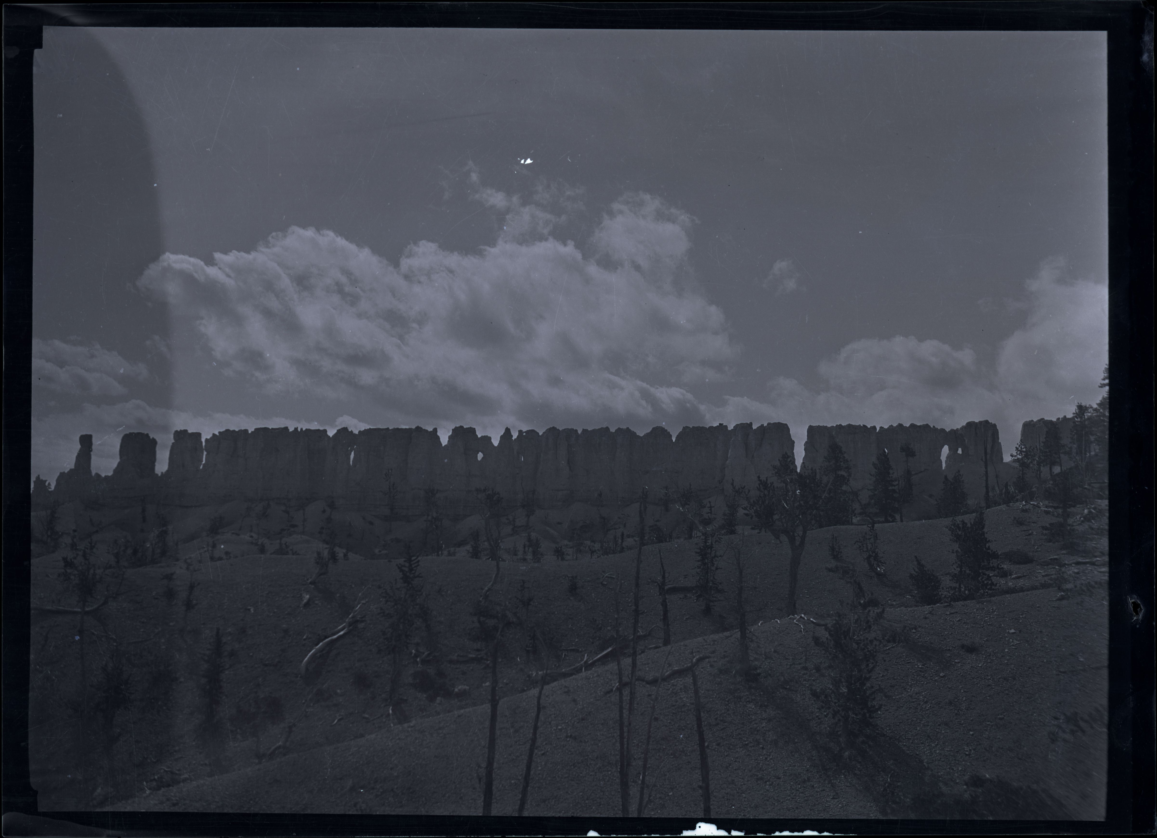
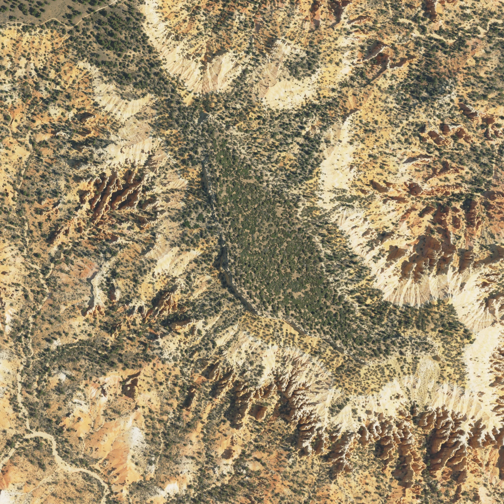
Boat Mesa sits south of Fairyland Point. NPS describes a resistant conglomerate cap above the Claron rocks that form the surrounding hoodoos. Turn this new summit-centered crop to follow the contrast between the broad upper surface and its dissected margins.
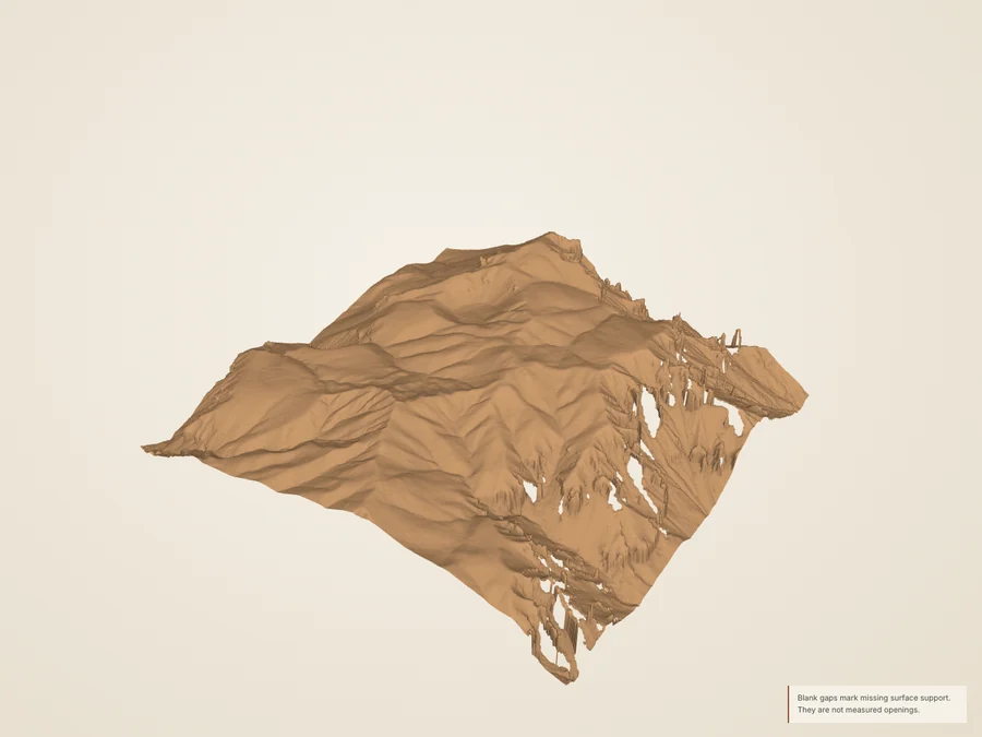
Read the break in the skyline. Move a west-to-east section across the mesa. A relatively gentle upper surface gives way to steeper margins, but the profile measures topography, not cap thickness. This study uses only the survey’s ground class to remove the forest canopy; compare the full return sample to see the difference.
The source ground class can omit standing rock; hidden cliff faces remain unresolved. Published geology identifies the conglomerate, but this surface does not map its contact or measure cap thickness.
Measured extent, resolution & source record
- Footprint
- 1,024 × 1,024 m. Editorial crop, not a feature boundary.
- Returns
- 37,786,985 usable returns; 36.04 returns/m². Density is not an accuracy claim.
- Detail grids
- 8.0 / 4.0 / 2.0 m. Nested samples of the same surface.
- Coverage
- 95.41% direct fine-grid support before exclusions; 3.67% short nearest fill. 0.92% omitted after masks.
- Elevation
- 2222.5–2463.5 m NAVD88 in the reconstructed crop; 1× vertical scale.
- Coordinates
- Source native NAD83(2011) / UTM 12N; public EPT in EPSG:3857; export in WGS84 / UTM 12N. Z retained as NAVD88 / Geoid12B. No survey-grade datum alignment asserted.
- Photograph
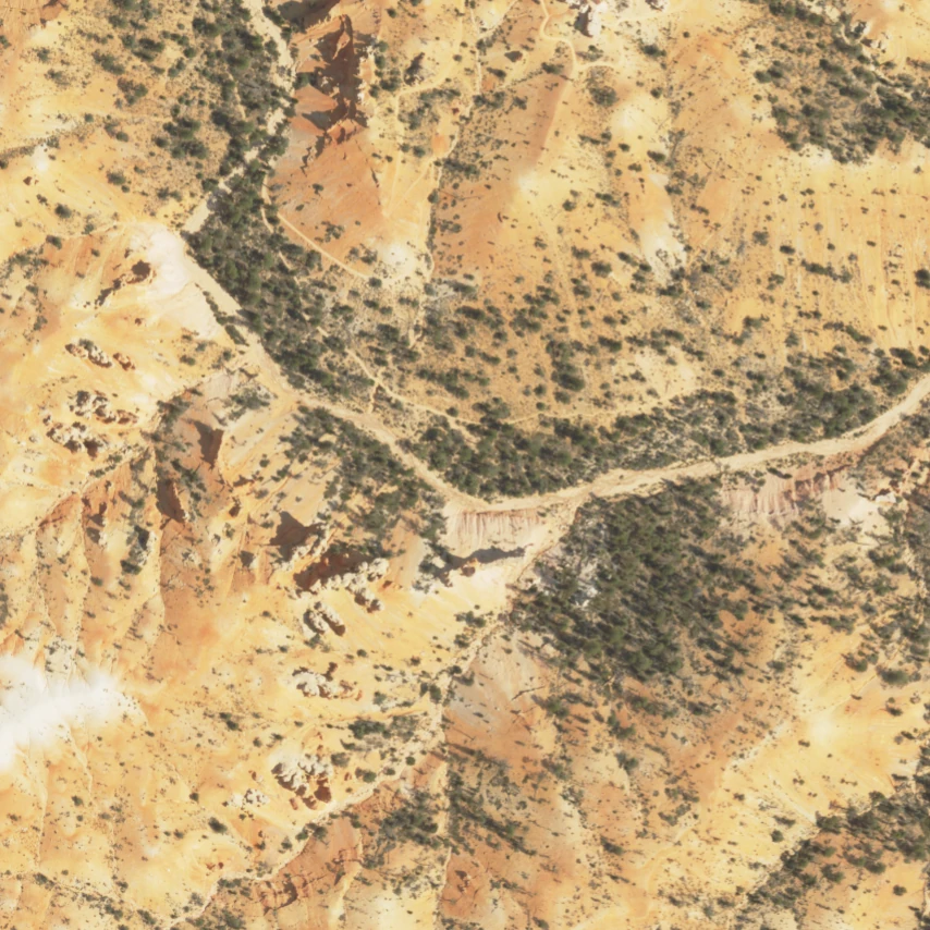
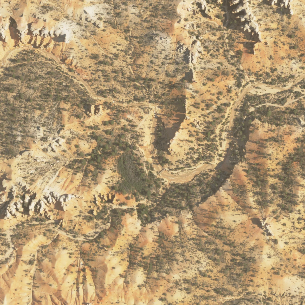
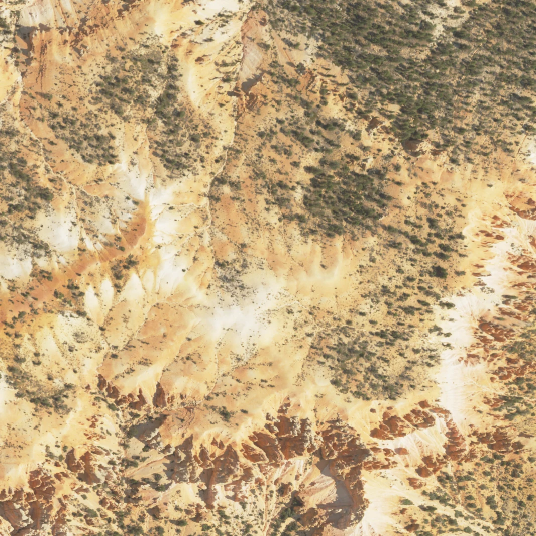
- USDA NAIP, 2024-07-23; 0.6 m source pixels, shown separately from the 2018 surface.
USGS geographic names: northern Bryce landforms · Fairyland Point
Complete model packet · Source objects and hashes · High-detail glTF (.gz, 6.49 MB)